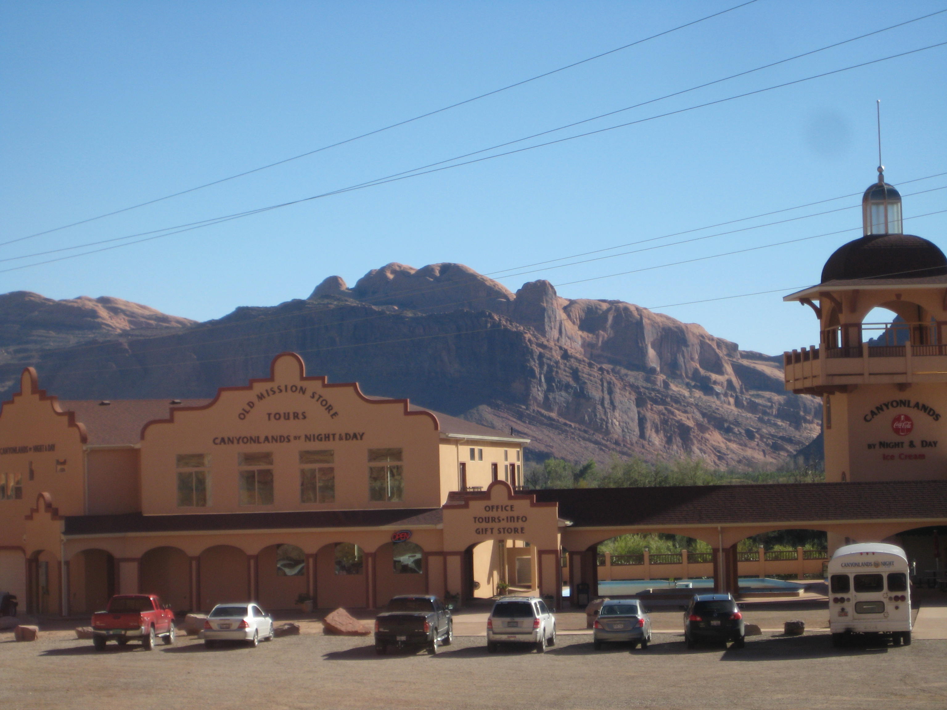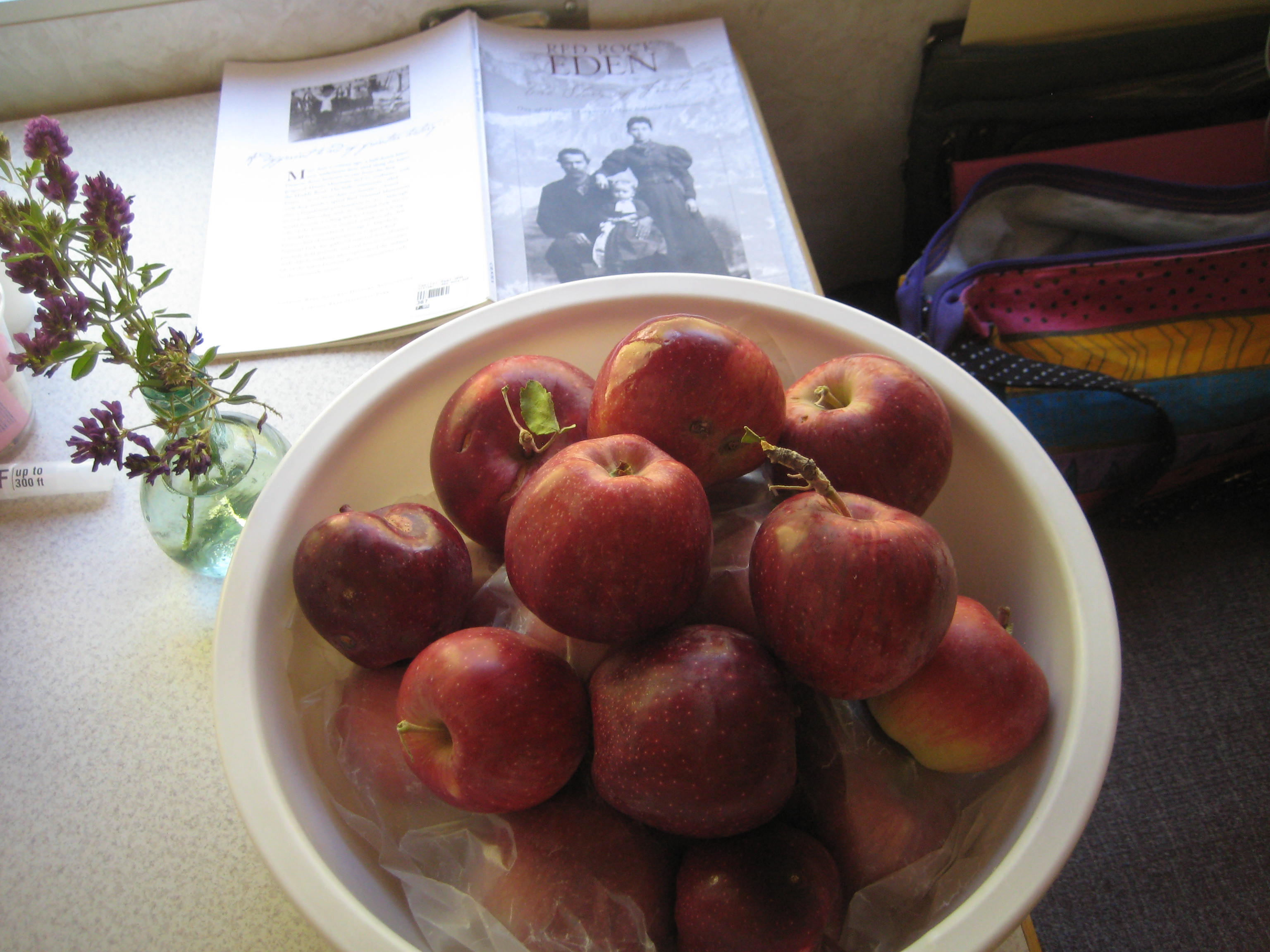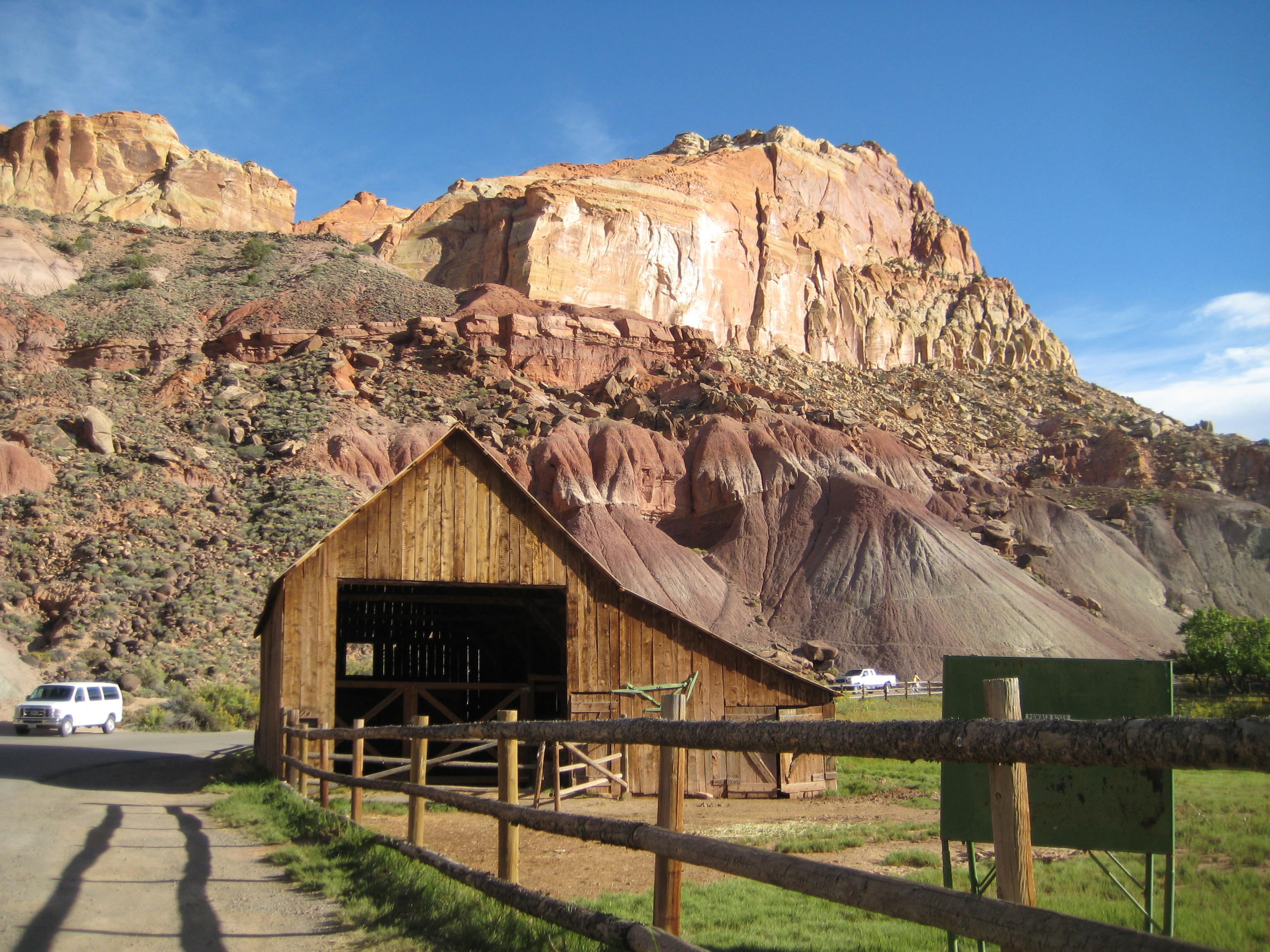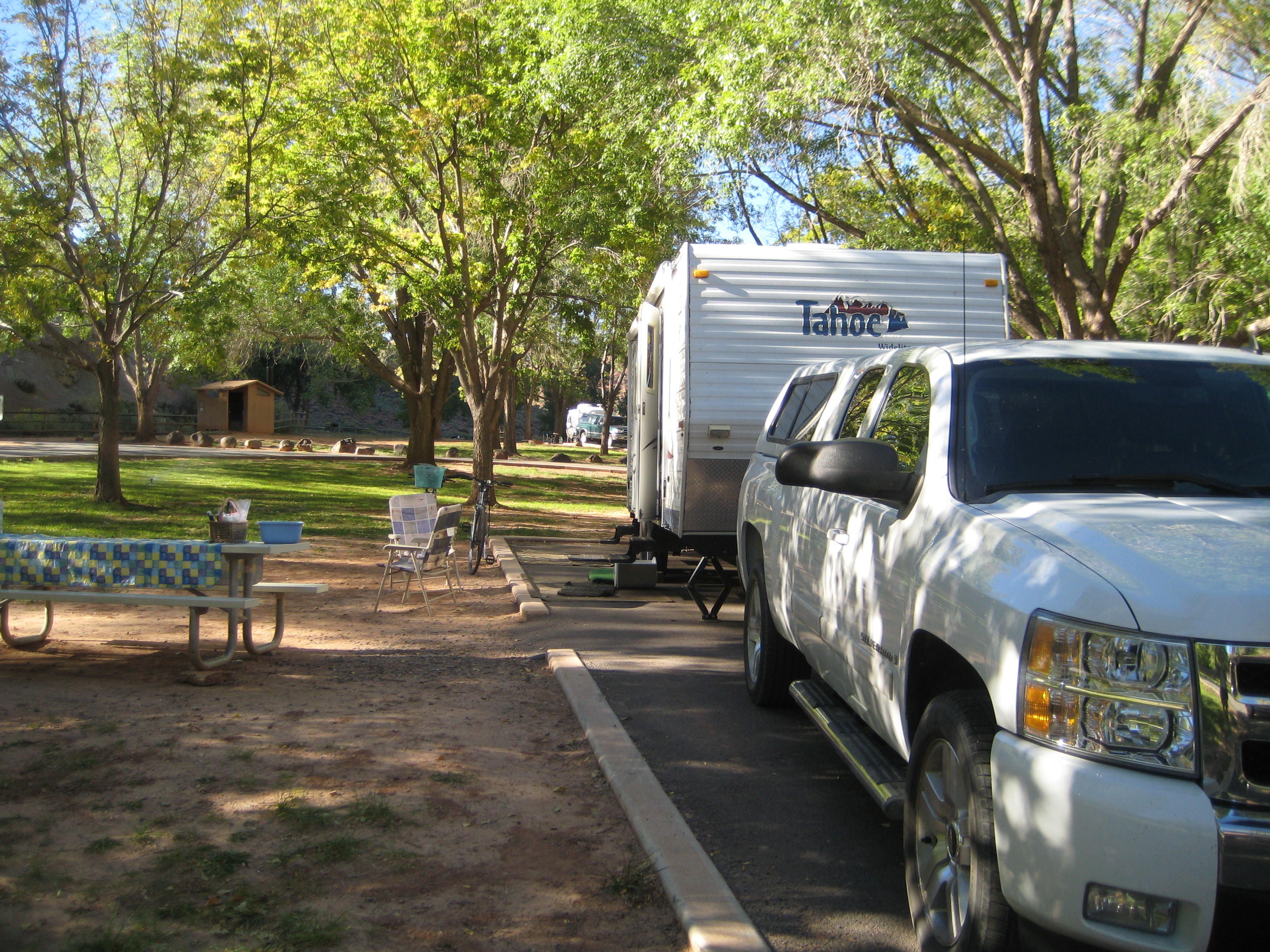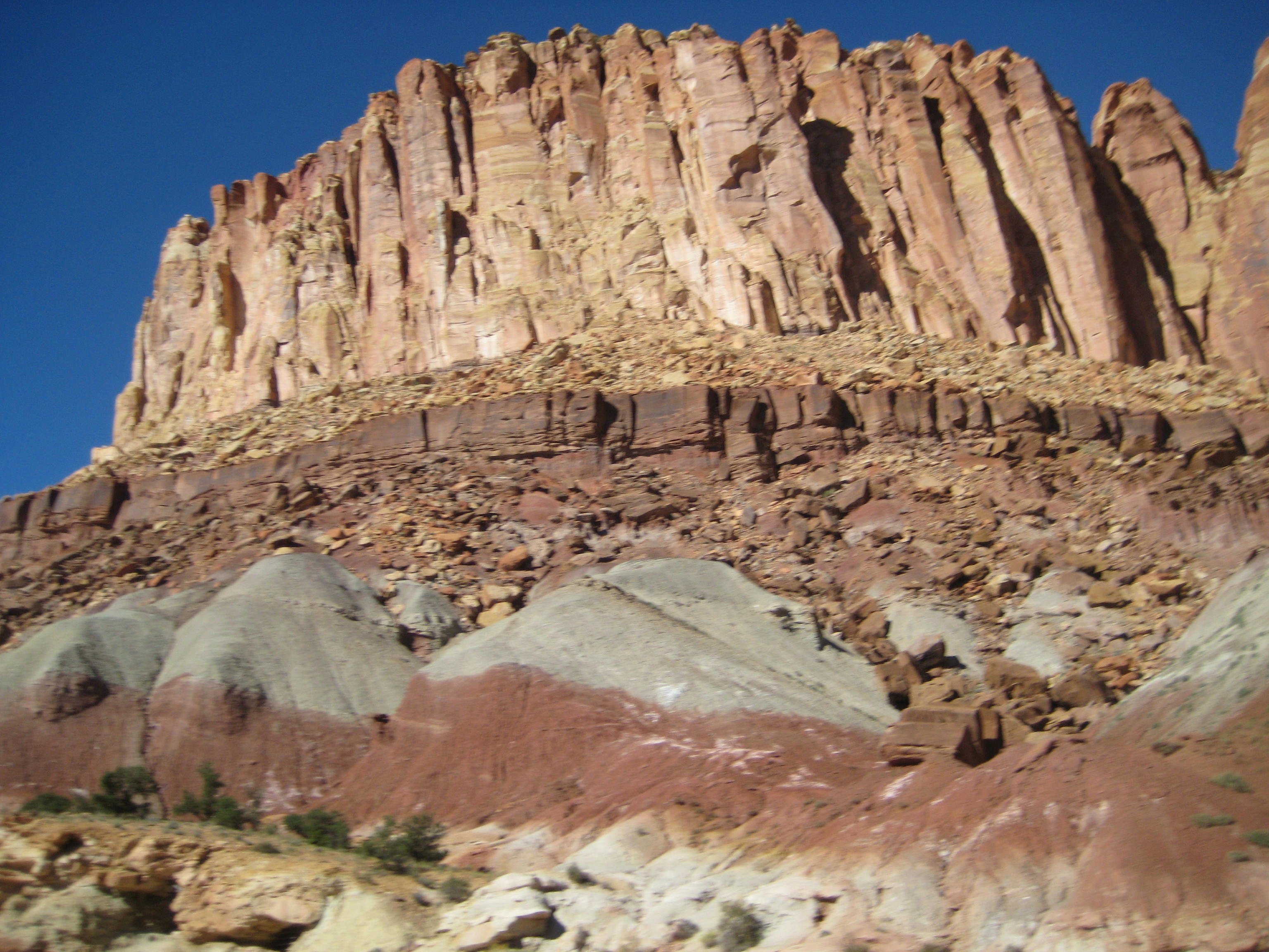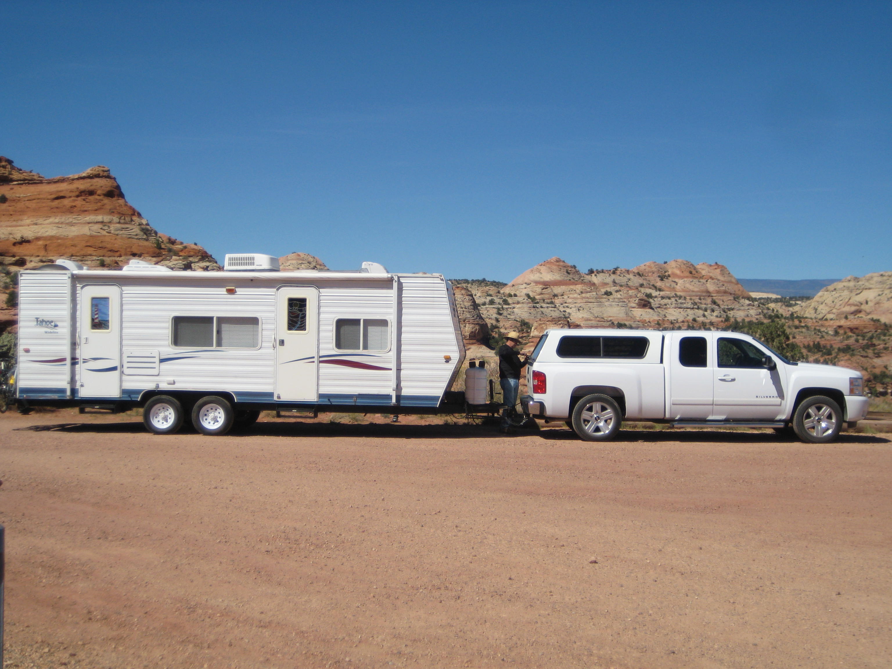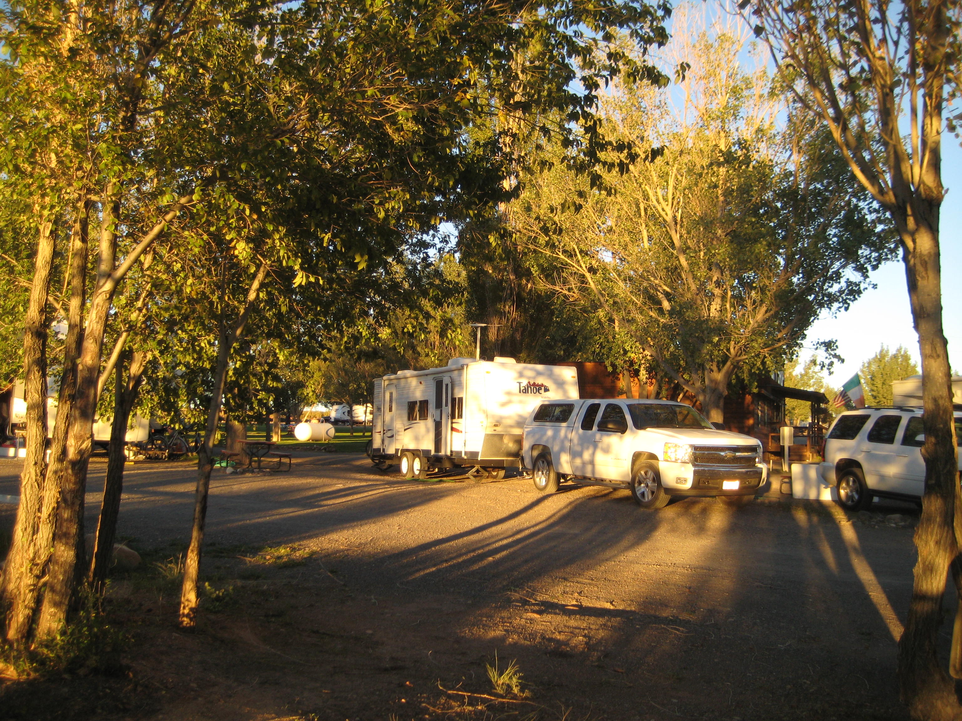
Arrived in the small town of Bluff as they were repaving the highway, so sat in traffic smelling tar until our time to follow the lead car. Cottonwood RV Park is our home for three days and we have lovely views of the rock mesas surrounding us. Elevation is around 4300 and weather is warmer than Moab. Today, Oct. 9, we are preparing for rain.

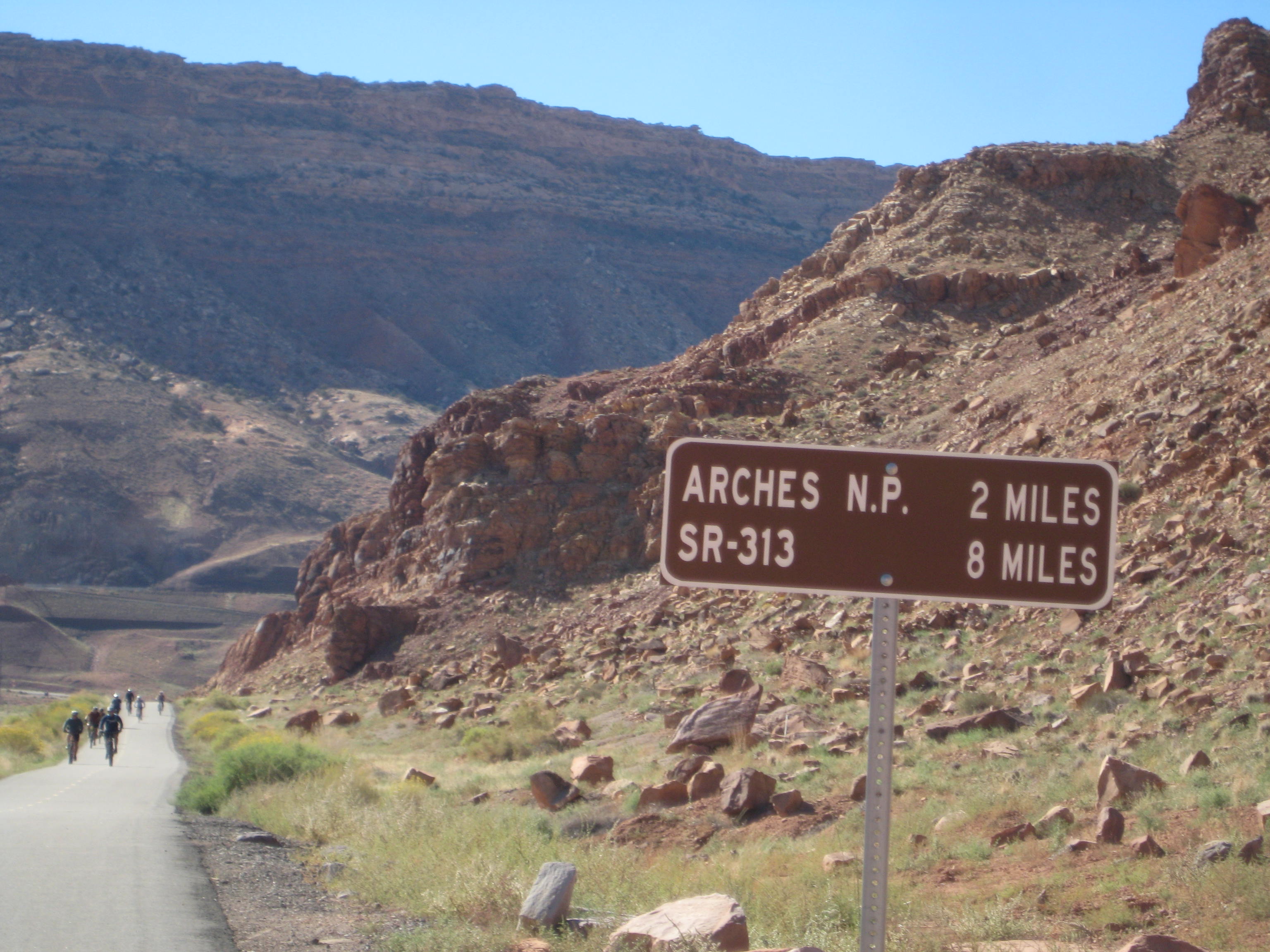
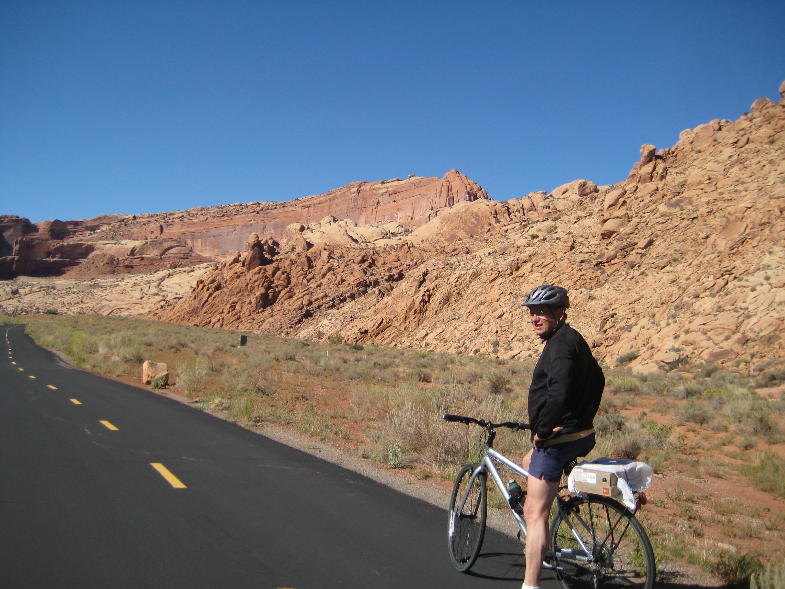
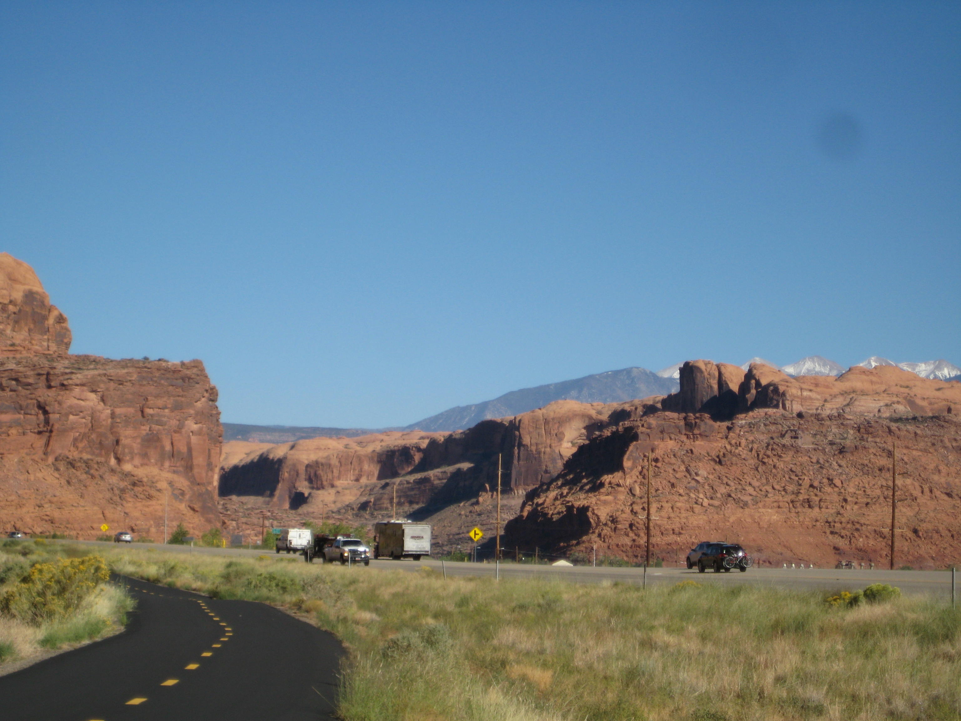
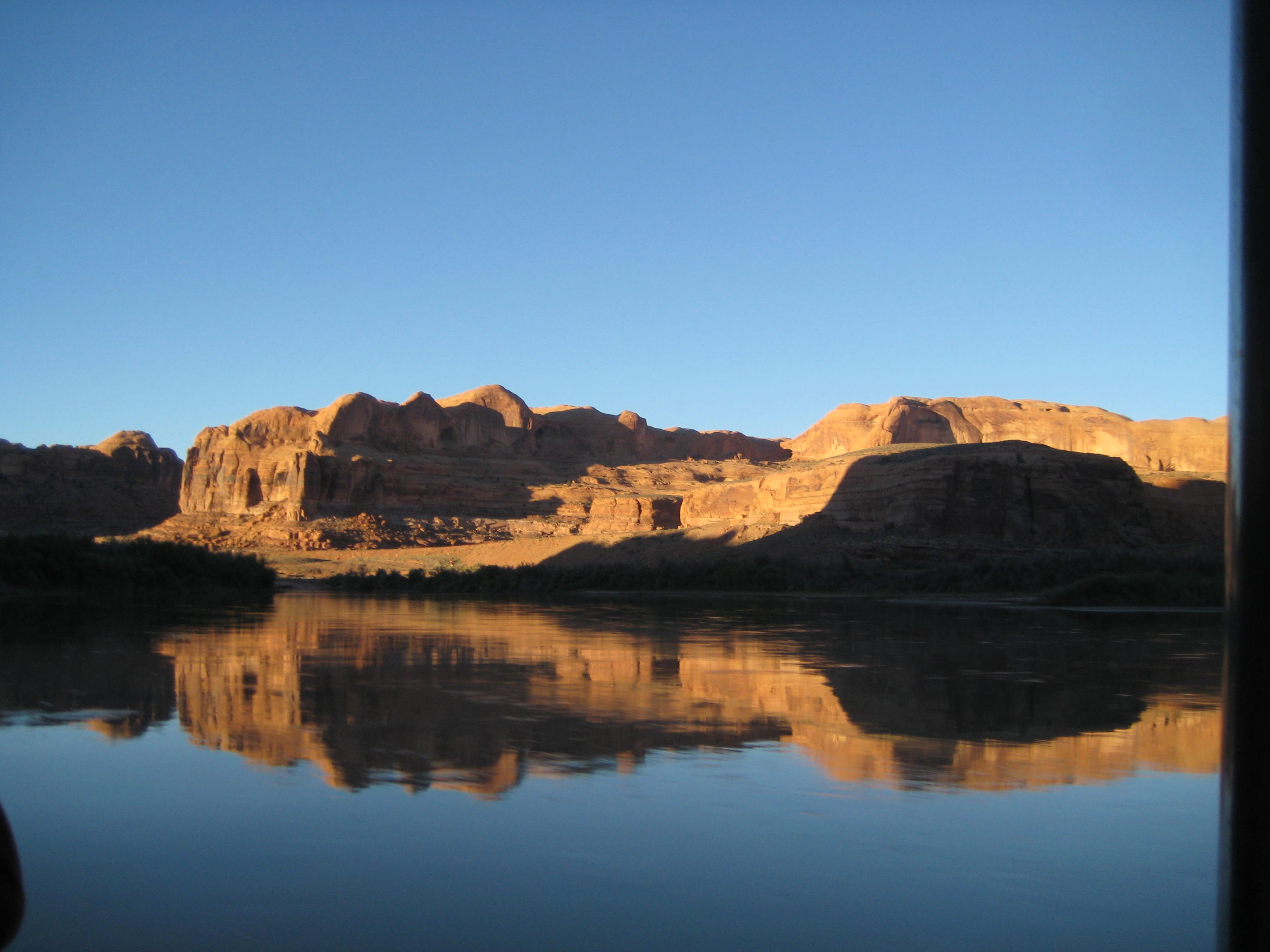
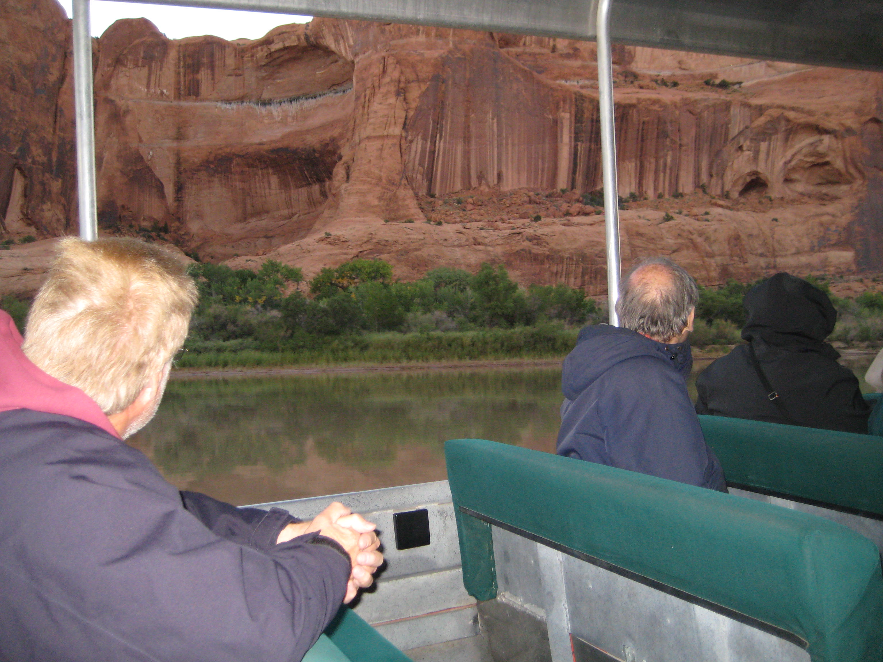
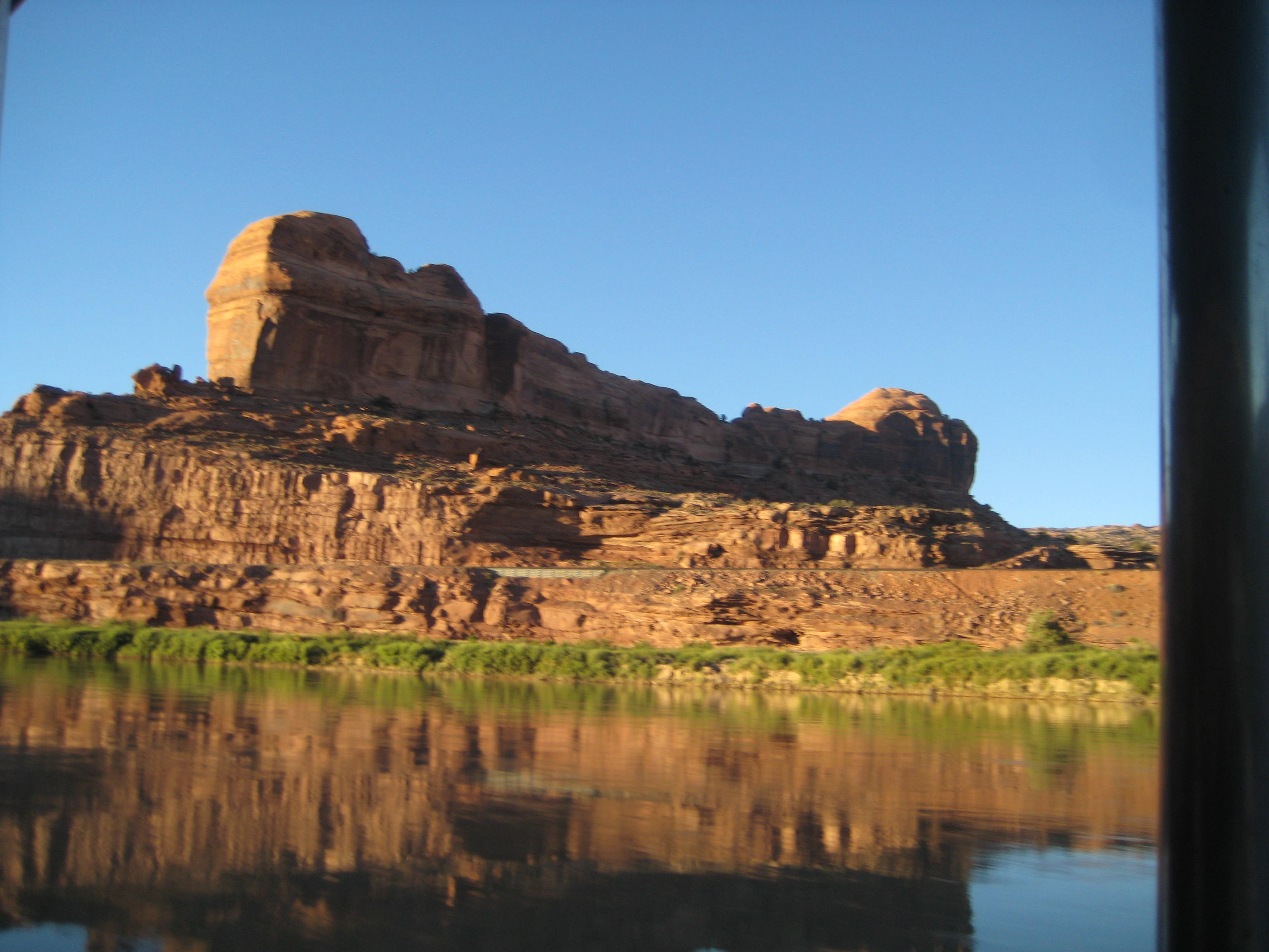
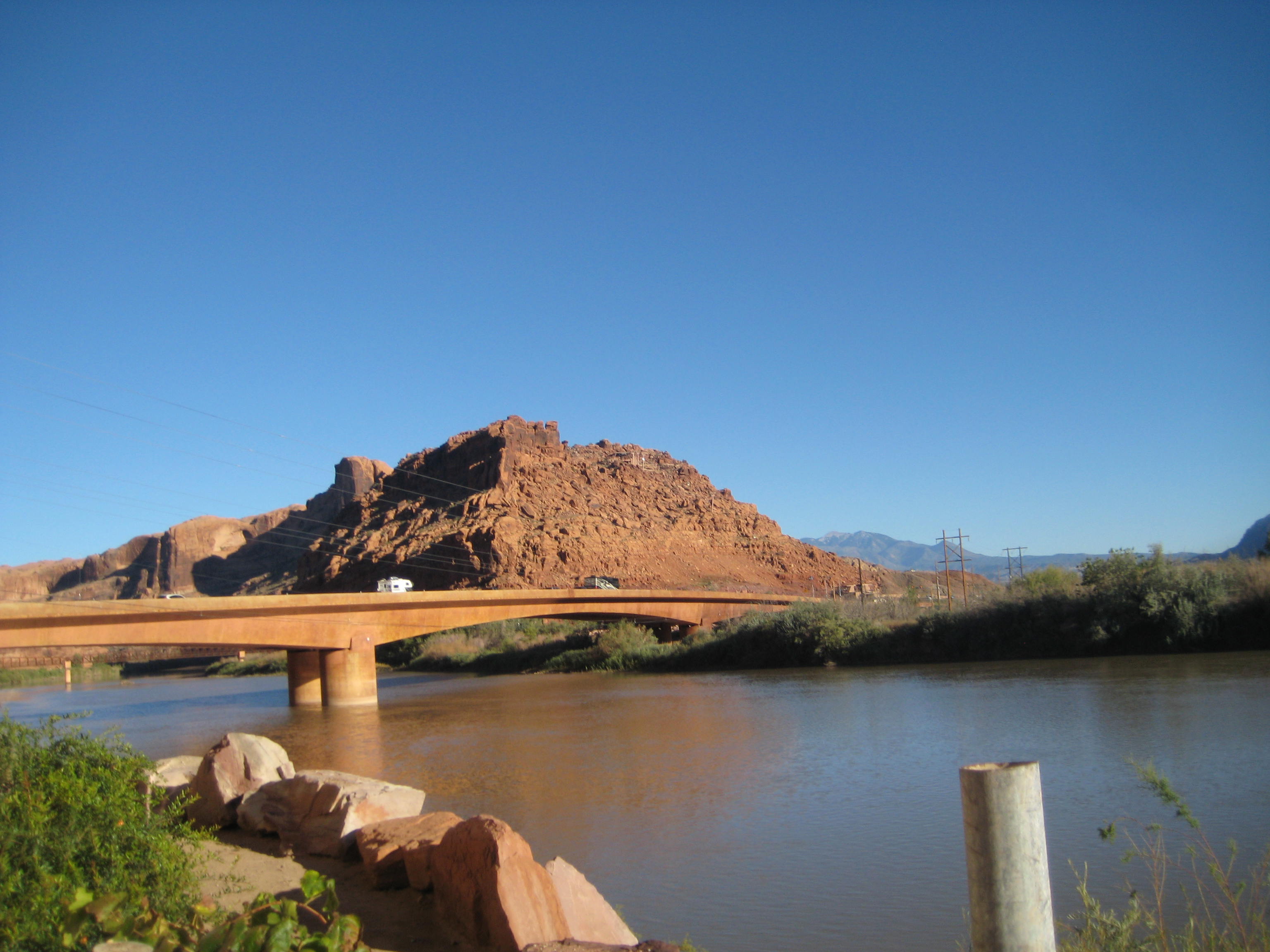
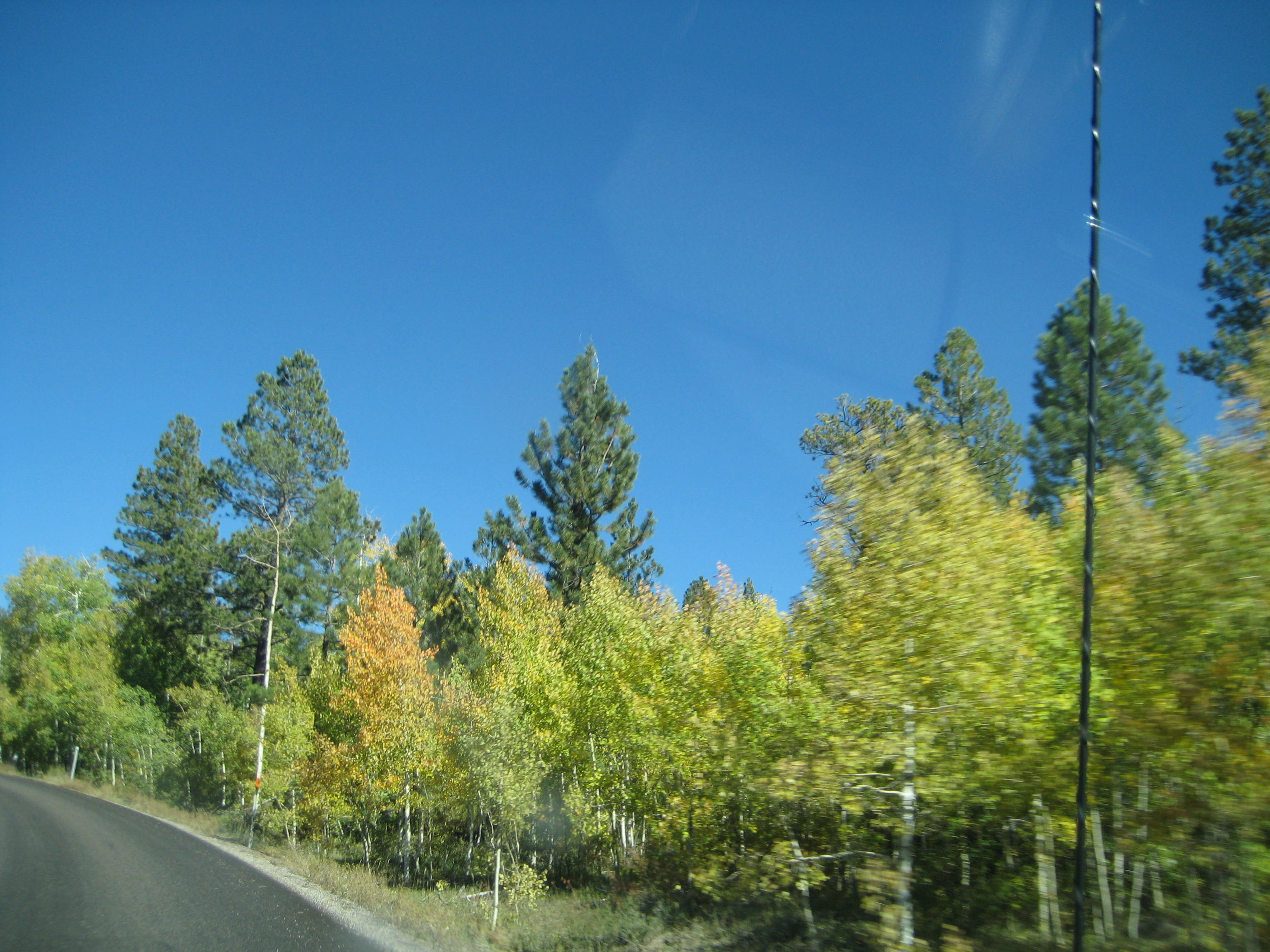
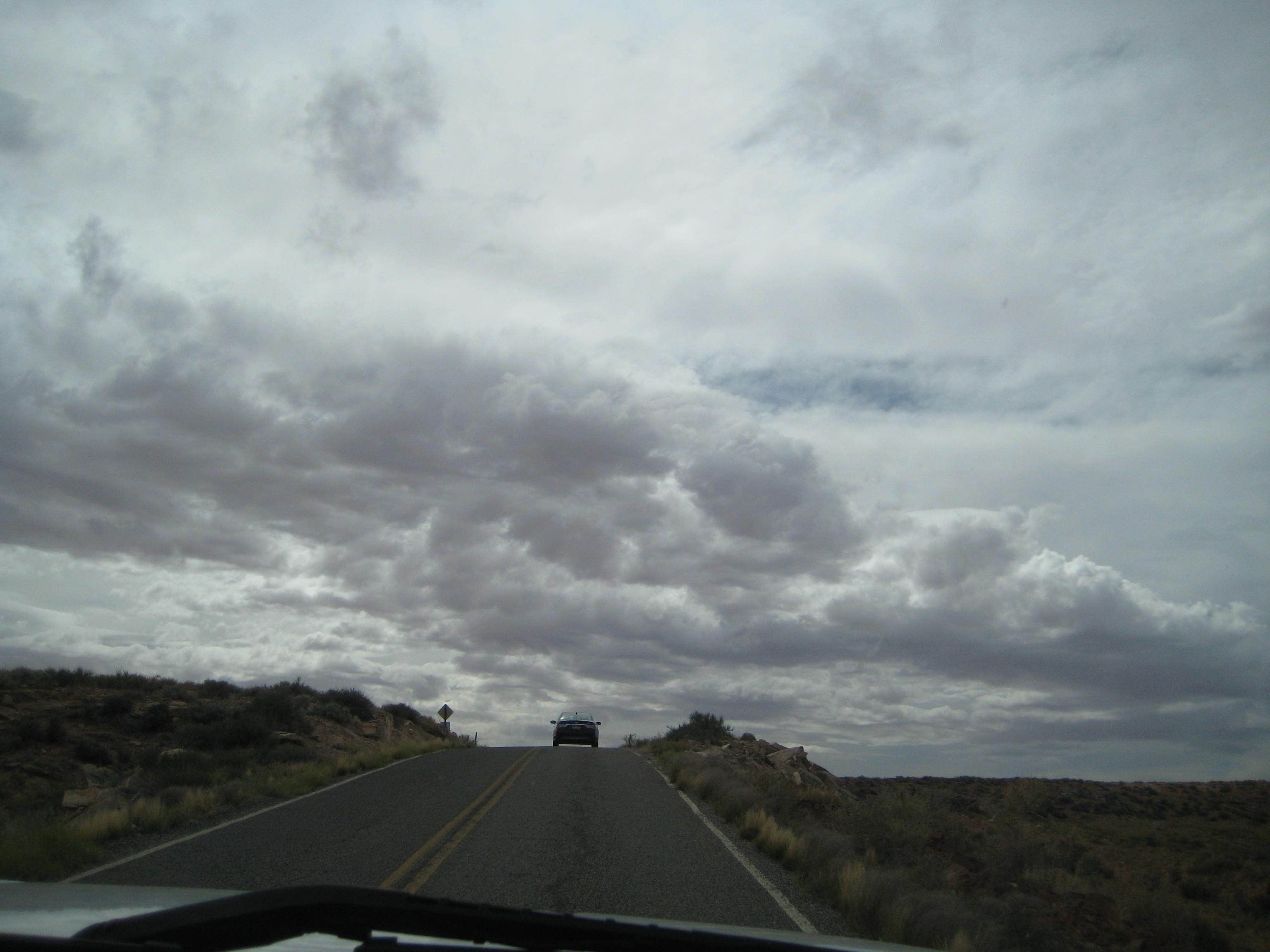
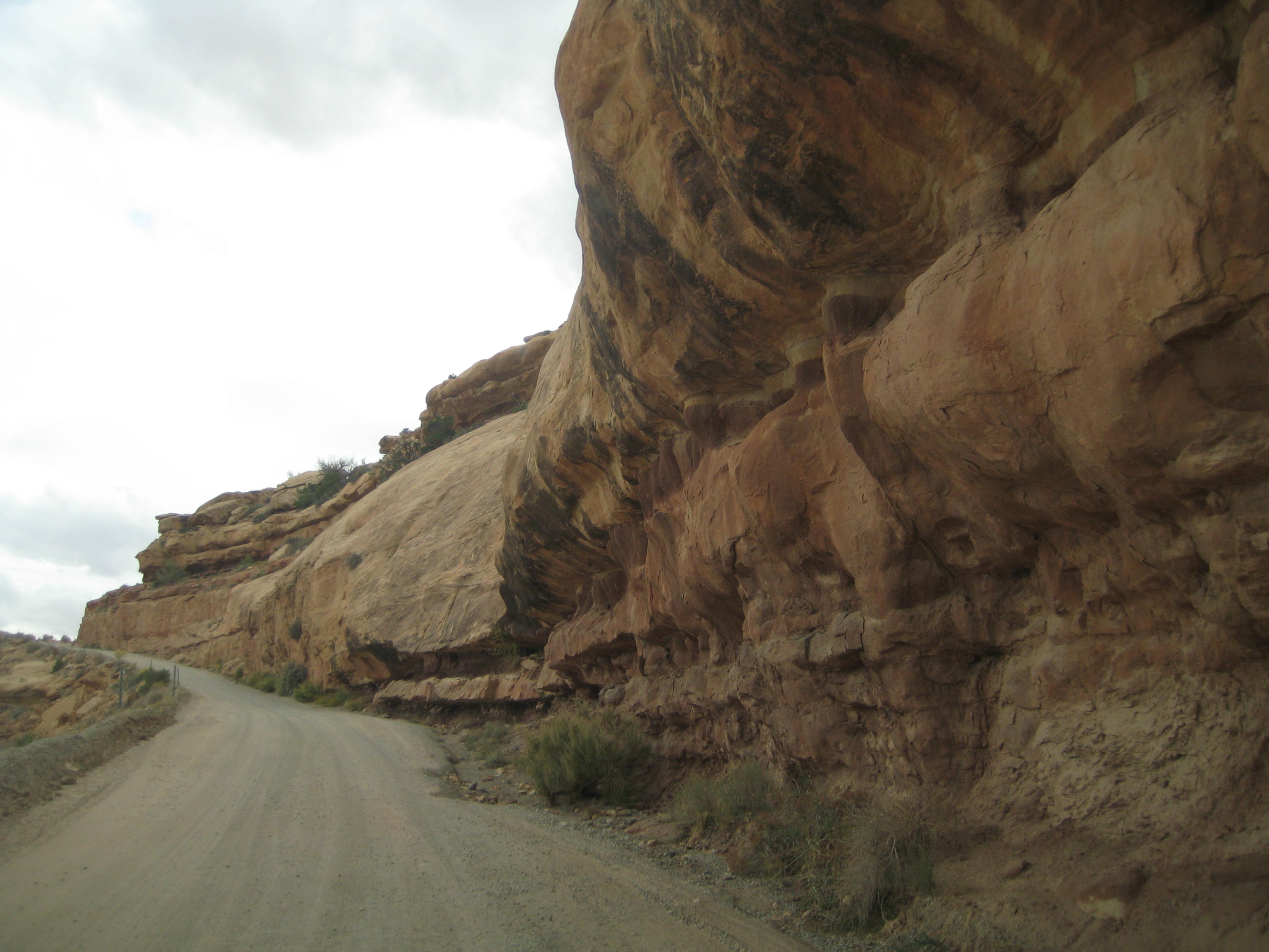
Highway Moab to Bluff
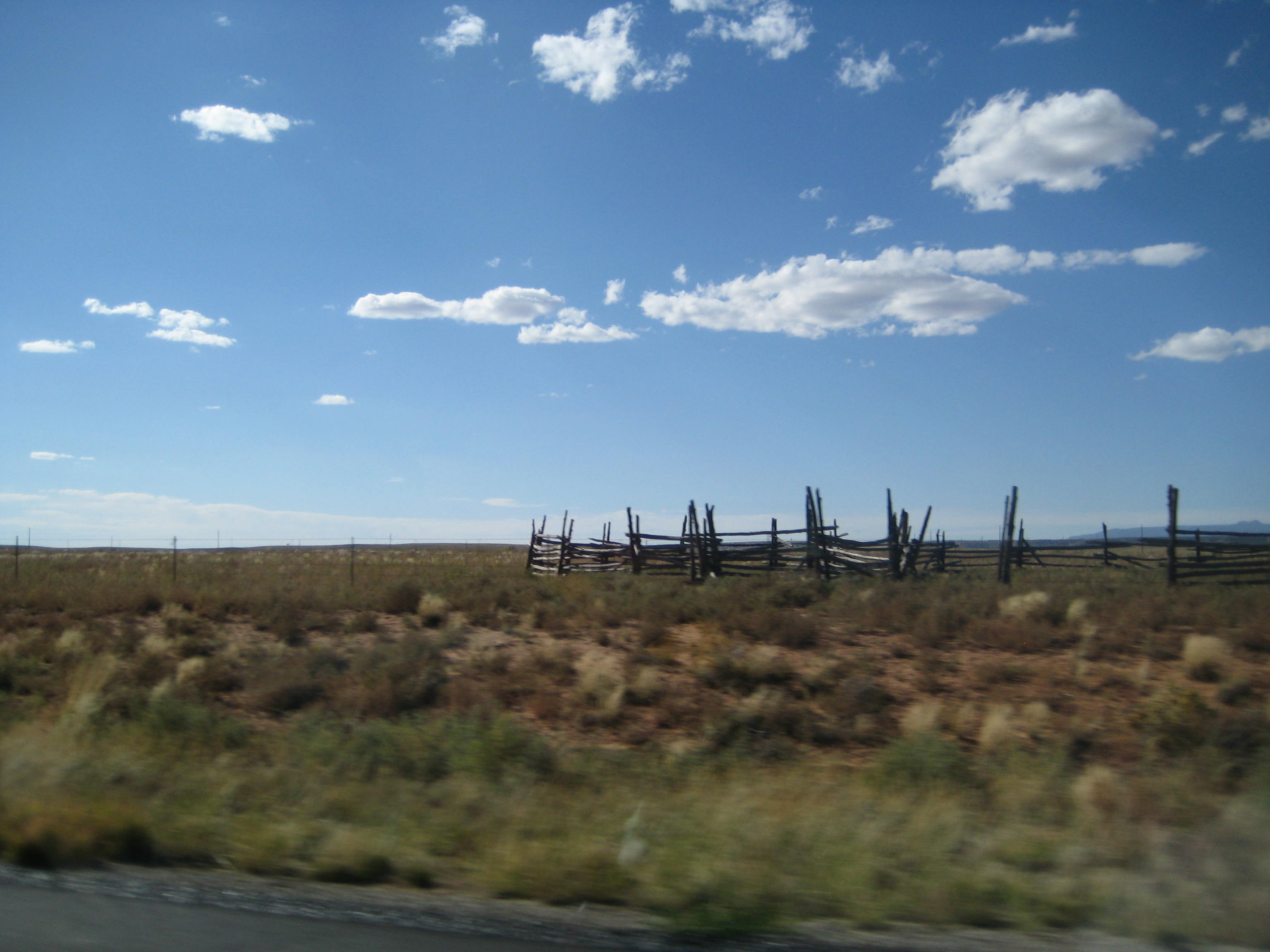
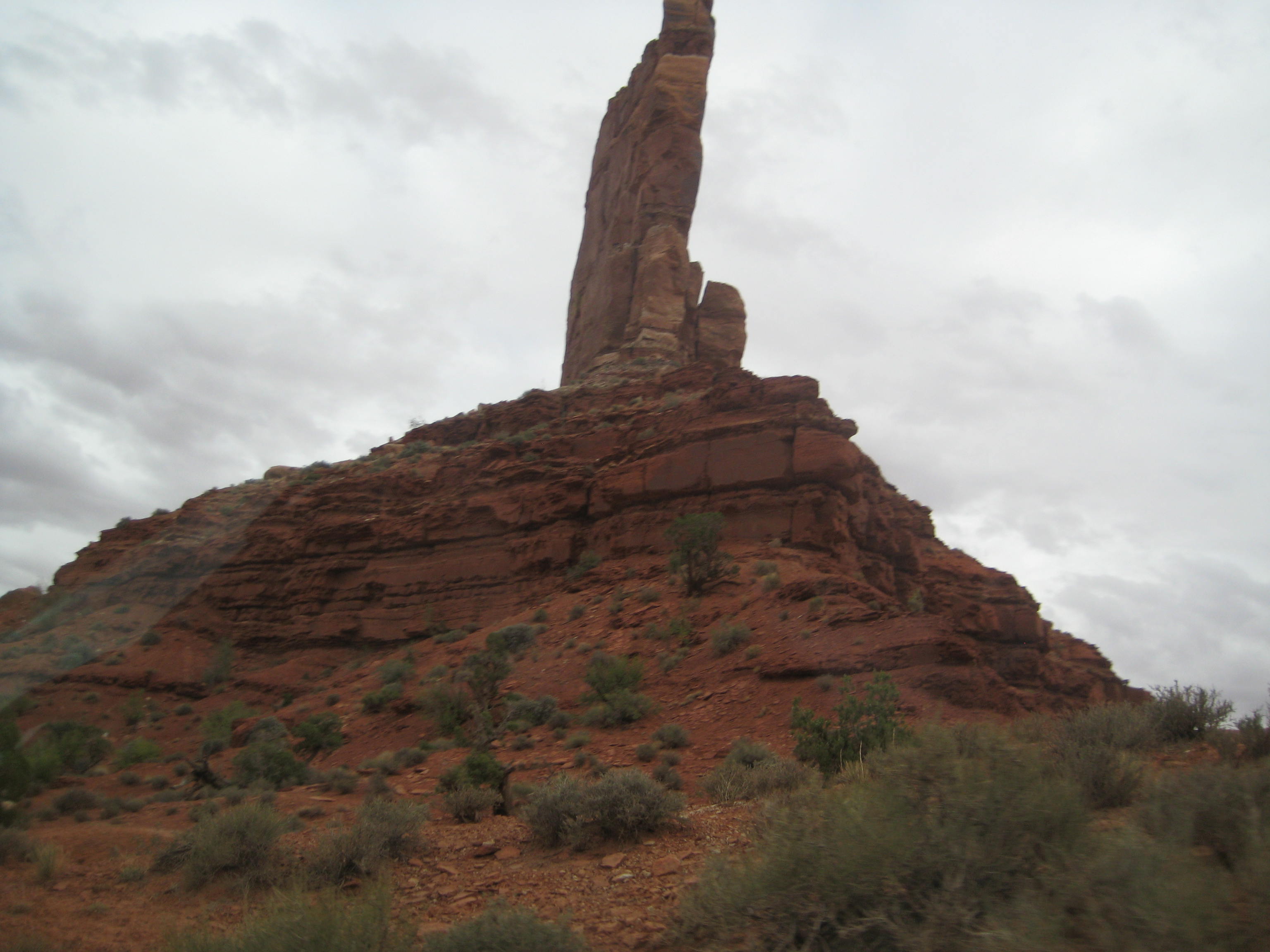
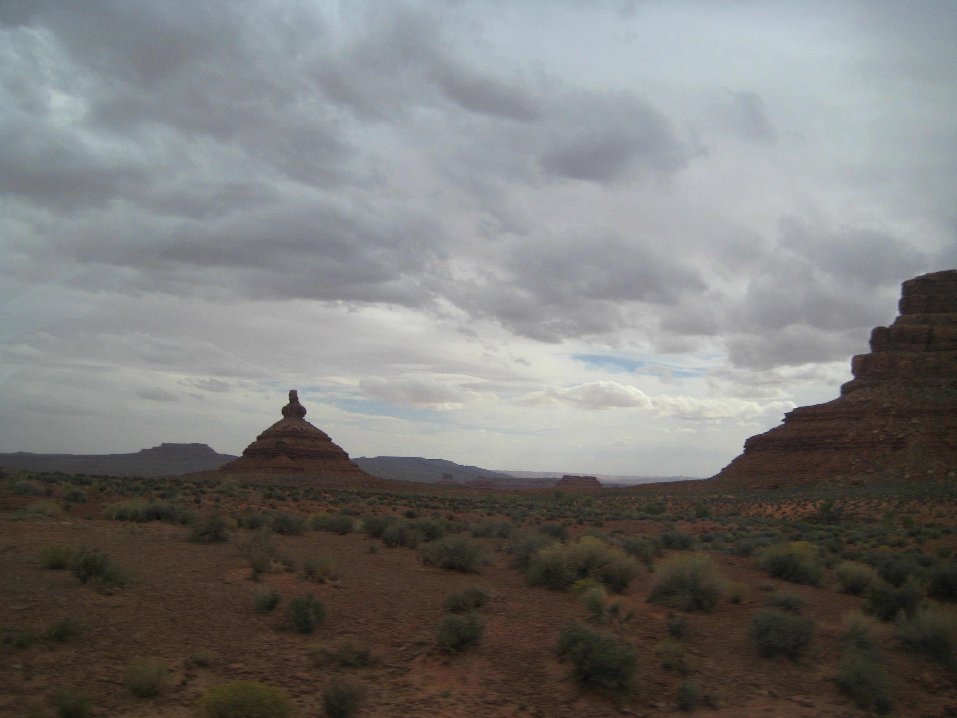
Highway scene Moab to Bluff
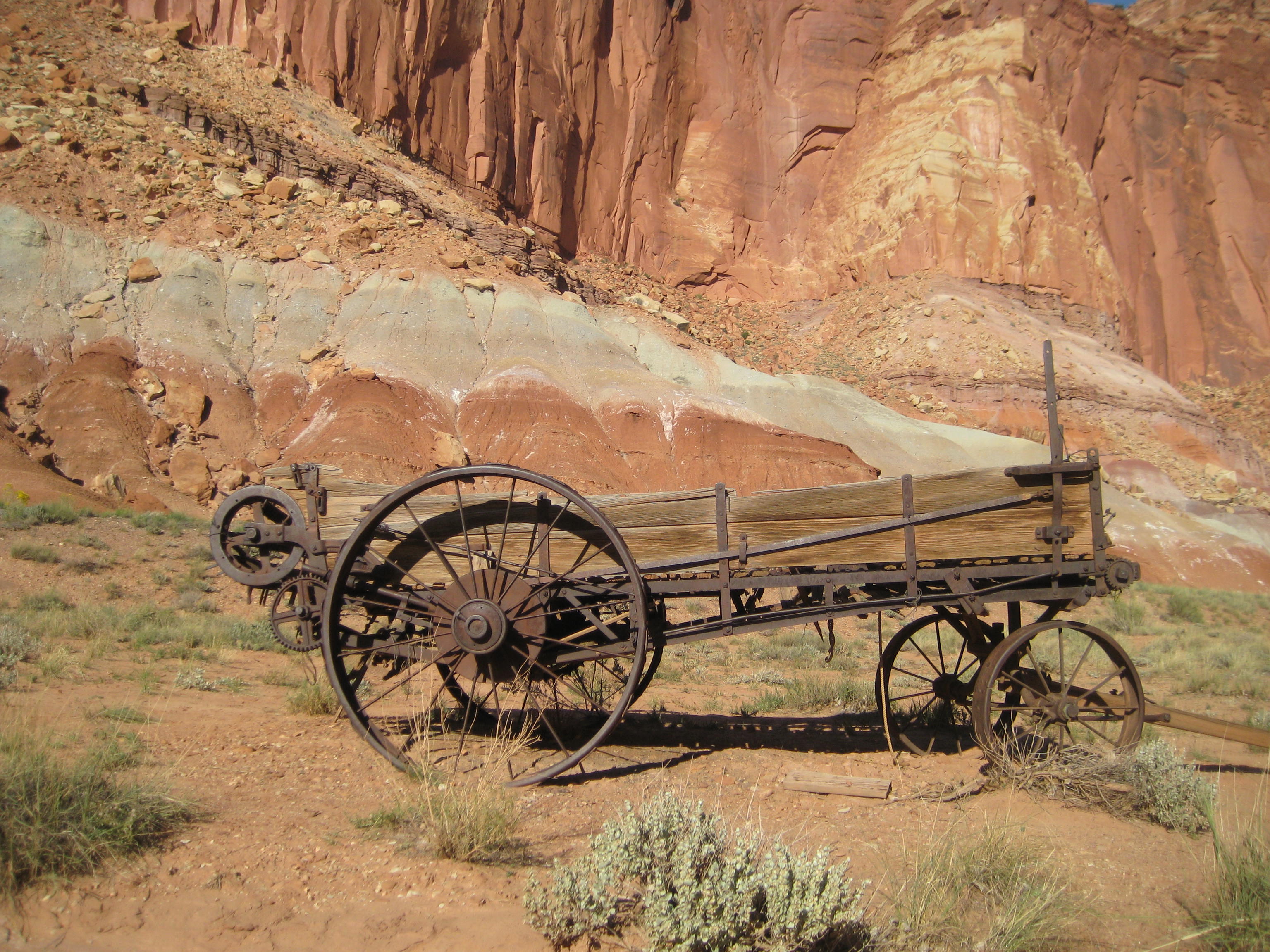
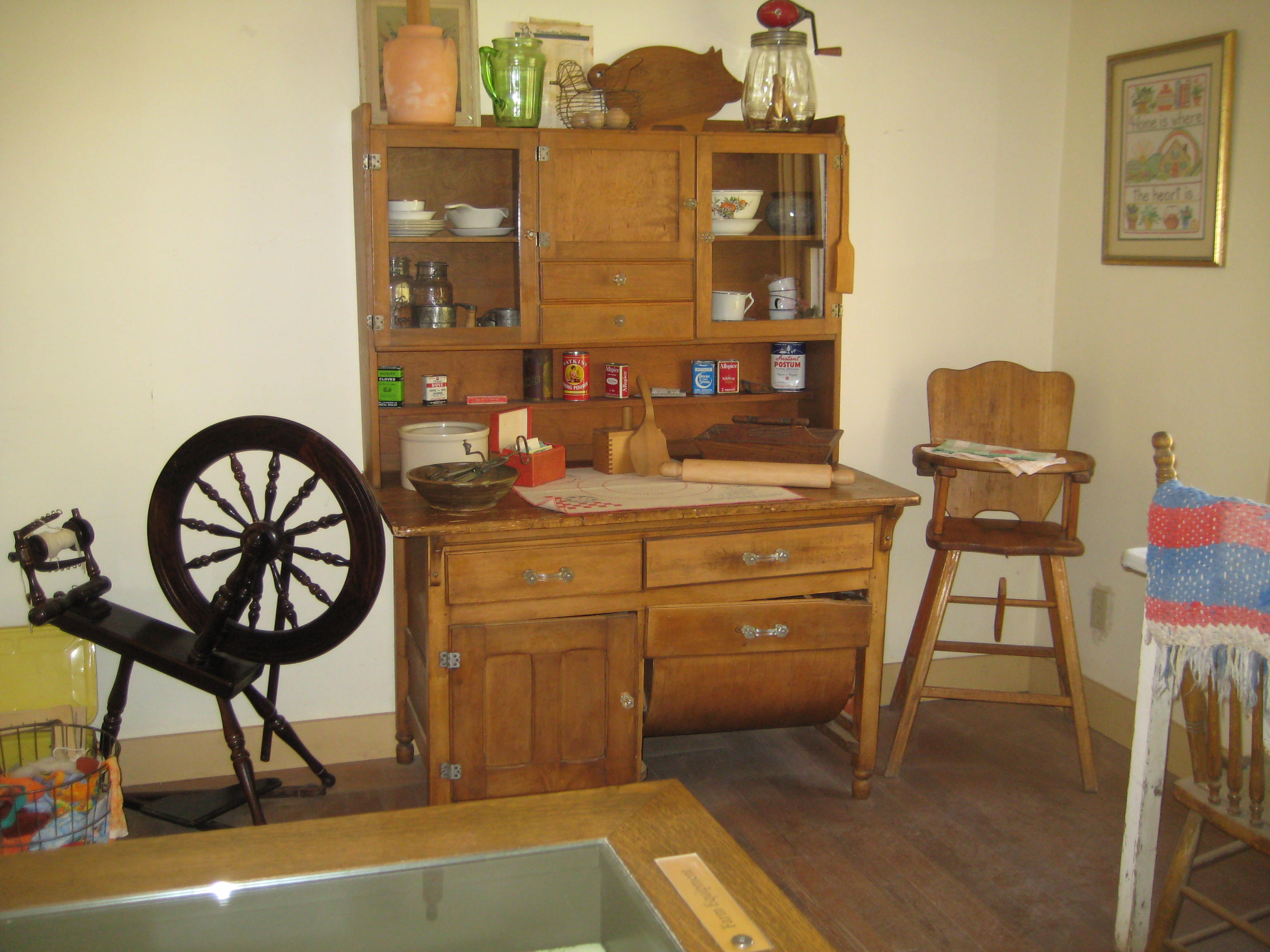
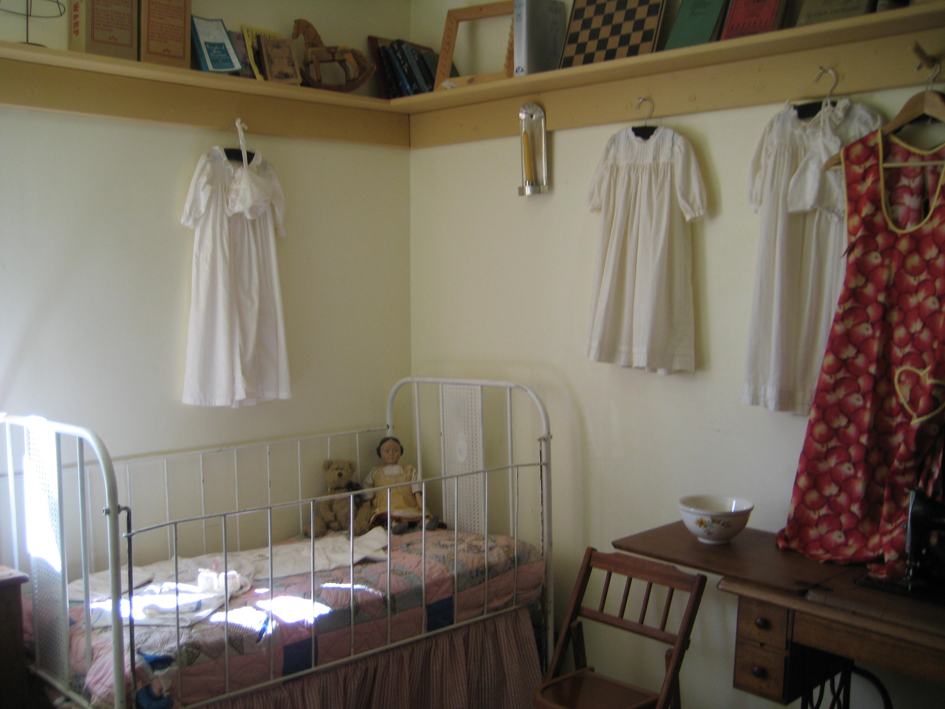
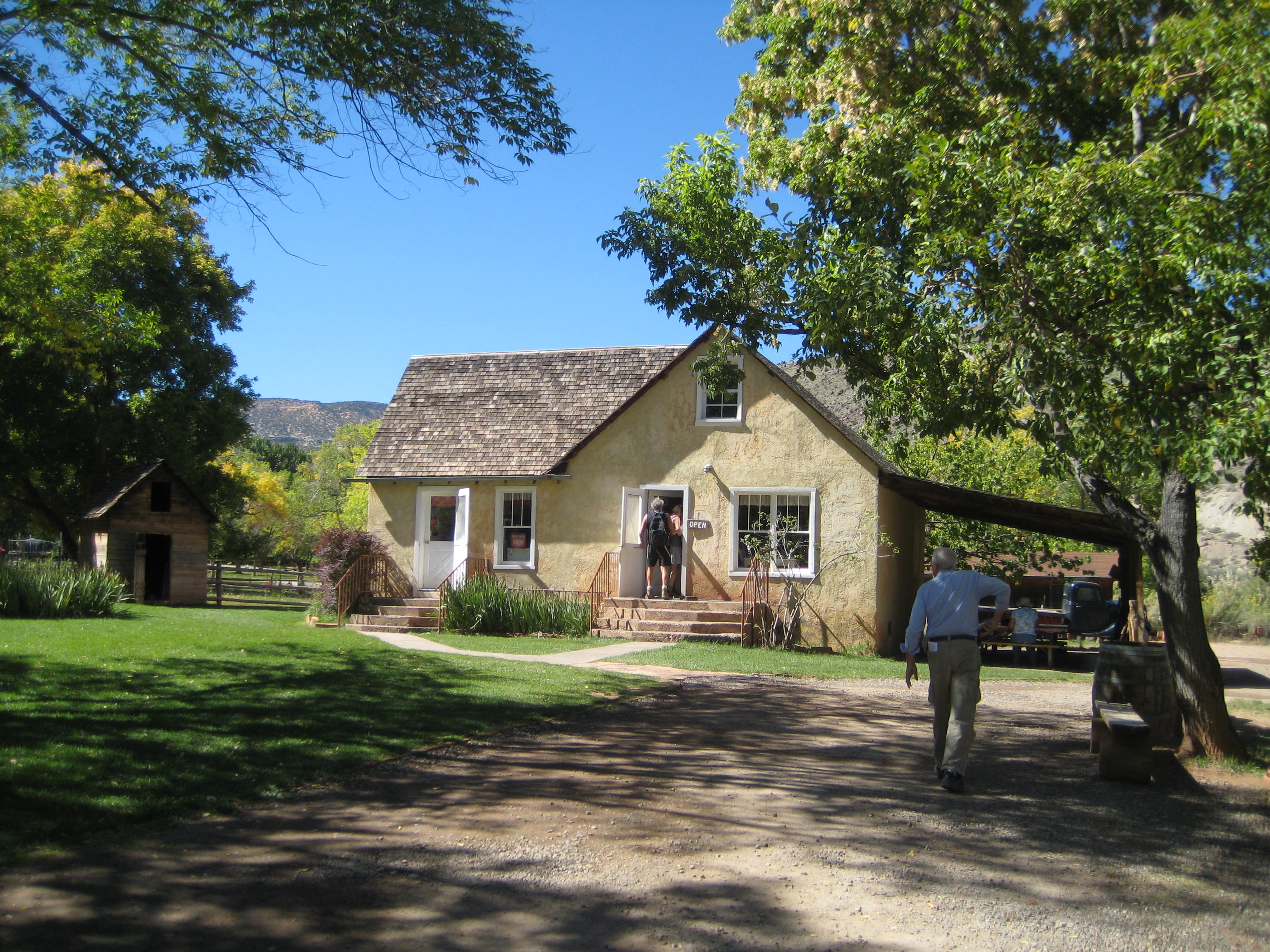
Little did we know Bluff has a replica of the original fort and pioneer cabins lived in by the first Mormon settlers that came to this area in the late 1800’s. The Bluff Fort Historic Site fills a city block or more. We spent several hours fascinated by the stories of the Mormon pioneers. You hear so much about Hole-in-the-Rock Trail; at the Bluff historic site, you can read about the families that made the first expedition and built the settlement in Bluff, see an actual wagon that made the trip down Hole-in-the-Rock, watch a video about building the Trail and the first descent. The community has built replicas of all the original cabins the settlers lived in when Bluff was settled after their treacherous journey from Escalante down Hole-in-the-Rock Trail.
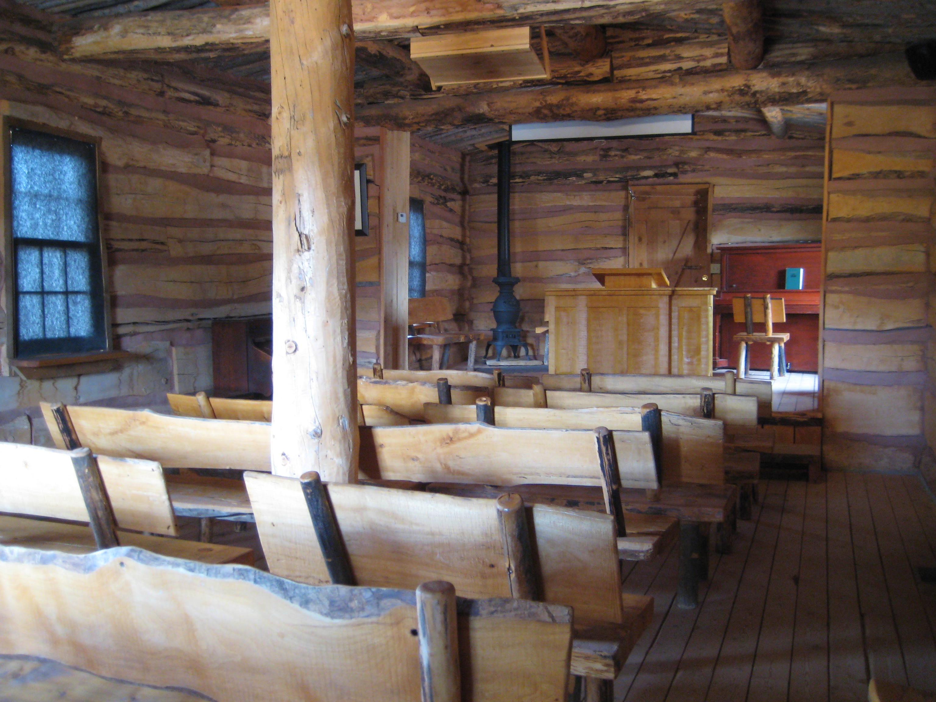
Mormon schoolhouse in Bluff
Mormon Family
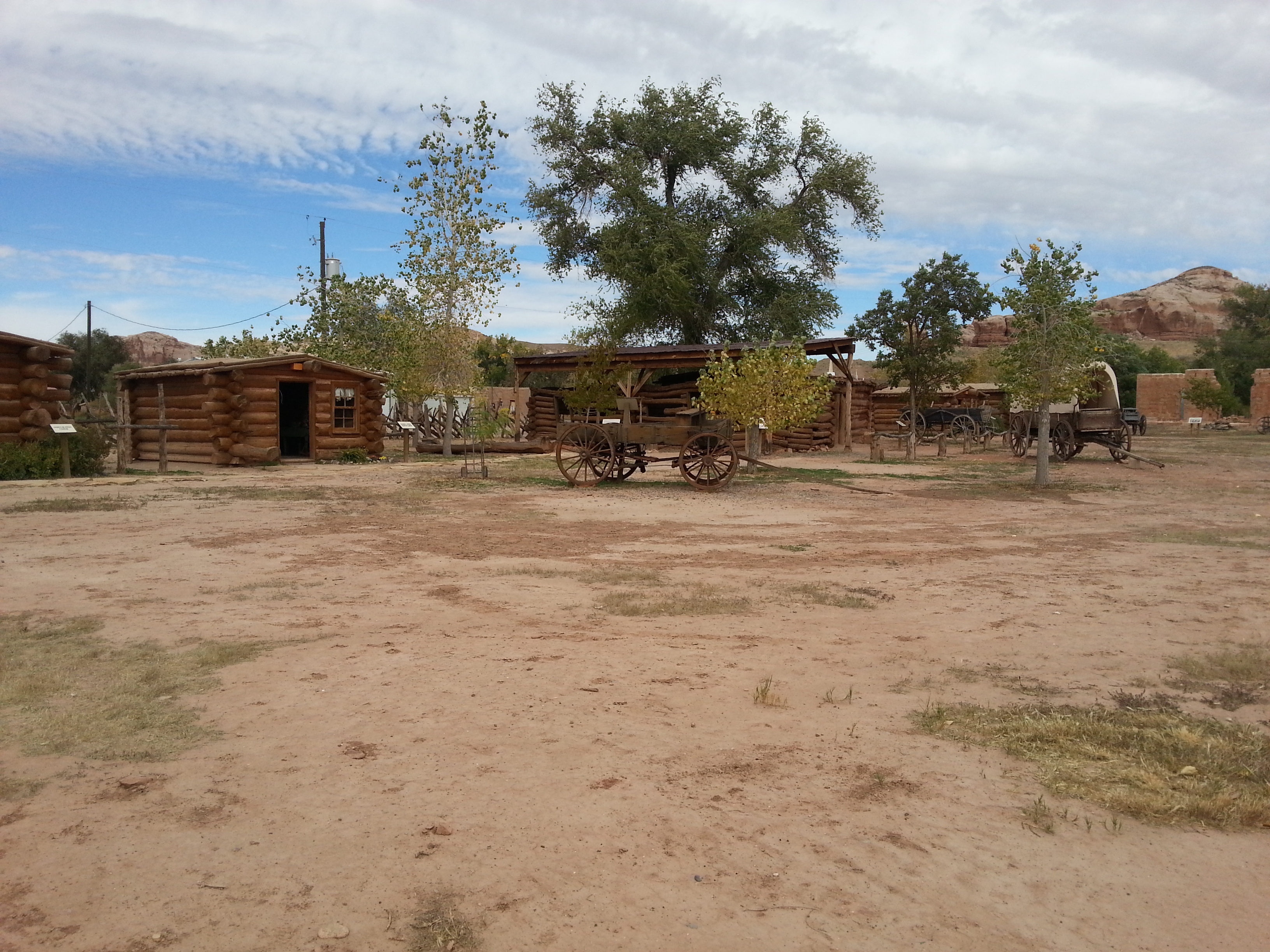
Fort at Bluff
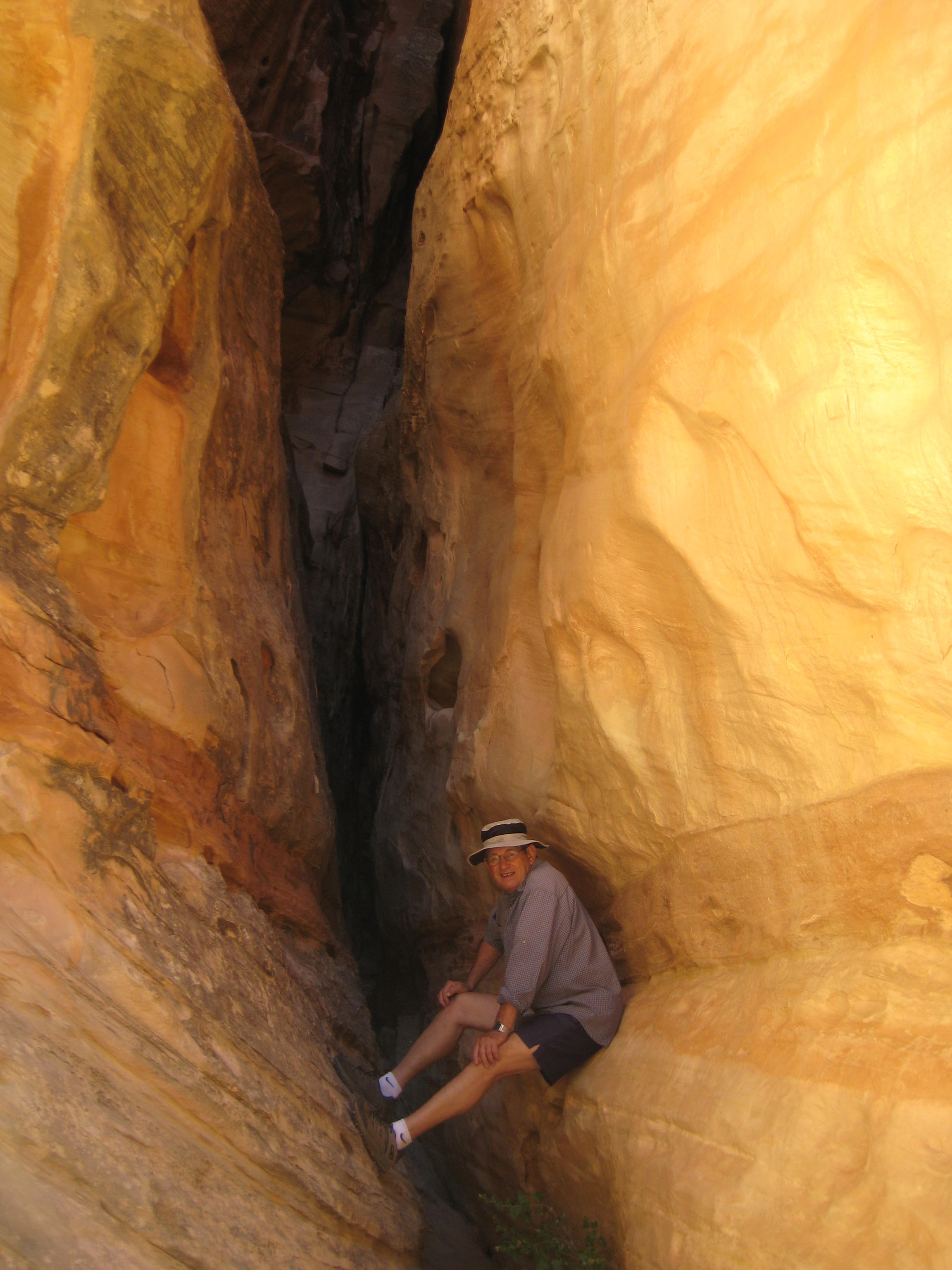
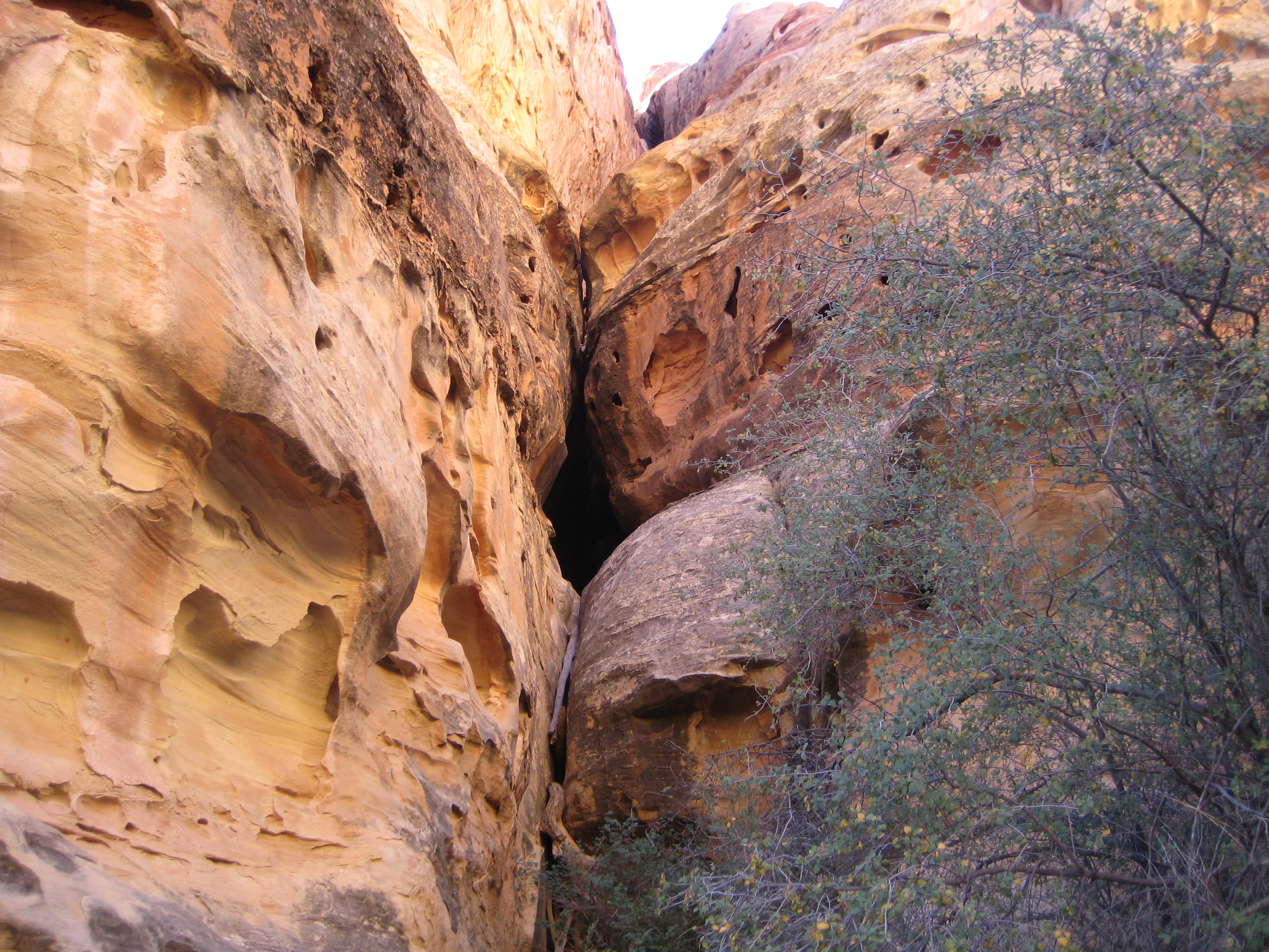
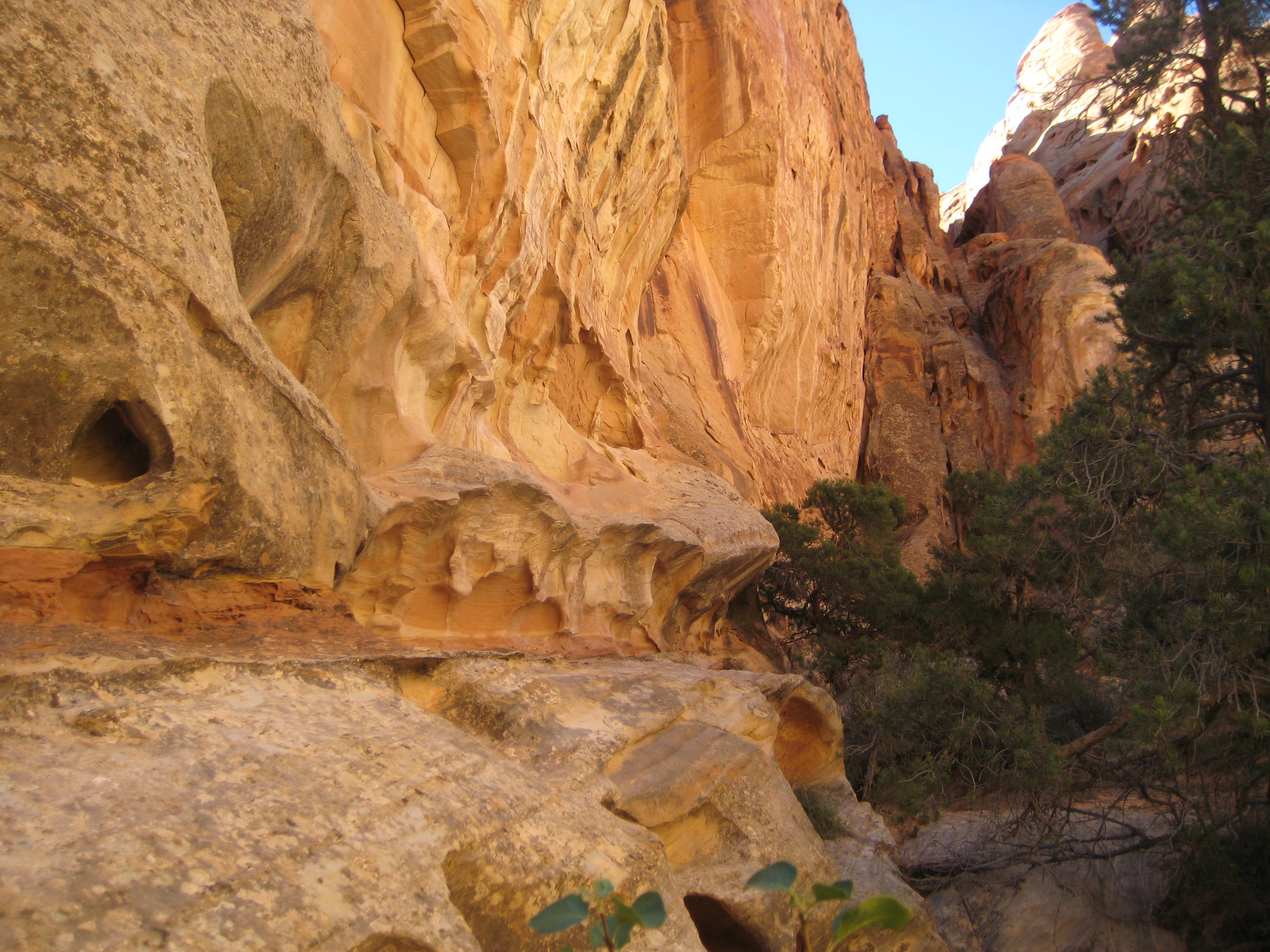
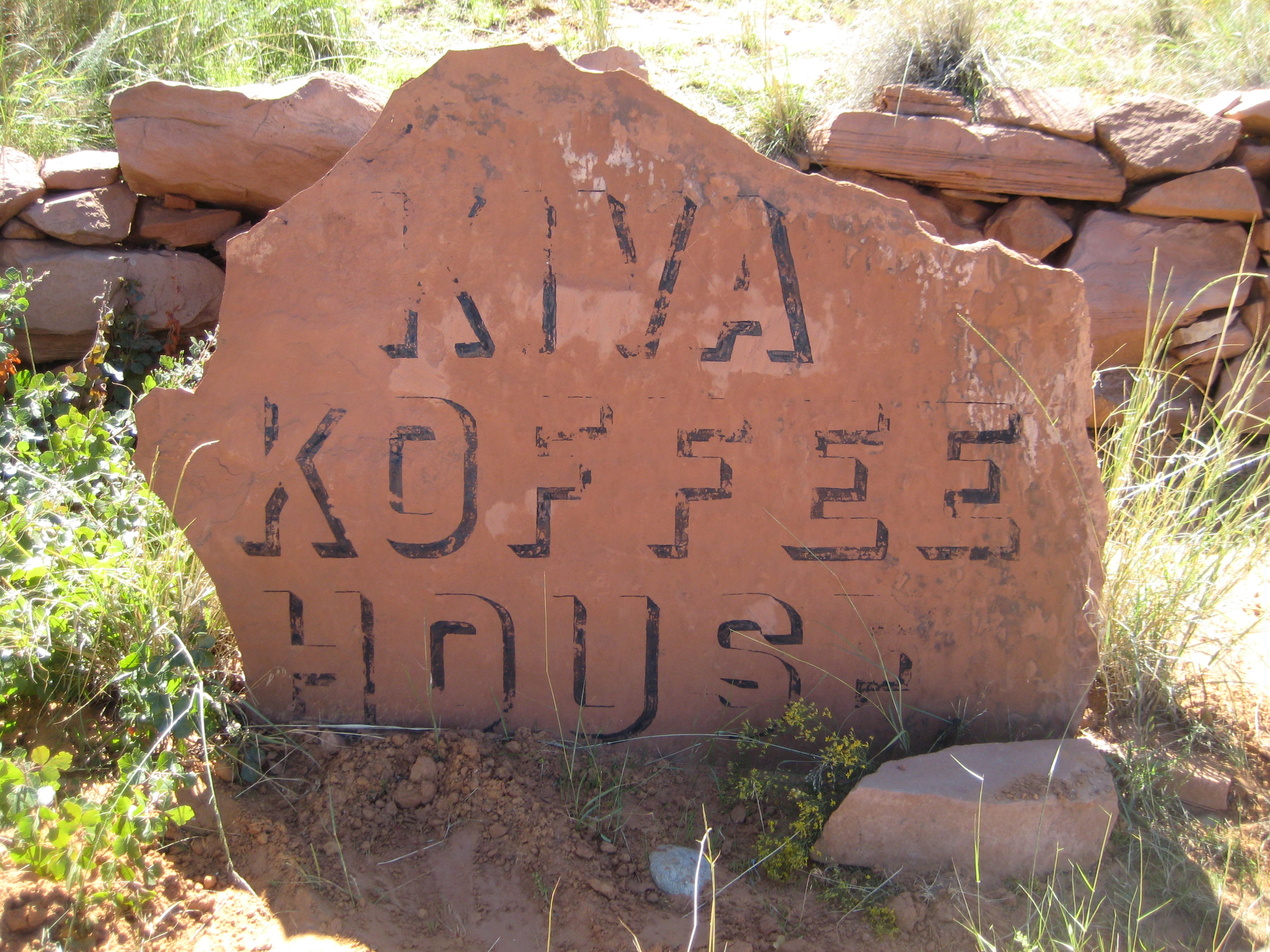
To me, Hole-in-the-Rock represents another example of the Mormon’s courage in the face of overwhelming odds, their cohesiveness and community mind set and a faith that drove them to accomplish the impossible. They chose to devise a road down a 1200-foot sandstone cliff, a narrow, steep, rocky crevice to establish a short cut to cross the Colorado River. Their pilgrimage from Escalante to what is now known as Bluff was to take 6 weeks (a 57-mile-long journey) and instead took six months. In their party were two miners from Wales that played a critical role in using blasting powder to widen the crevice. After months of working on the road, their entire party of 83 wagons, 250 Mormons and over 1000 head of livestock, made the descent in January, 1880, to the river. Wagons were heavily roped and teams of men and oxen lowered the wagons through the upper crevice, which has slopes of almost 45 degrees. Below that a wooden track was constructed along a slick rock sandstone slope that used posts in drilled holes to support horizontal beams. To see a photo of Hole-in-the-Rock is to envision what an impossible task this was. And yet, we were told, not one man, woman or child was lost, nor livestock, and in fact, two children were born on the historic journey. And the descent was made in the middle of winter. Tell me how this could be possible.
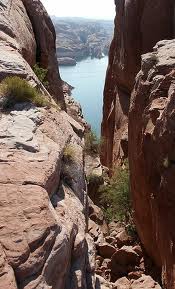
Hole-in-the-Rock
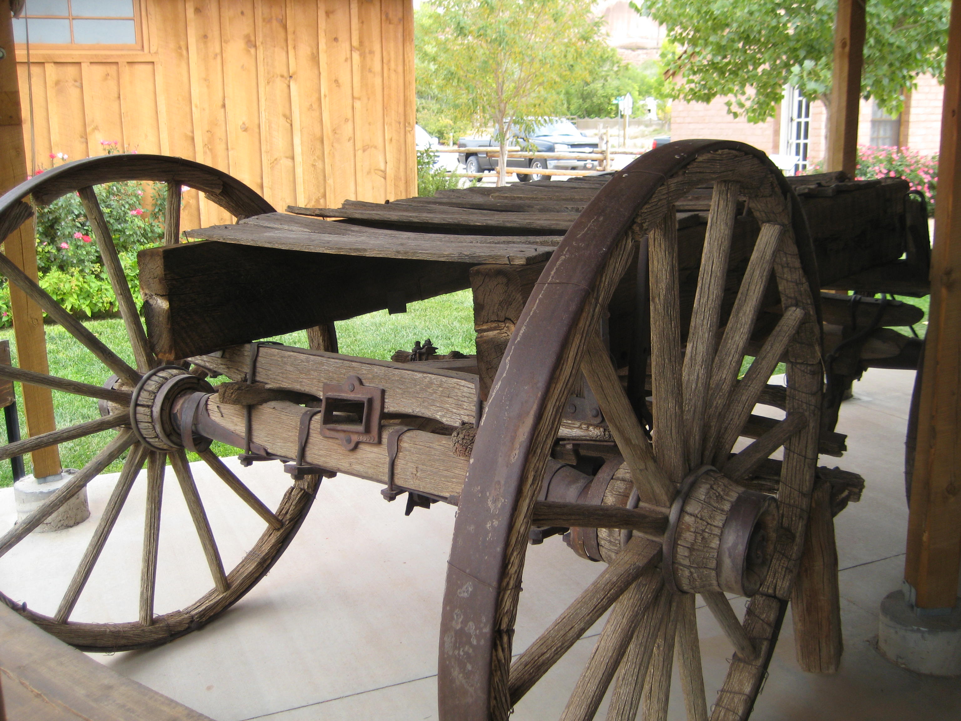
1800’s Wagon that made trip down Hole-in-the-Rock
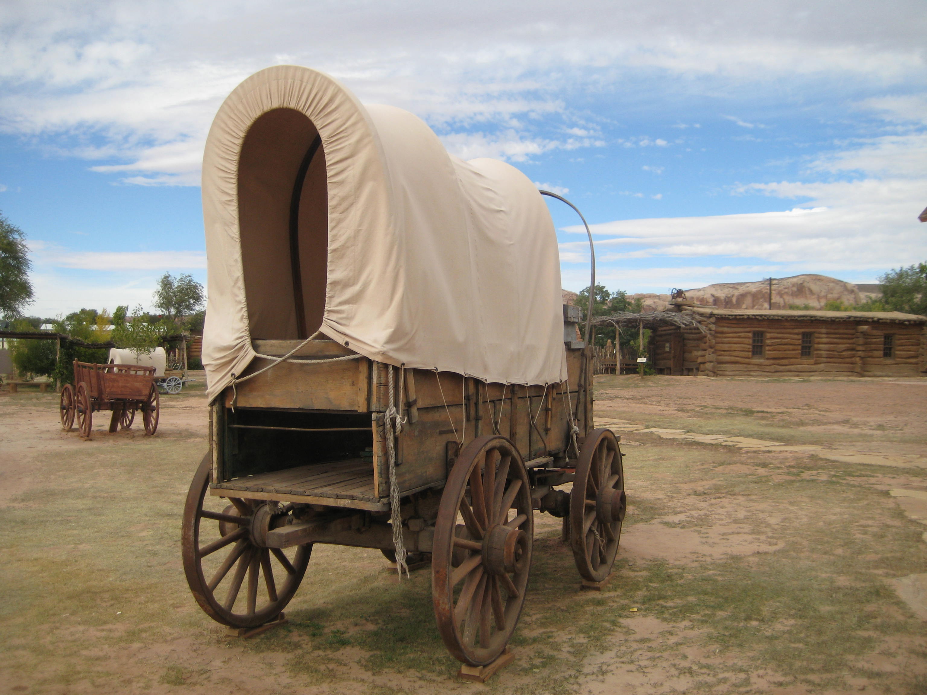
Pioneer Wagon
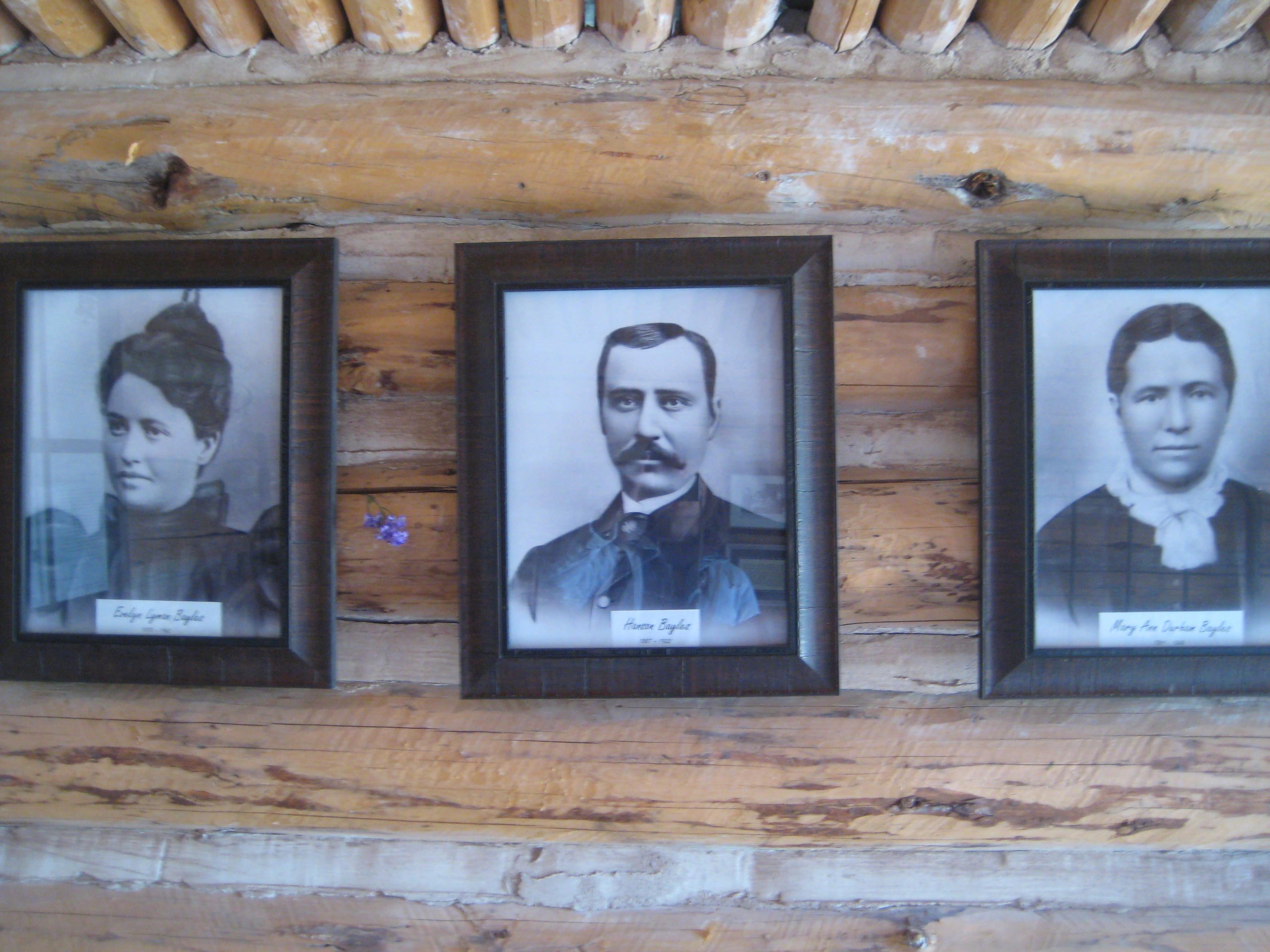
Jensen Nielson was one of the Mormons to make the expedition from Escalante to Bluff and became the leader of the Cedar City group. Jens, as he was known, had lost the use of his feet in another expedition where he succumbed to frostbite. The story goes that his wife, Elsie, loaded Nielson, feet frozen, into her handcart and pulled him to the next camp, saving him, though he became permanently crippled. Jens and Elsie buried their only son on this expedition, 12-year-old Jens who succumbed to snow, cold, starvation and exhaustion, as well as did the other four men traveling with them. On the 1880 expedition from Escalante to Bluff, It was Jens Nielson that made the decision to go forward at the crevice known as Hole-in-the-Rock. Jens Nielson served as ward bishop for over two decades and the first bishop of Bluff.
From a diary written by Josephine Catherine Catterly Wood about the journey from Escalante to Bluff :
All is well in health, but the life is frightened out of us. I don’t know what this place is called, but I call it the Devils Twist, and that’s a Sunday name for it. I cannot imagine any worse than they are here. Aunt Mamie says, ‘My, but this is good schooling, and good for the liver.’ We are nearly jolted to pieces. There is no use for me to try and describe it. This is the most God-forsaken and wild country I have ever seen, read or heard about. We hardly get started when they have to double horses on the wagons, the sand is so deep in places and in other places nothing but rocks. Up hill and down hill, steep and slick, the poor animals. I never saw horses pull, paw, fall down, and get up as they have today. We do not stop for dinner, and the horses haven’t had any water, they are almost given out.
The women and children have had a good deal of walking and pushing to do so far on this trip. The wind is blowing so bad we cannot see far ahead for the sand, and if we open our mouths, they will be filled. The men take one wagon a little way, then unhitch and come back for another all day, so we have traveled only a few miles today. No water again tonight, although the children are crying for it and it is very cold. The men went hunting for water and found a little, and the children are relieved. They fell asleep without supper and we cannot do dishes again tonight.
Traveled over rocks no human being should ever try to go over, but we kept going, until we reached the dreaded Colorado River. I can’t describe how we ever got down, and I hope you won’t ever come to see. Men were there with a raft. They had two boats fastened to either side, and they would row the wagons across. It is a wonder our wagons are not broken to pieces, for today is even worse. We have to go down a rocky place; it is steep and slick, the men hang on the back of the wagons to keep them from rolling on the horses or from tipping back over the front. They have to wait until one wagon is out of the way before another starts, because there is no place at the bottom to stop; just down and up; almost a ‘V’ shape. The horses have to rest so often going up this hill, and as soon as they do, the wagons start rolling back, so we have to block the wheels by putting rocks back of them. This is dangerous, we were afraid of being crushed. We have been walking most of the way for two days.
The same Jody that wrote the journal entry above became the midwife for Bluff. Between 1886 and 1908, Jody delivered 165 babies (recorded) and it is said she might have delivered twice that number. Aunt Jody, as she was known, was called and blessed by Bishop Jens Nielson to administer to the health of the people. With very little medicine available, Jody learned from the Indians which herbs were useful and how to apply them. The Indian people would also come to Jody for help. Jody was an excellent midwife and often stayed with mother and baby for a week or more to help, even though she had her own family and children to care for.

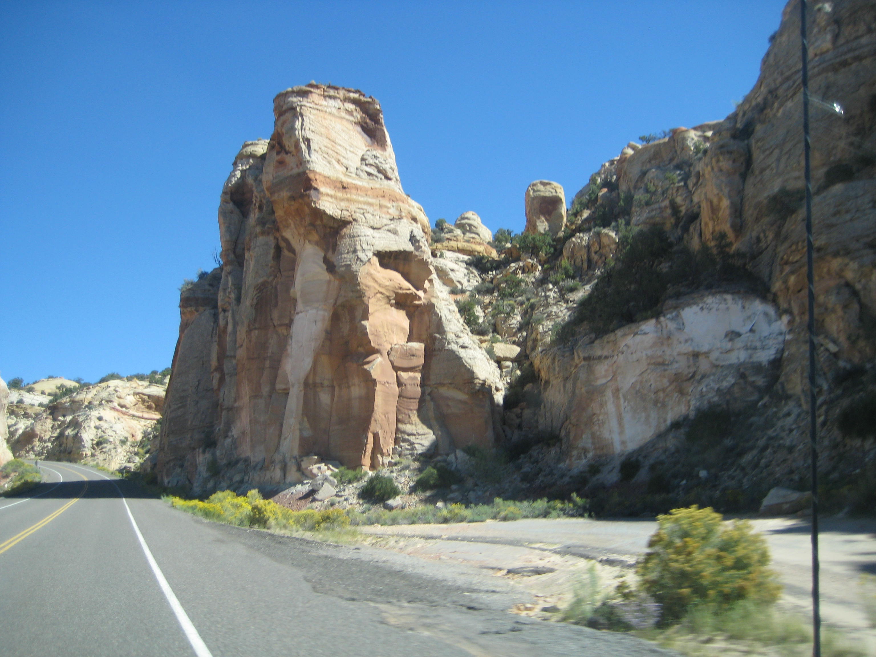
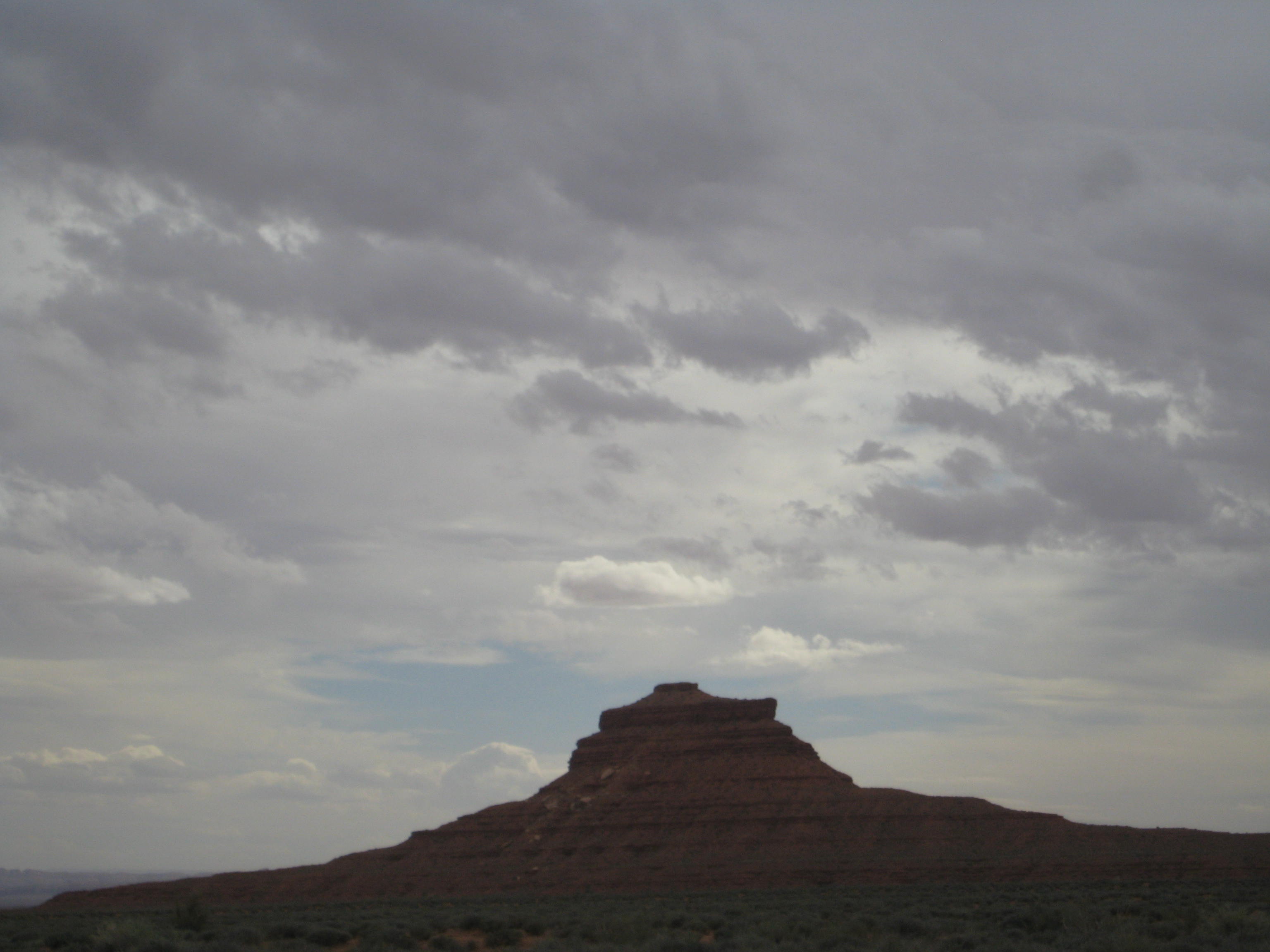
Highway from Bluff to Goosenecks State Park
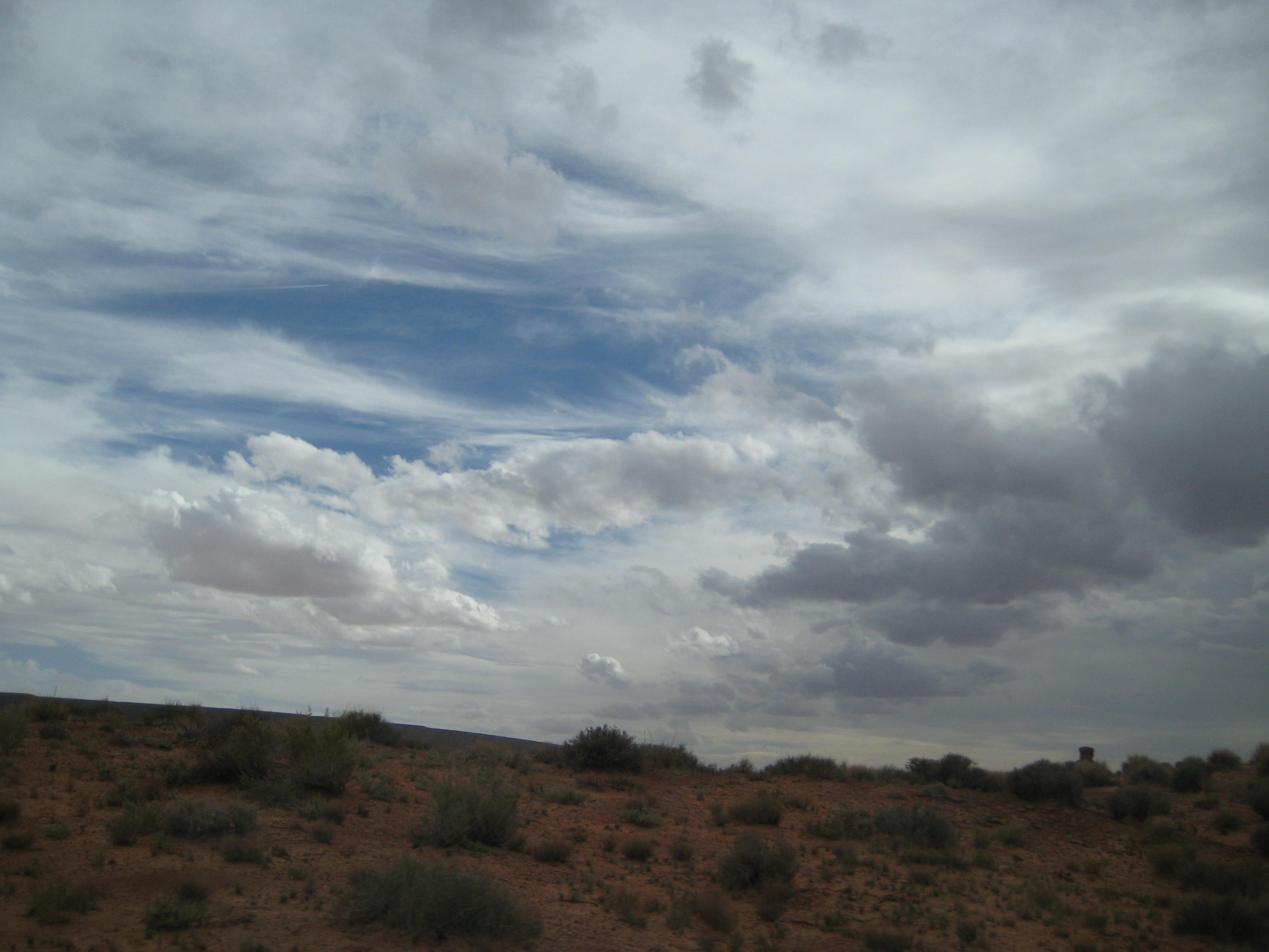
Clouds threaten rain
From Bluff, we took a road trip to Goosenecks State Park. A thousand feet below the overlook, you see the San Juan River twist and turn through an entrenched river meander. You can view the sides of the steep canyons in patterns that reflect over 300 million years of geologic activity. Goosenecks is a nine-mile drive off the main highway but well worth seeing. It takes your breath away, like a scene from another planet.
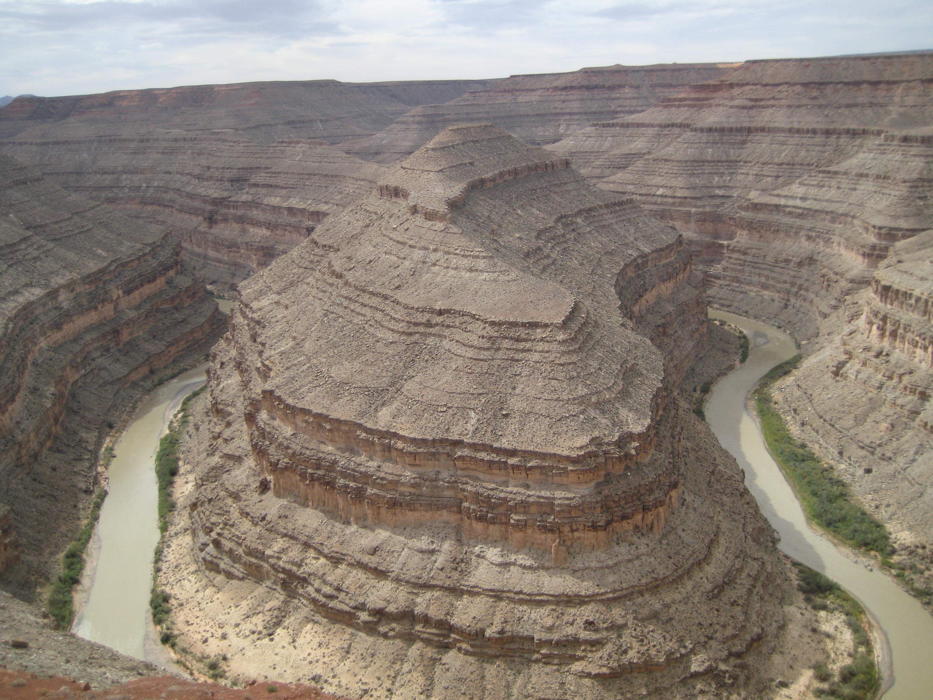
Sinuous goosenecks in the river
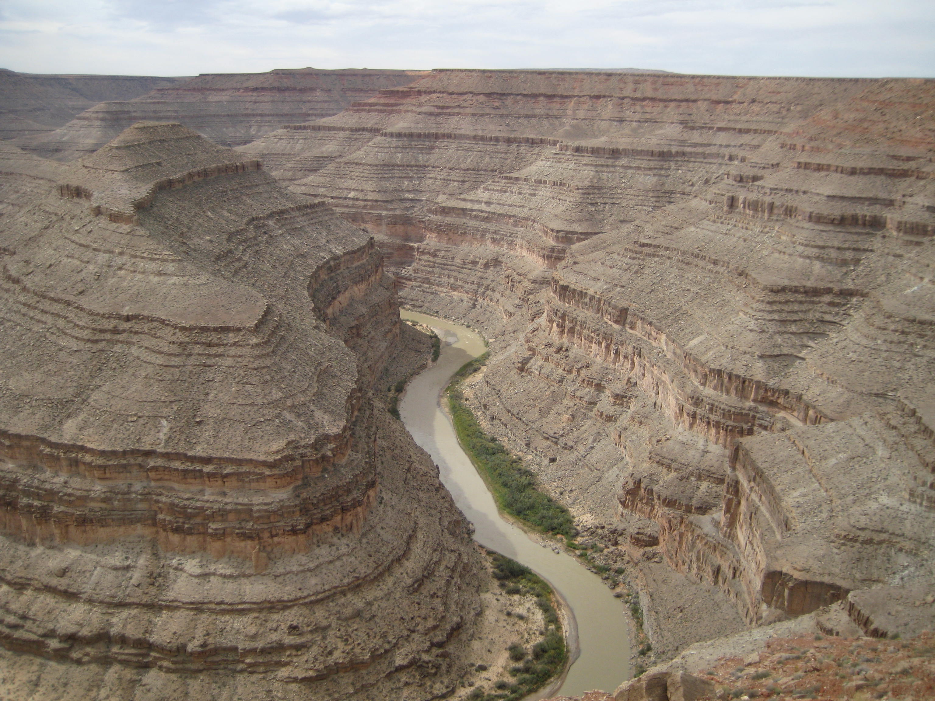
San Juan River at Goosenecks State Park
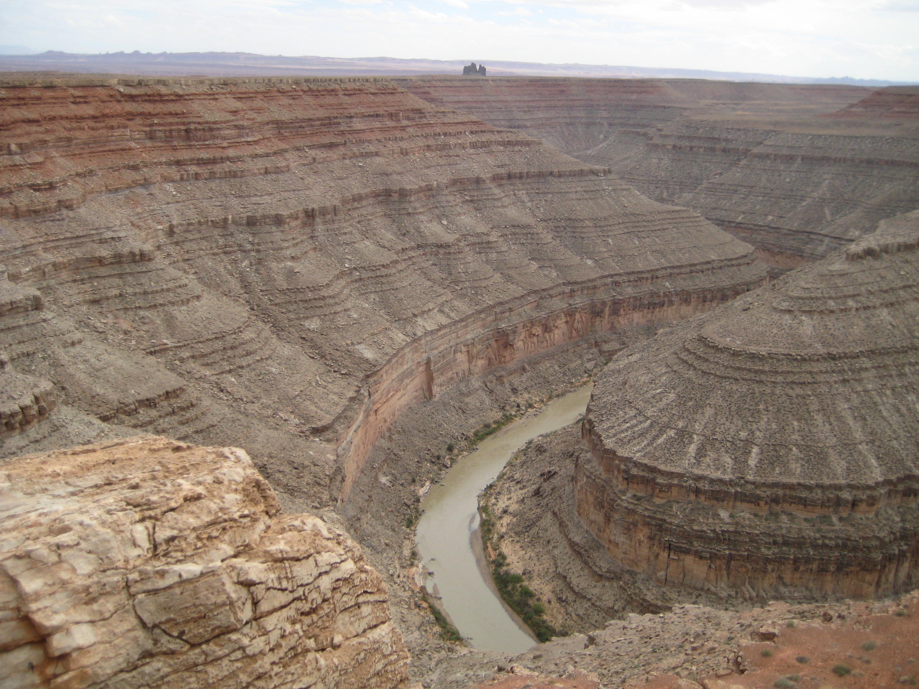
Steps in the canyon wall formed over millions of years
Our next visit was the Moki Dugway. This is a dirt road that winds 1200 feet from top to bottom, 3 miles at an 11% grade. Why did we drive the Moki? Because it is a scary road with no shoulders and you look over the edge and get a real fright. You feel like you are about to topple right over the edge of the road. On the other hand, the views are incredible of Monument Valley and Valley of the Gods. A ‘Dugway’ is a road which is dug or excavated into the land form to provide a path for transport. The Moki Dugway was built to haul uranium and vanadium from Cedar Mesa at top to Mexican Hat.

Beginning the Moki Dugway
Road excavated in the side of rock

Looking down on switchbacks of the Moki Dugway

Looking down to the valley below from top of Moki Dugway
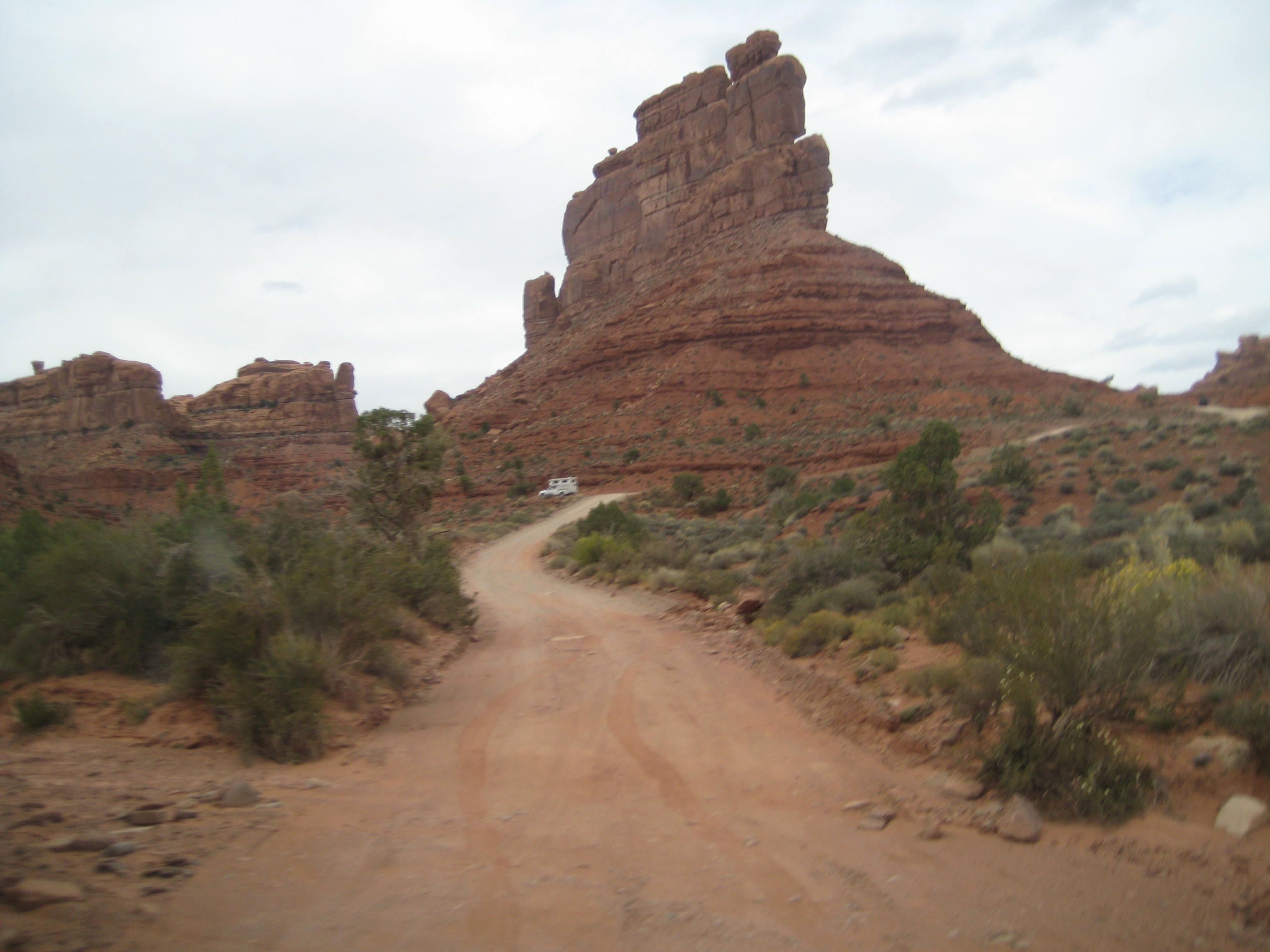
Our last visit was a drive through Valley of the Gods. What I remember most is the jolting, jarring, bouncing, down and up, up and down, jostling ride. I got just a taste of what the Mormons had to go through on their route from Escalante to Bluff. I gripped the strap in the pickup the entire route, a comfortable, warm, dry conveyance with music, food, water, nothing compared to the Mormons traveling in their open wagons with canvas sides in the dead of winter. The Valley of the Gods drive is seventeen miles through BLM lands–I’m surprised the road wasn’t closed. The sandstone formations loom from the desert floor in odd shapes and sizes and captivate the imagination. The road crosses many washes and is not recommended driving during inclement weather. We held our breath as rain was predicted for the afternoon which would make the road a nightmare. The sentinels and monoliths of sandstone were sculpted over eons of time and date from 250 million years ago, deposited in huge sand dunes near the shores of an ancient sea.
A sandstone formation, Valley of the Gods
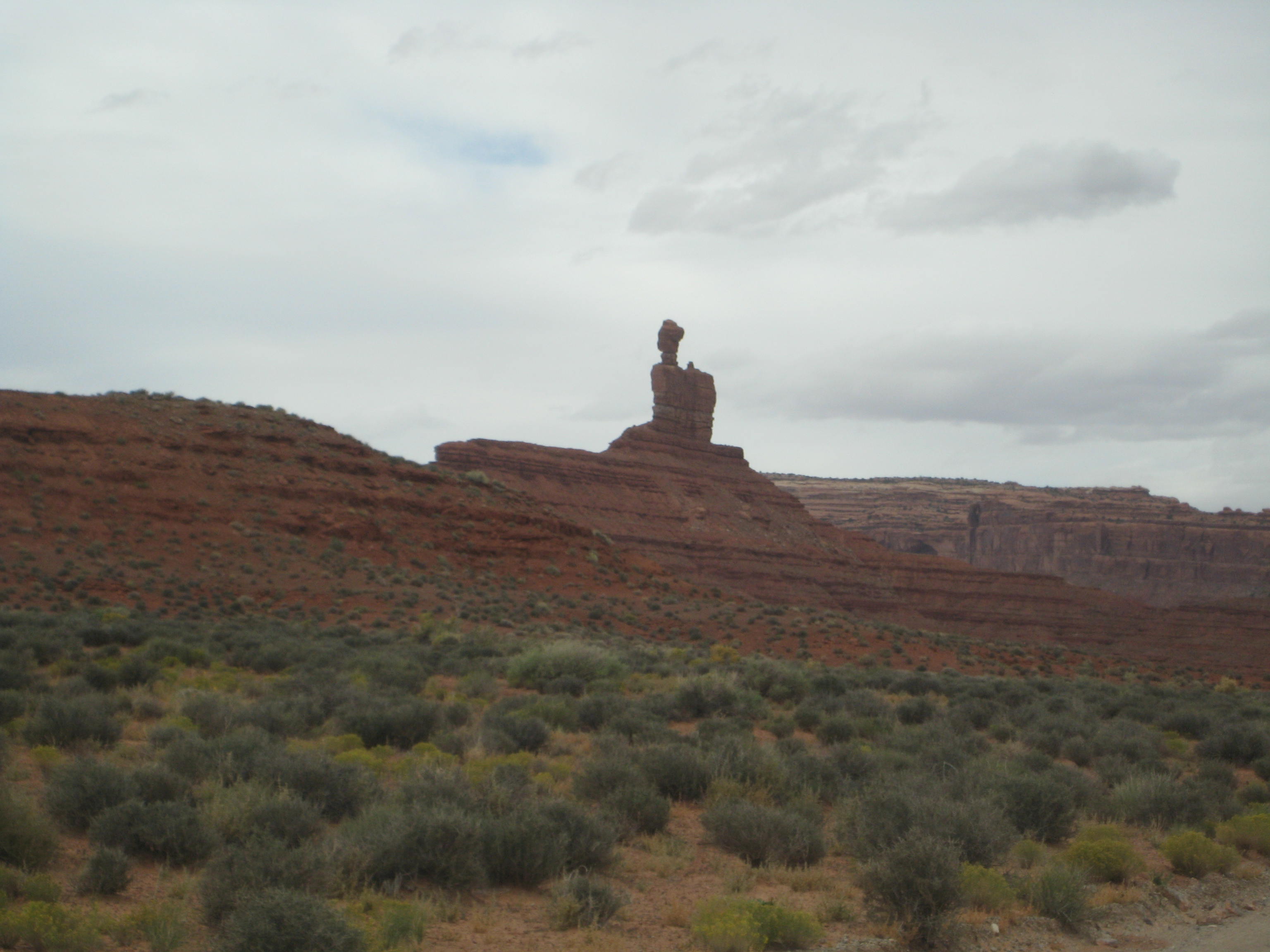
Unique formation, Valley of the Gods
Tall monolith
Sandstone formation
Rainclouds over Valley of the Gods
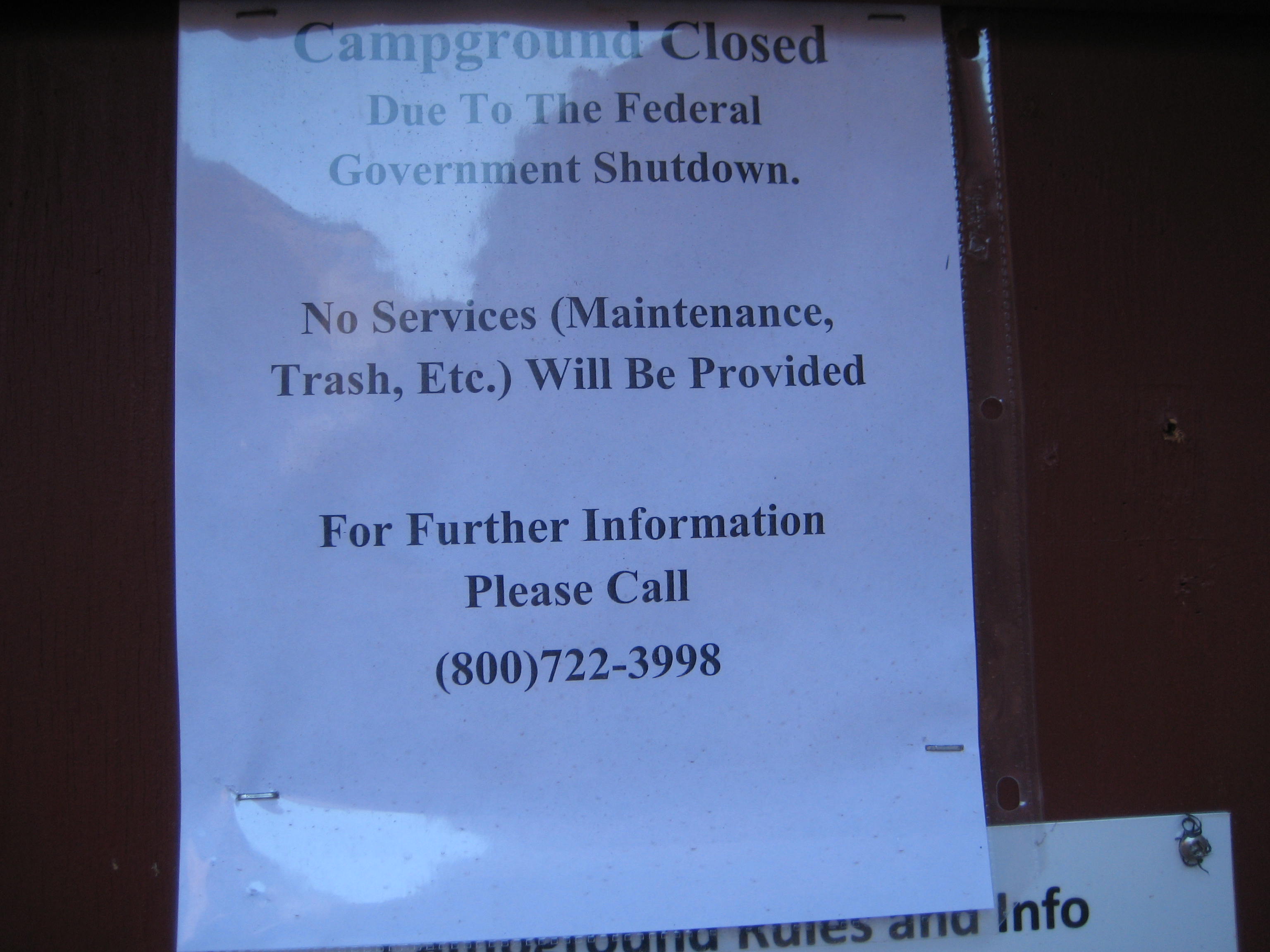
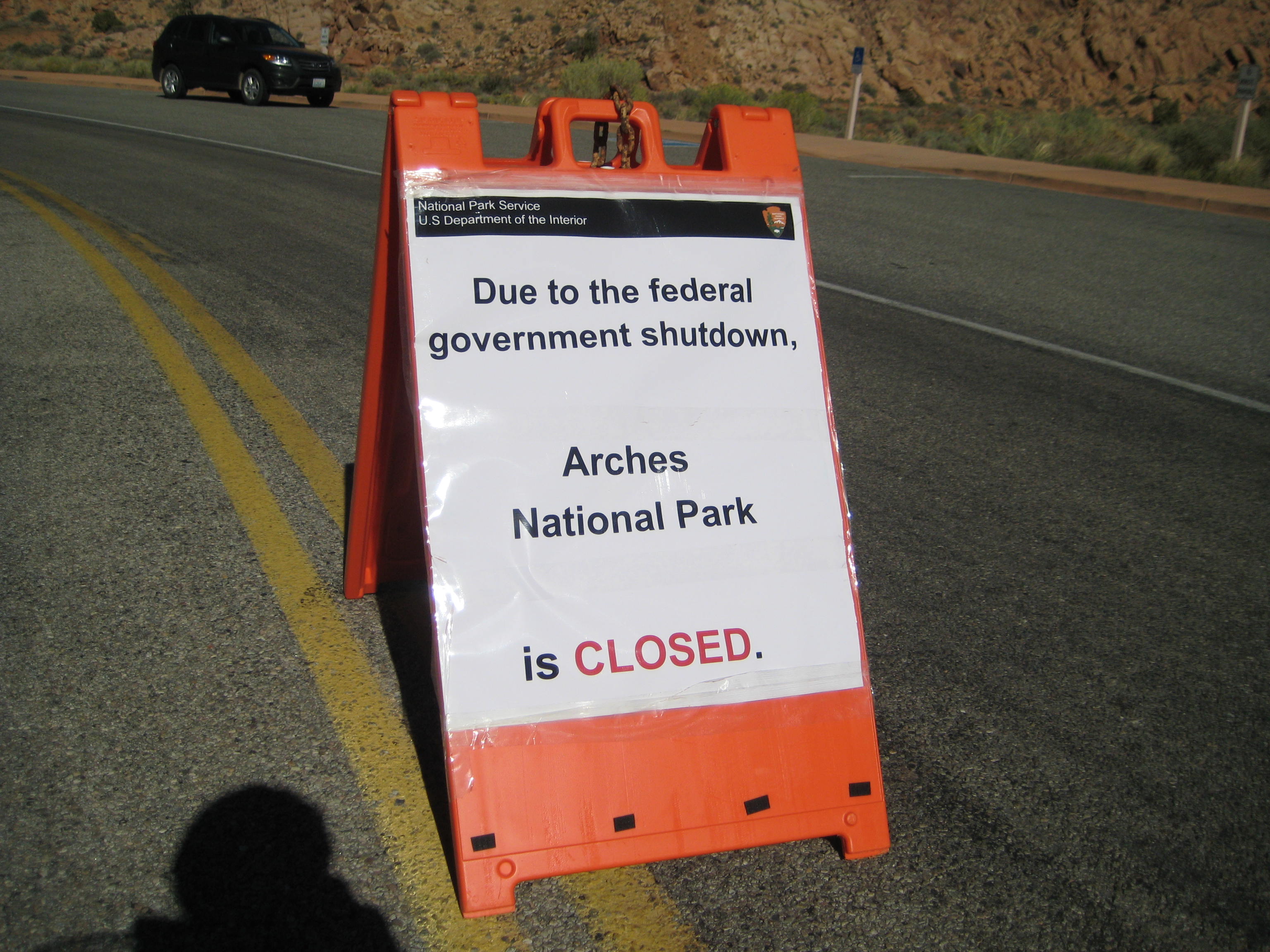
The rains did come — last night — we were pummeled by a pinging and dinging on the trailer roof, along with strong winds, thunder and lightning. So we took a day to hunker down, stay warm and dry, read and write. We will stay in Bluff through Friday night, then Saturday night at Gouldings campground near Monument Valley. Our stay at the North Rim of the Grand Canyon is still up in the air. We are taking it a day at a time. We hear one thing and then we hear another, about whether the parks will open. We strain to catch the names of the parks that are said to be opening. I wonder how history will record the 2013 shutdown of the Federal Government. I definitely have ‘my version.’
Clouds leaving Valley of the Gods
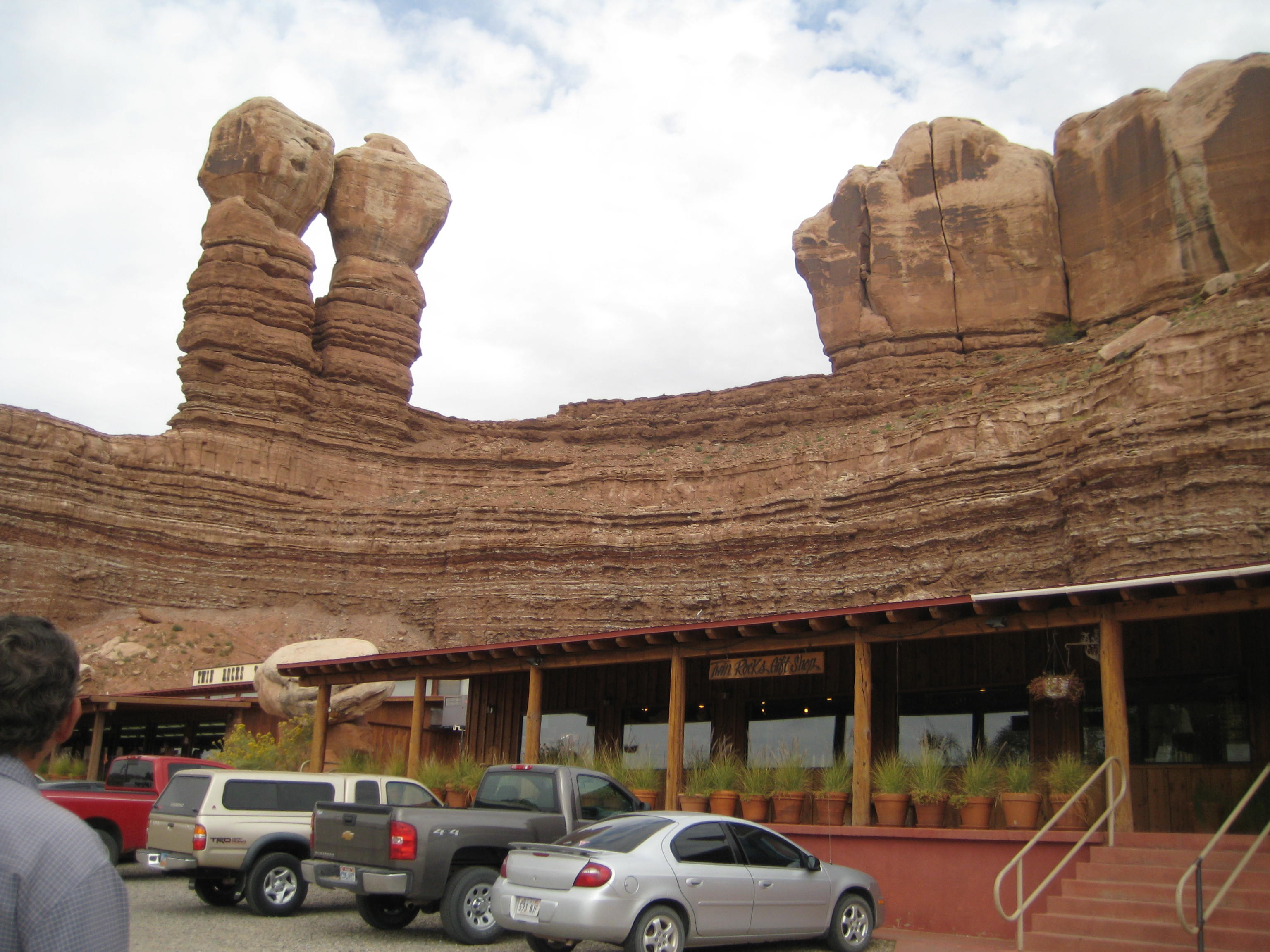
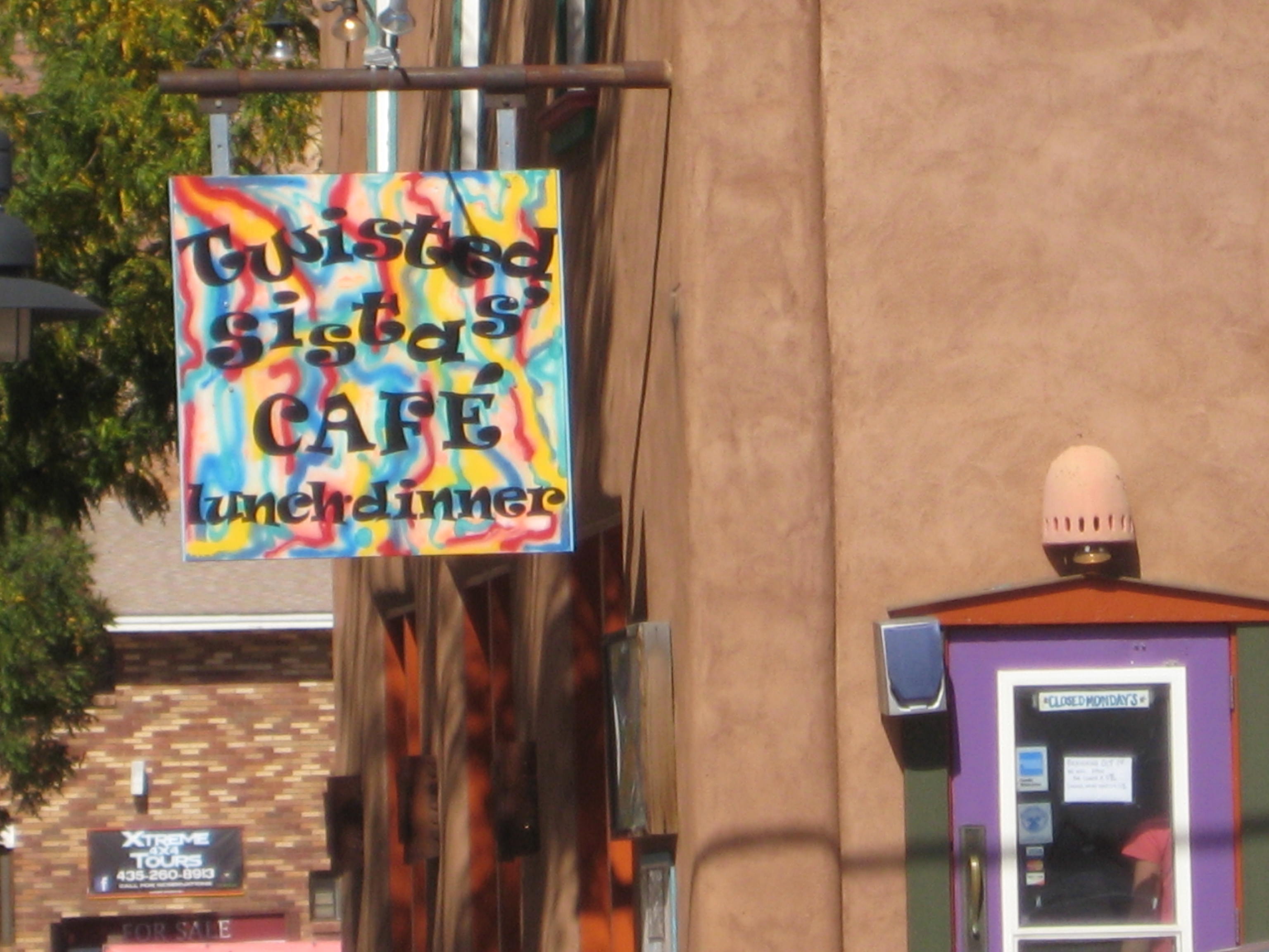
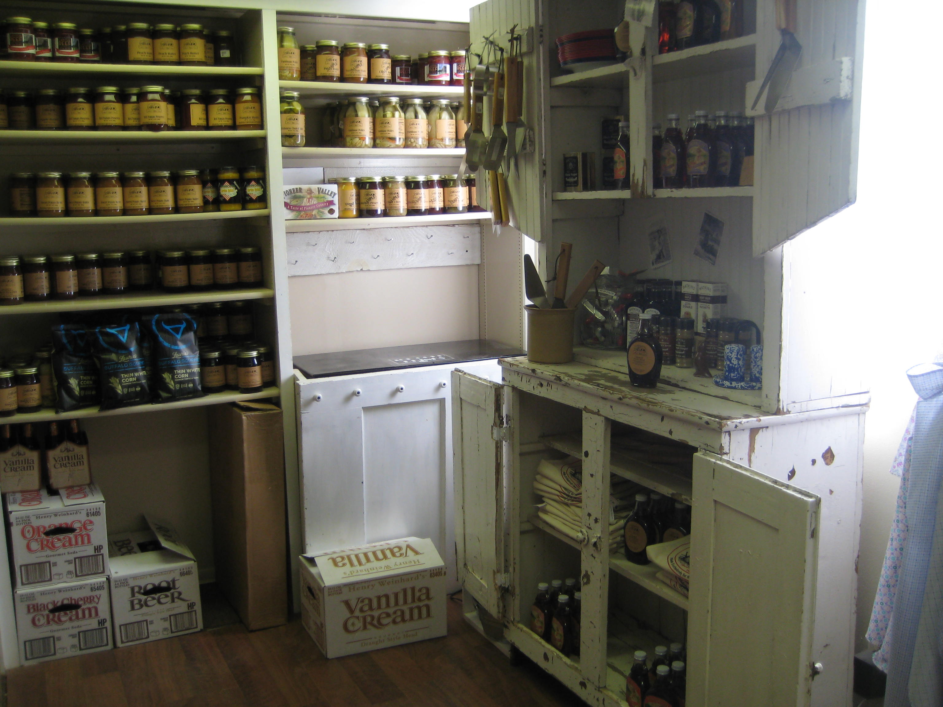
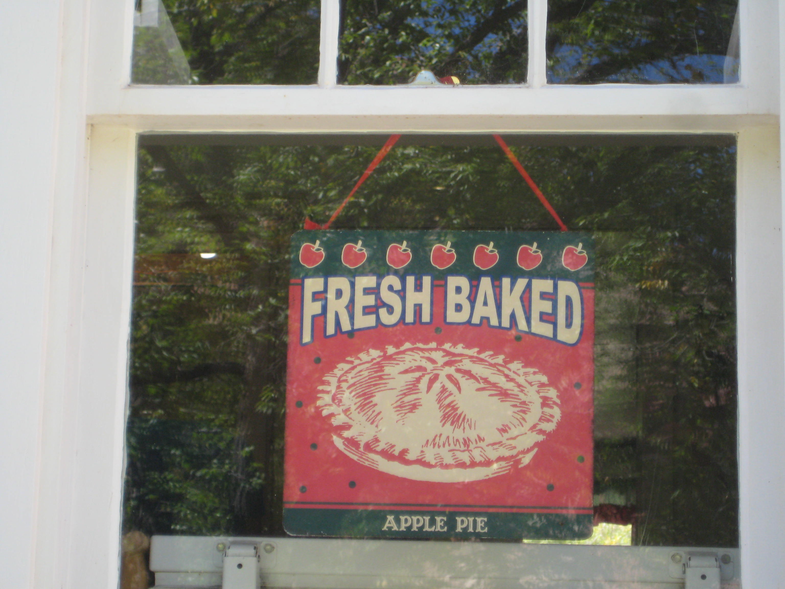
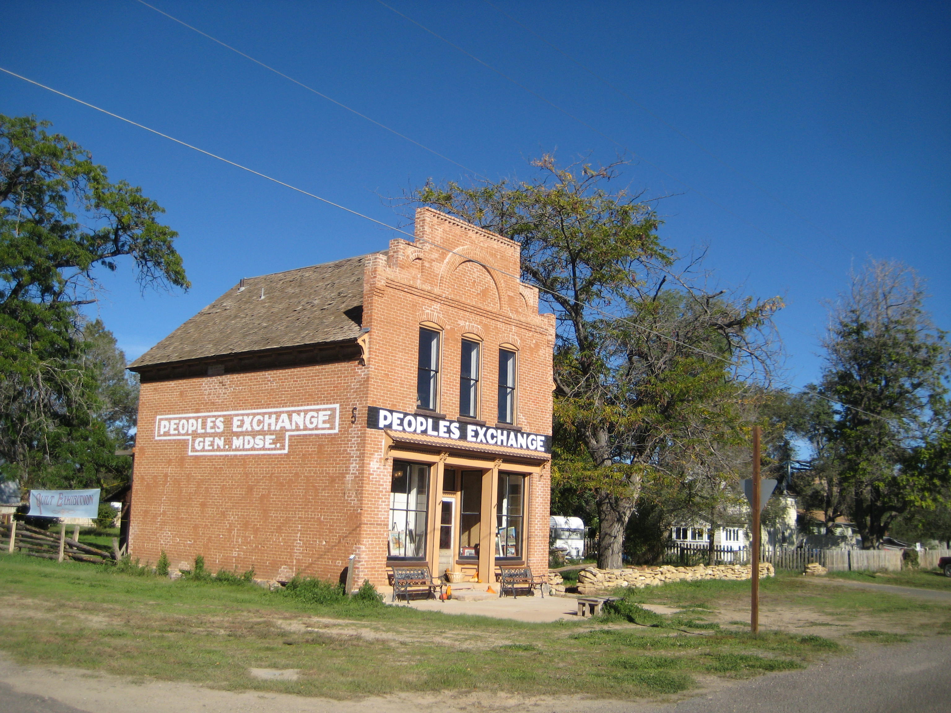
Red Rock Café and Trading Post, Bluff