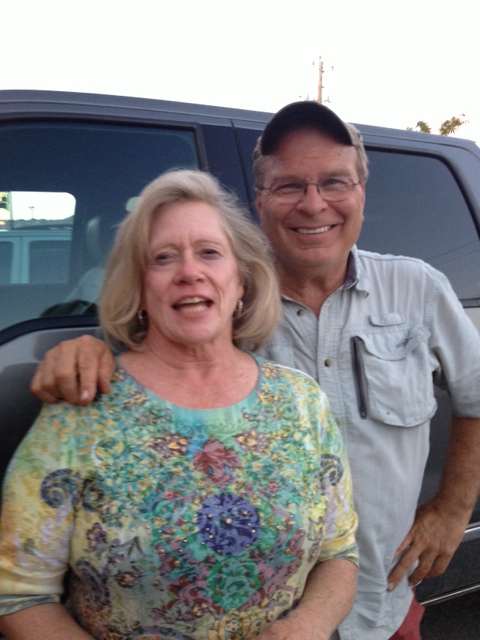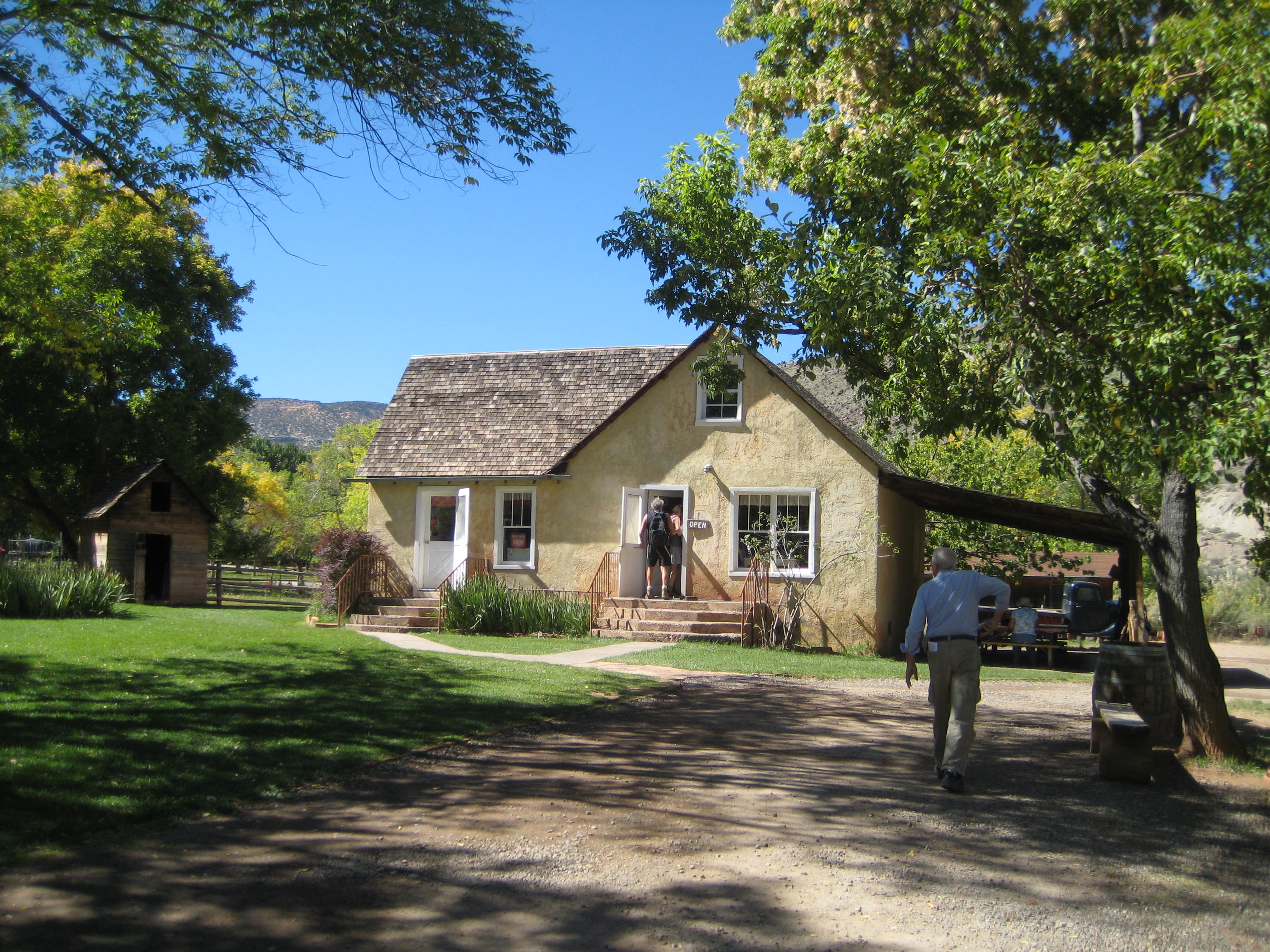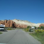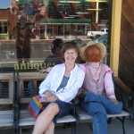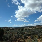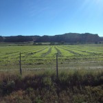
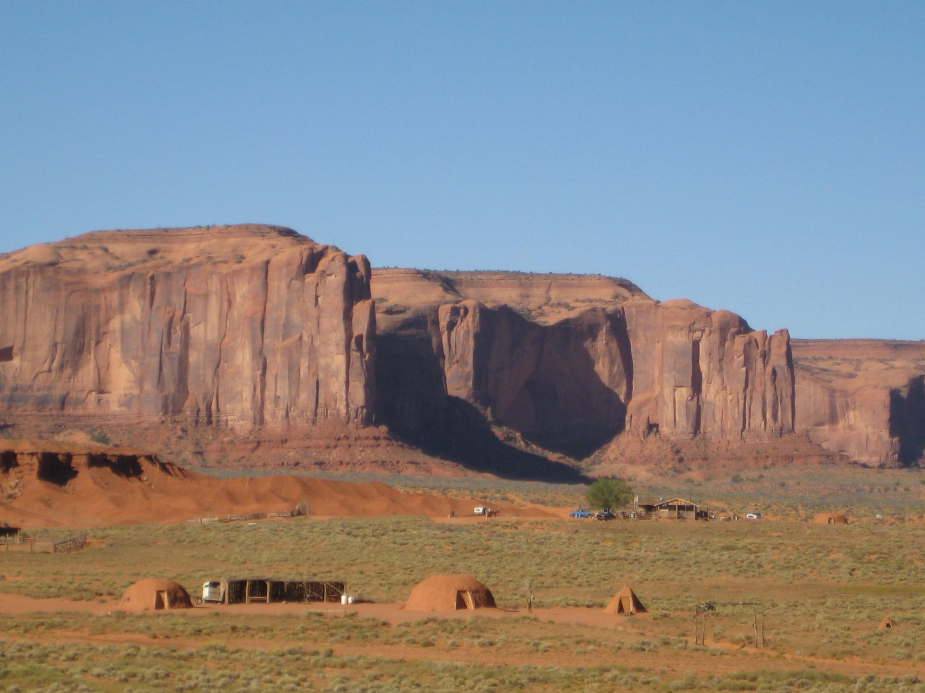
John Wayne country here we come. I had no idea John Wayne would be such a hero in this canyon country section of Utah but everywhere you go in Monument Valley, you run into John Wayne. Whether it is a movie poster, a life-size cut out, a DVD, or photos, you are going to become intimately acquainted with John Wayne here. Monument Valley is a Navajo Tribal Park (30,000 acres) at 5,500 feet elevation. The Navajo Indians that still live in the park might live in hogans, the traditional domed, hexagon-shaped structure with no running water or electricity. A few of them prepare and spin wool the old-fashioned way, using dyes from native plants.
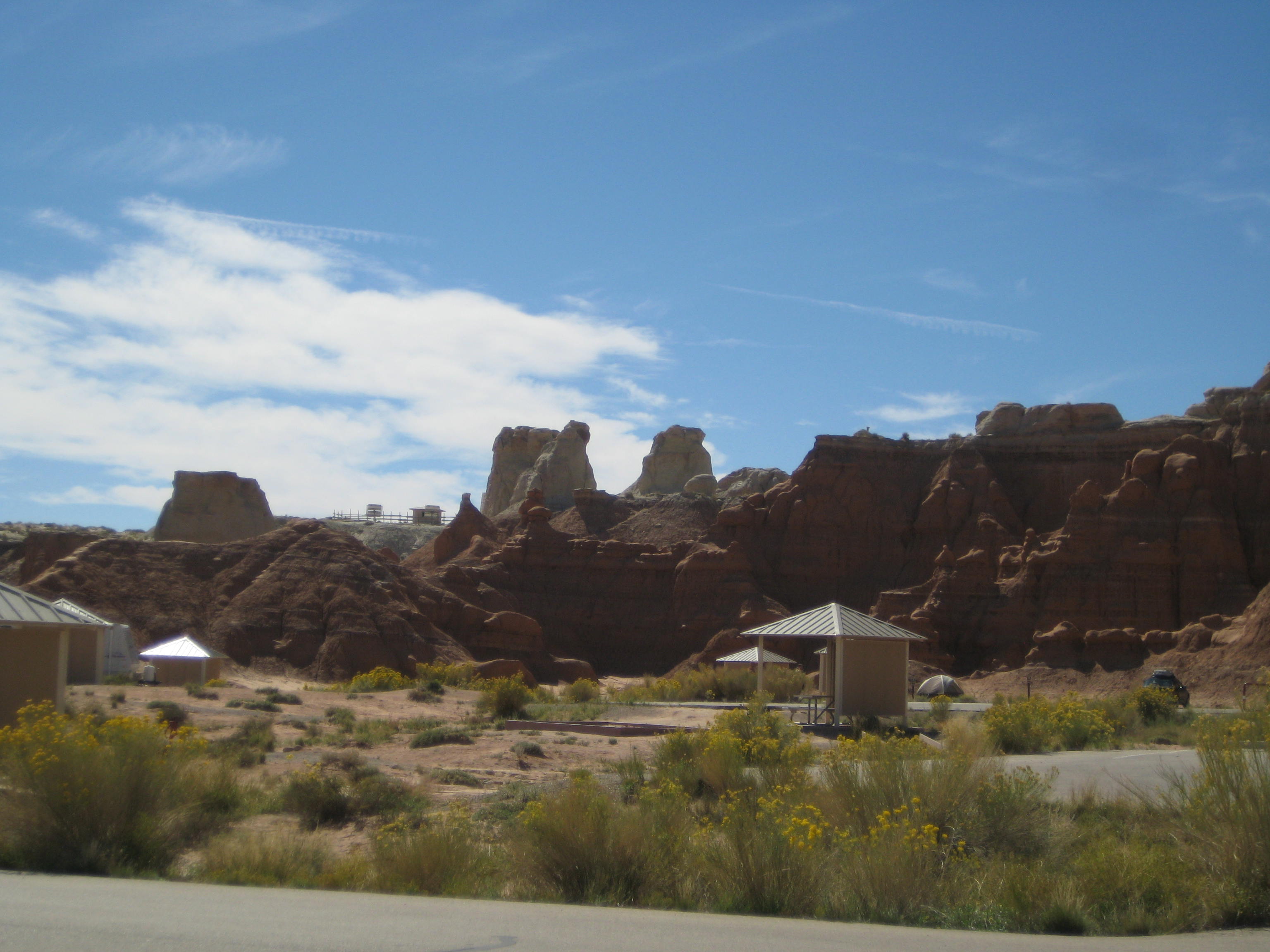
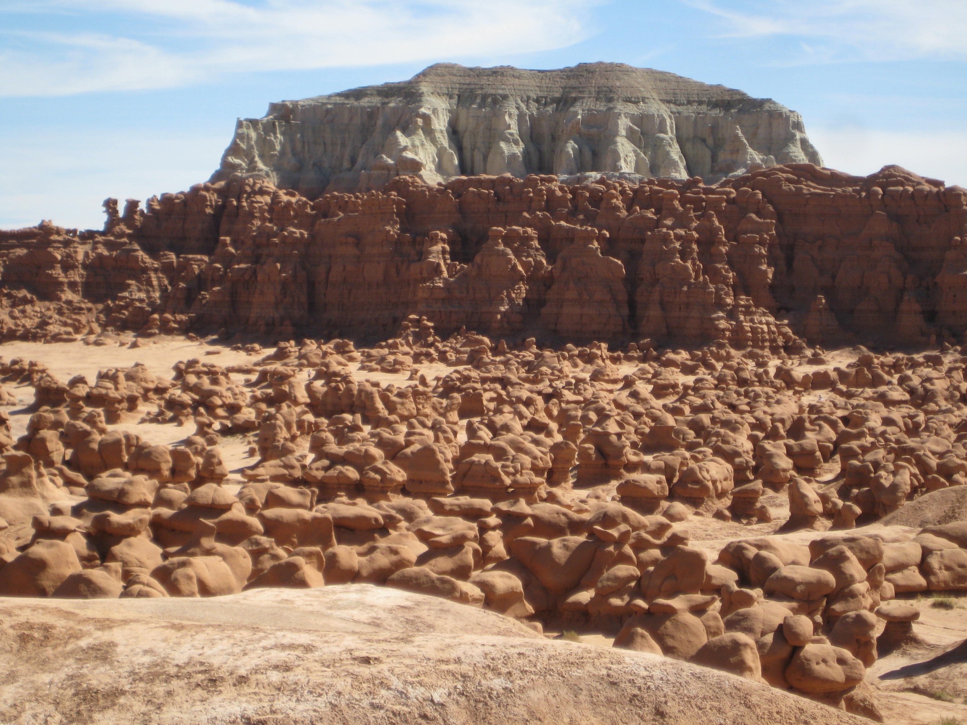
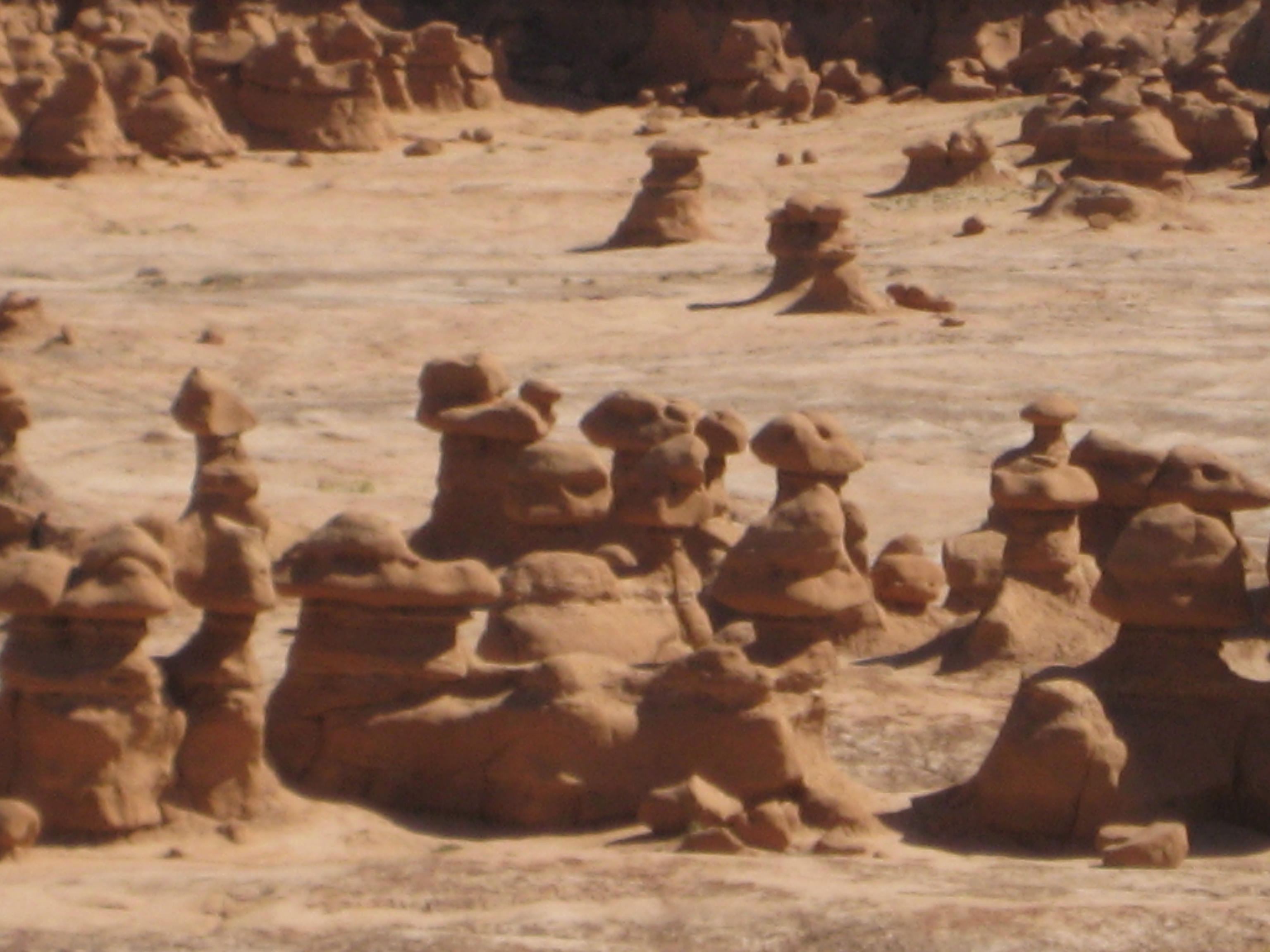
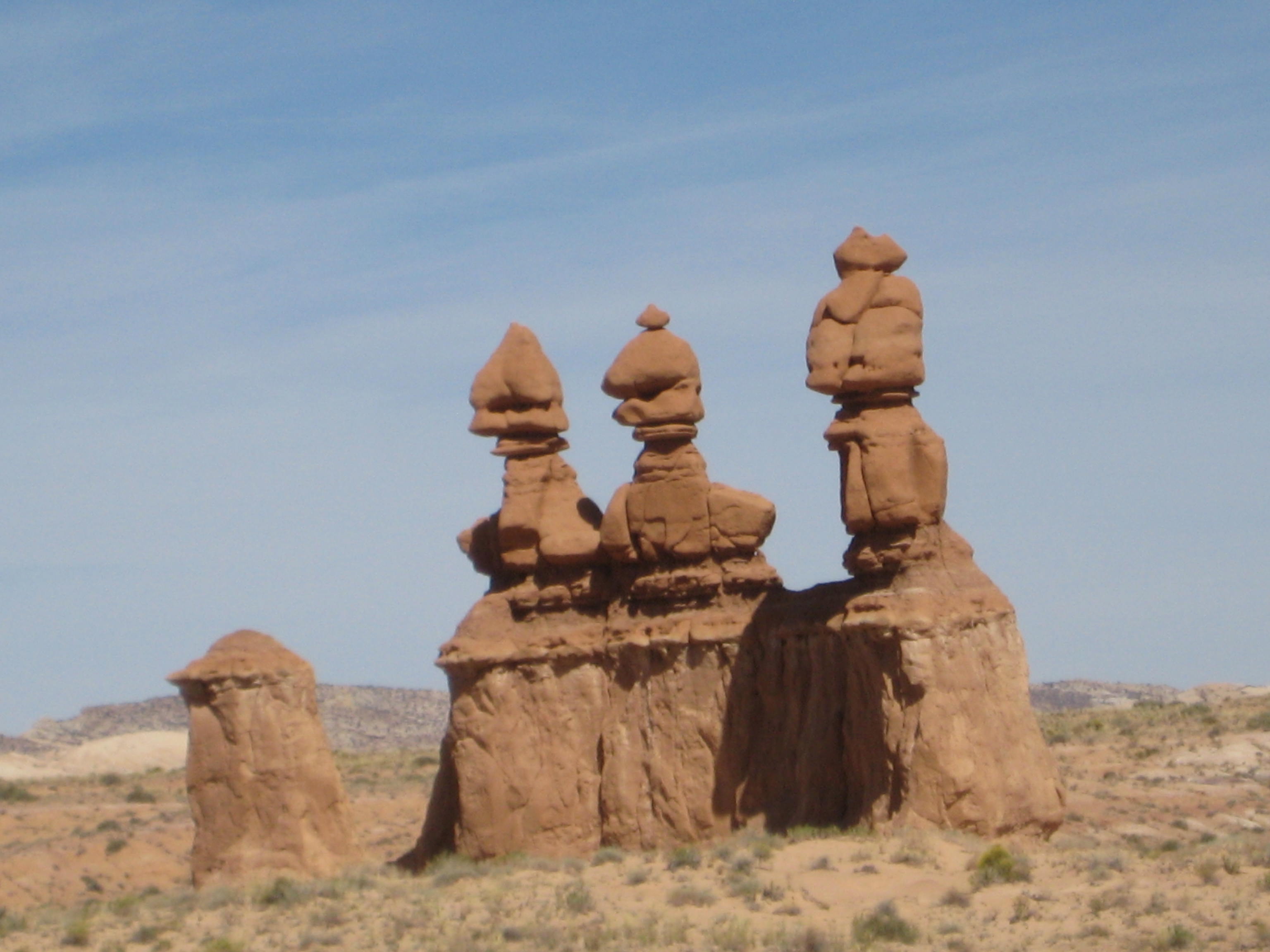
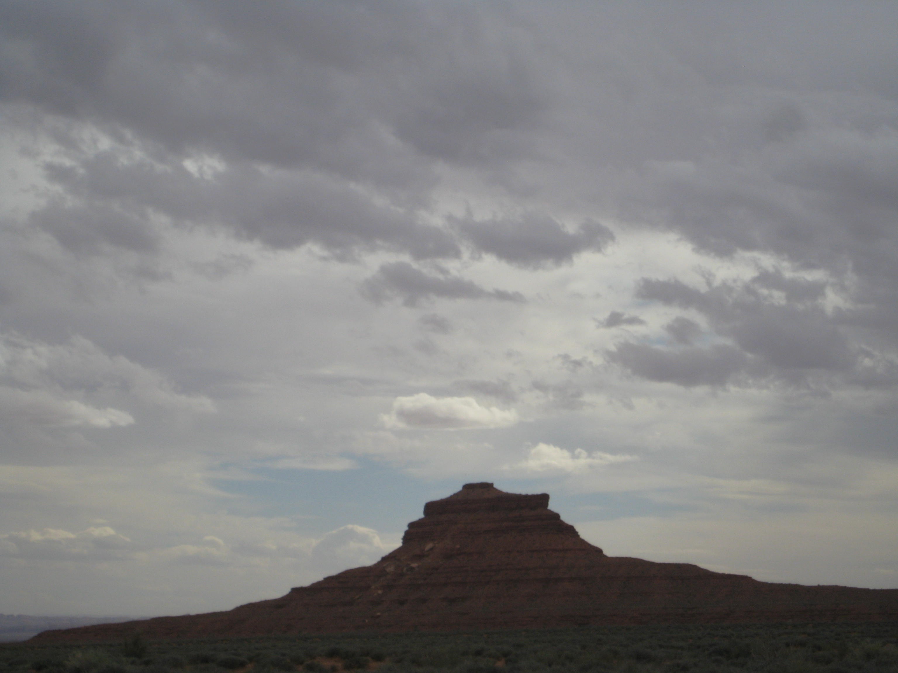
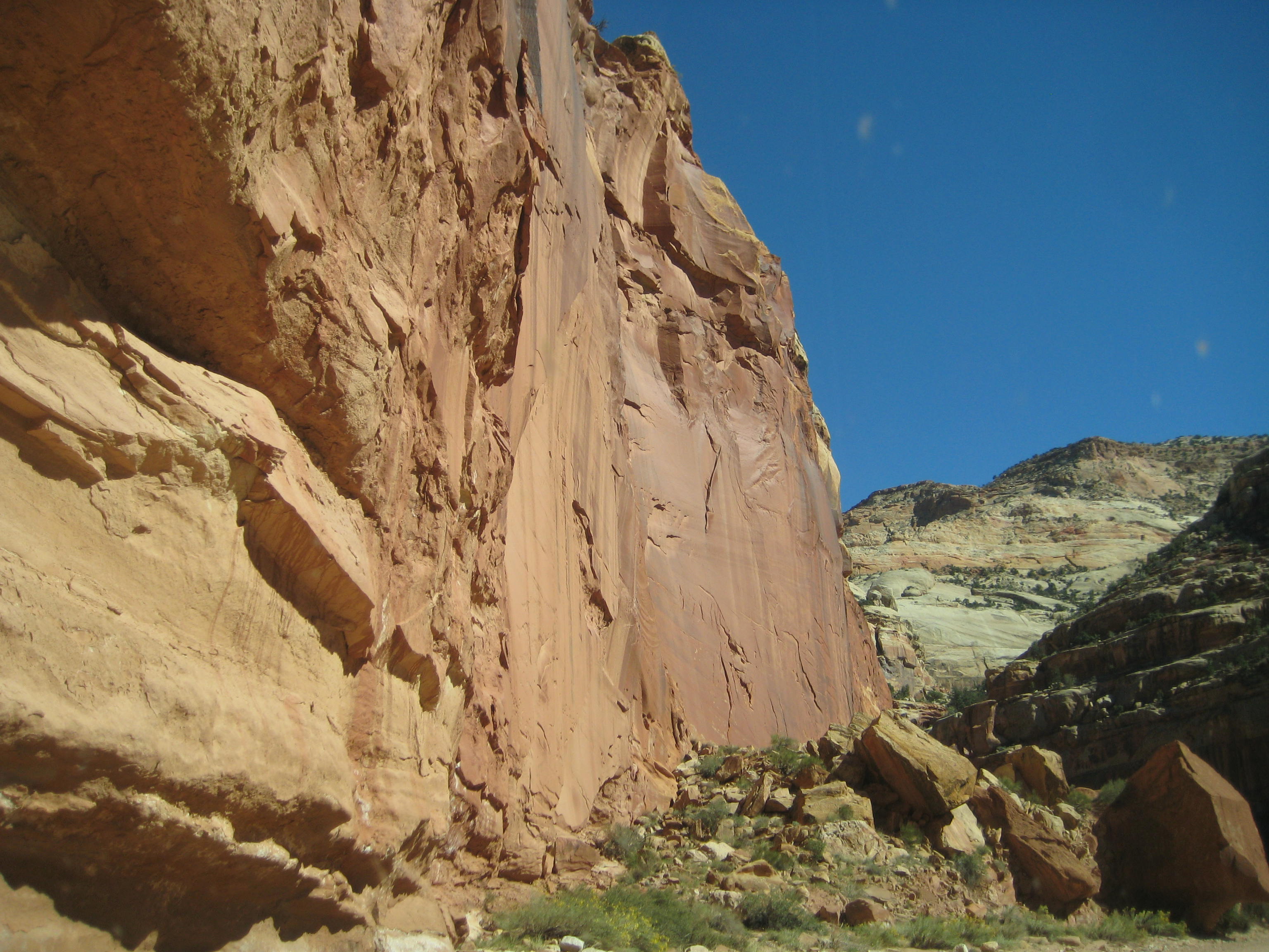
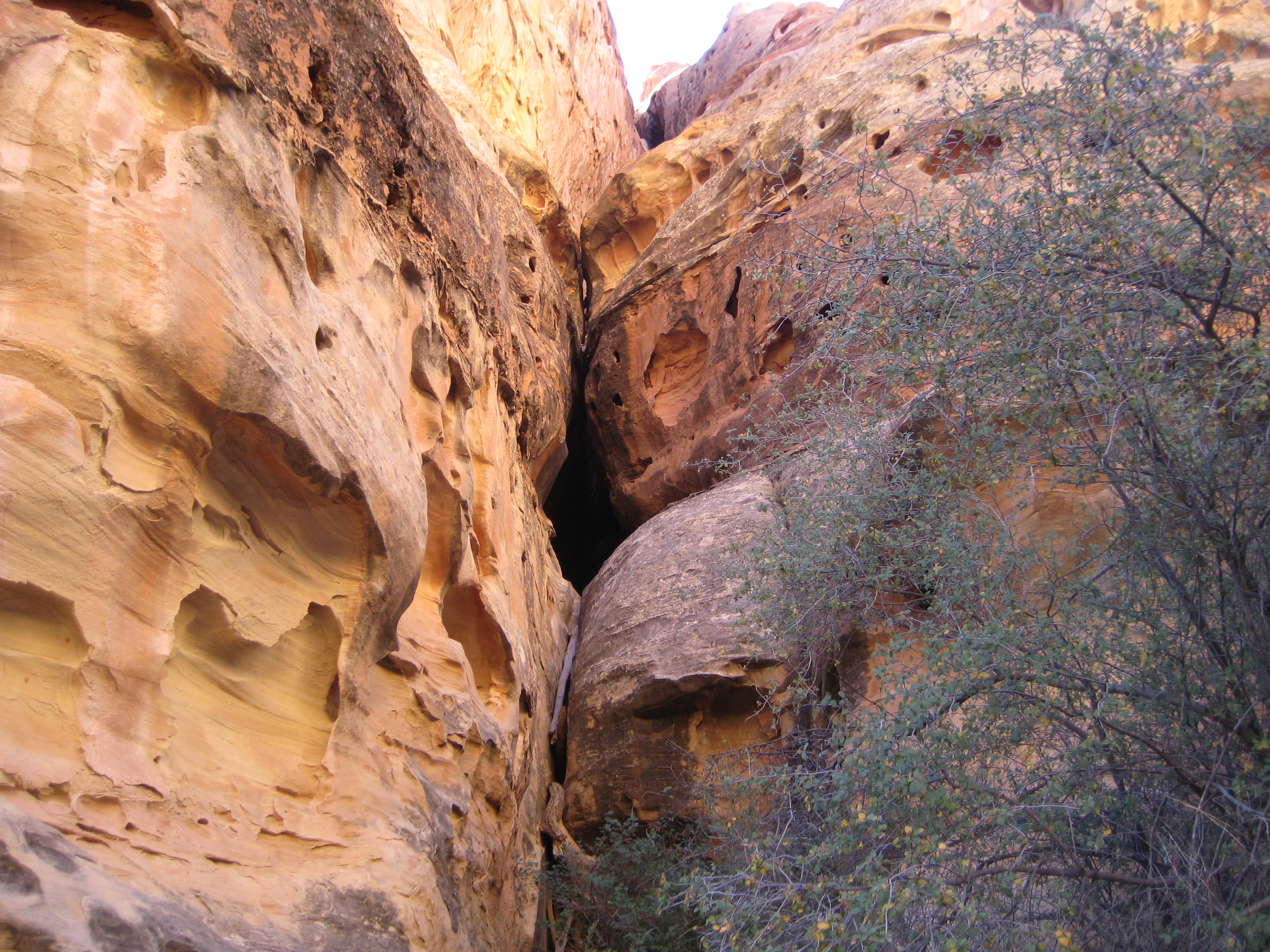
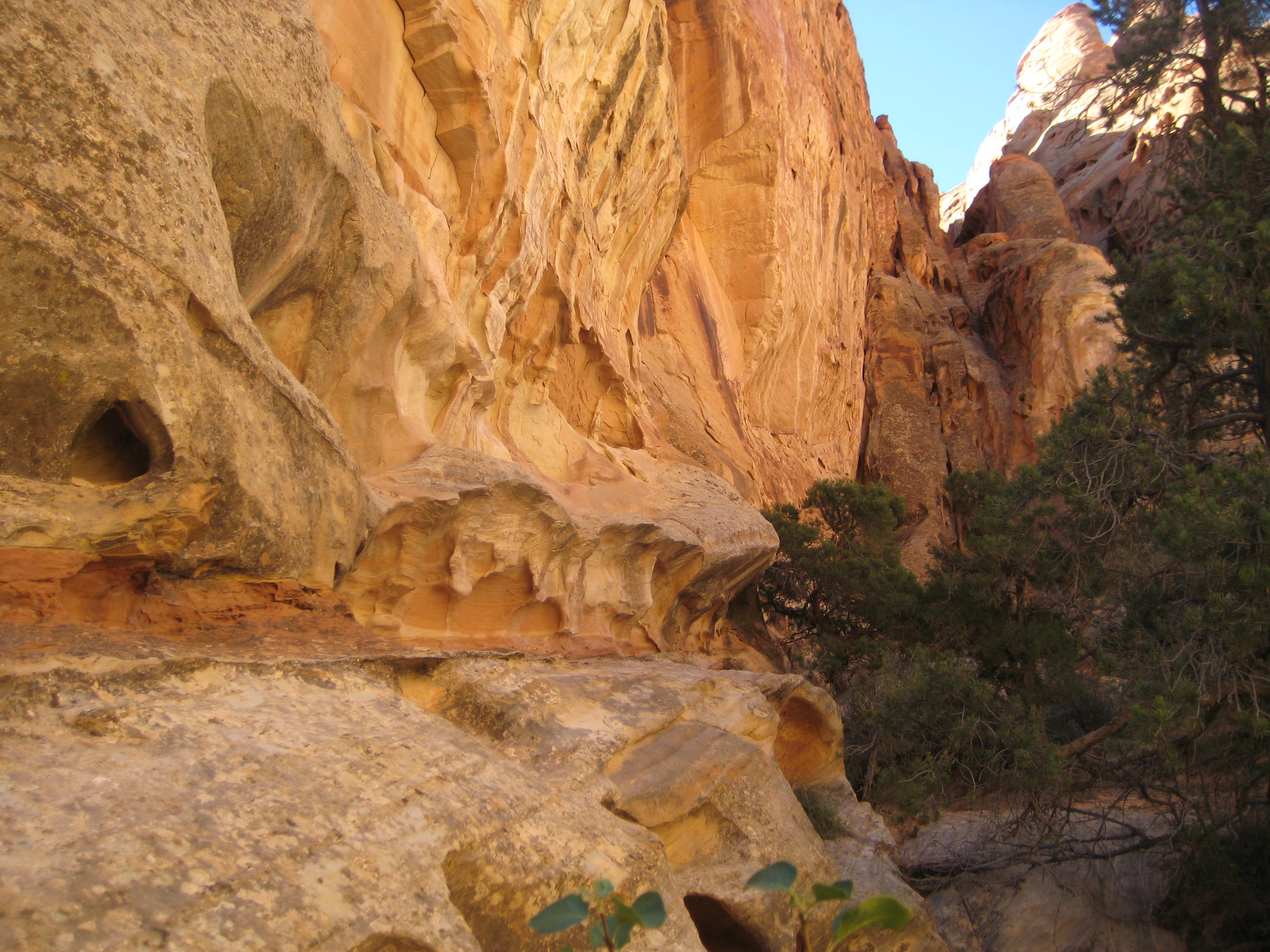
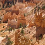
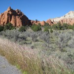
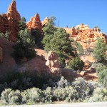
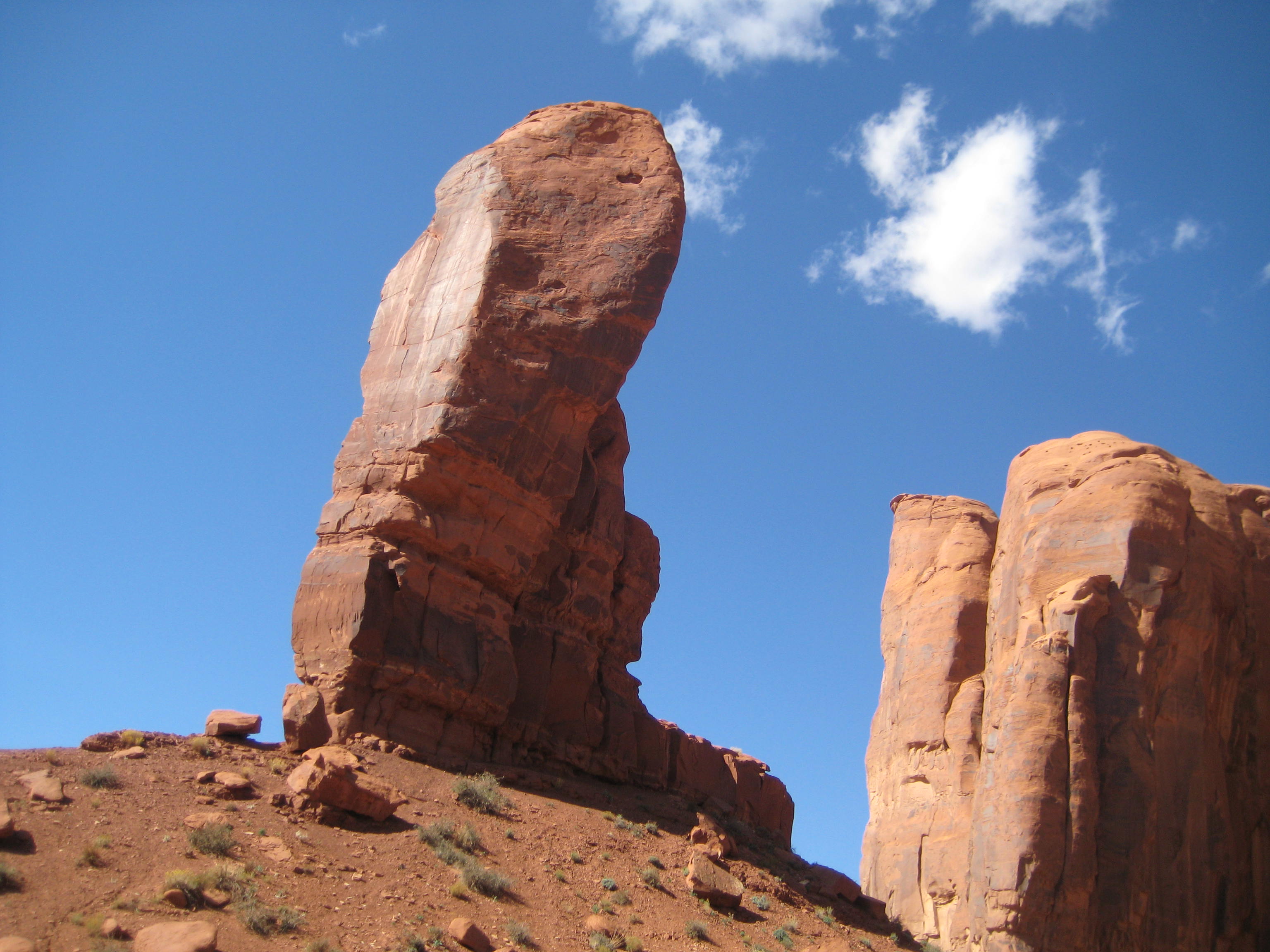
Interesting Rock forms
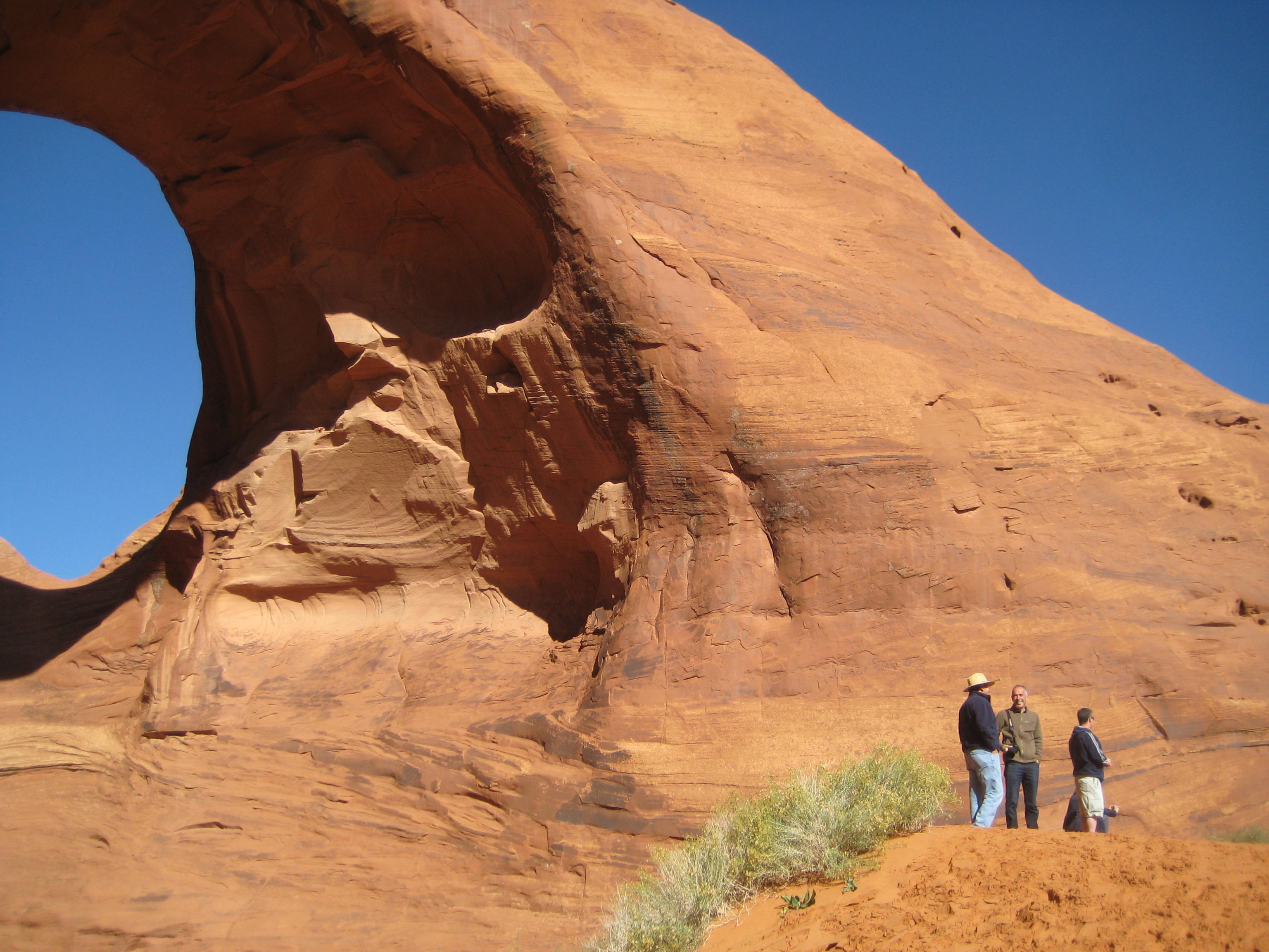
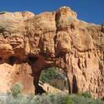
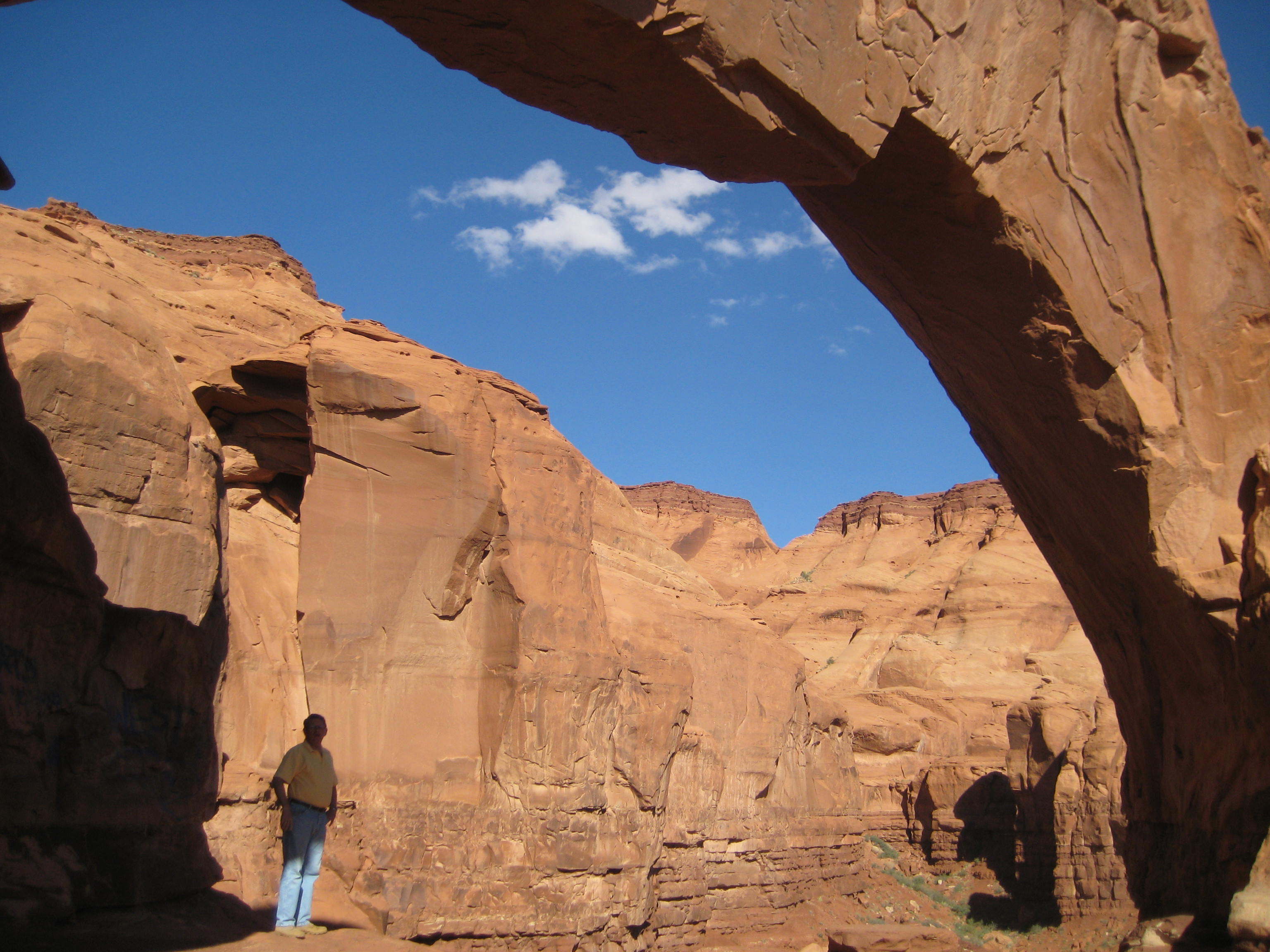
Note people to the right of natural bridge
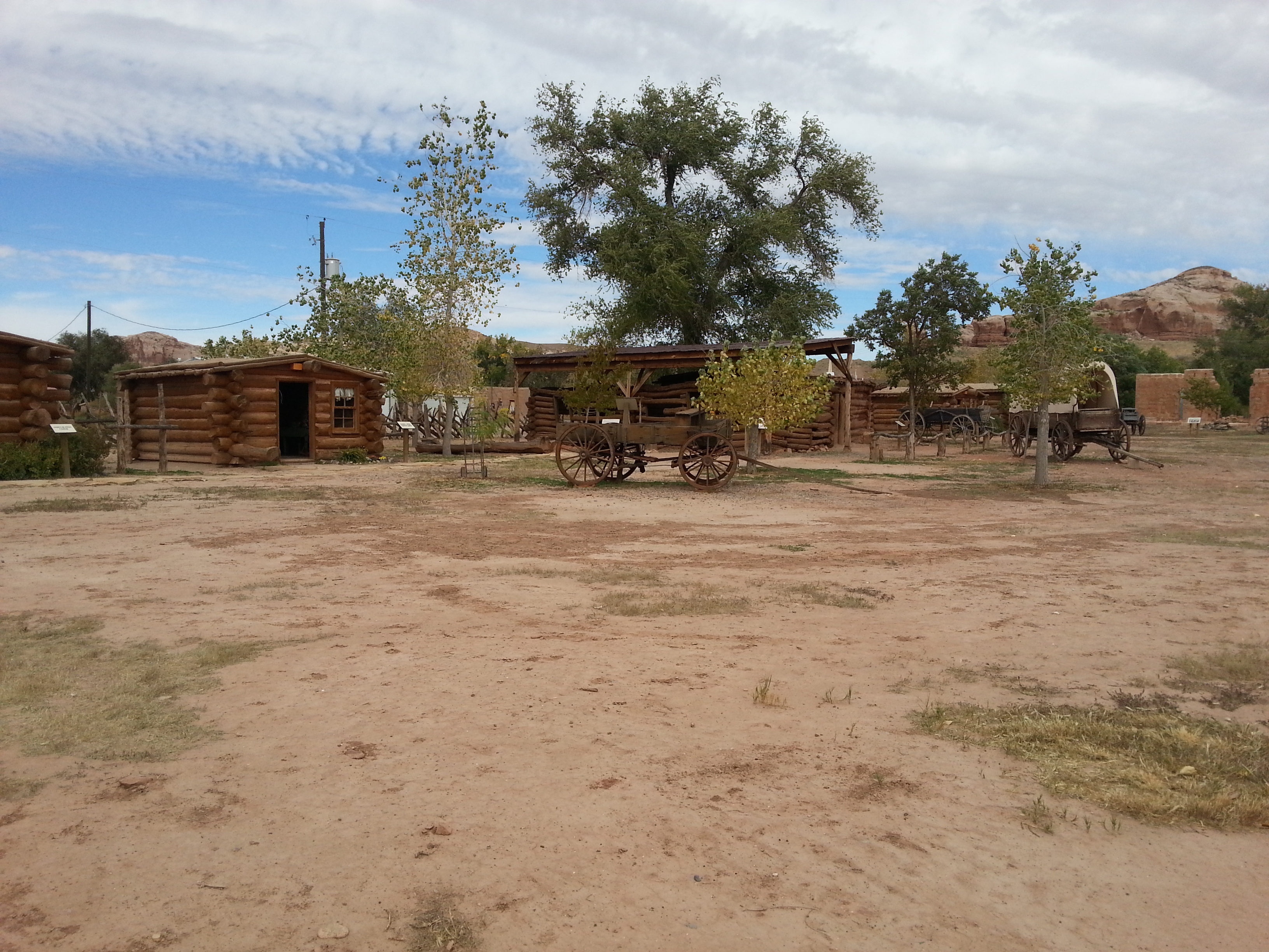
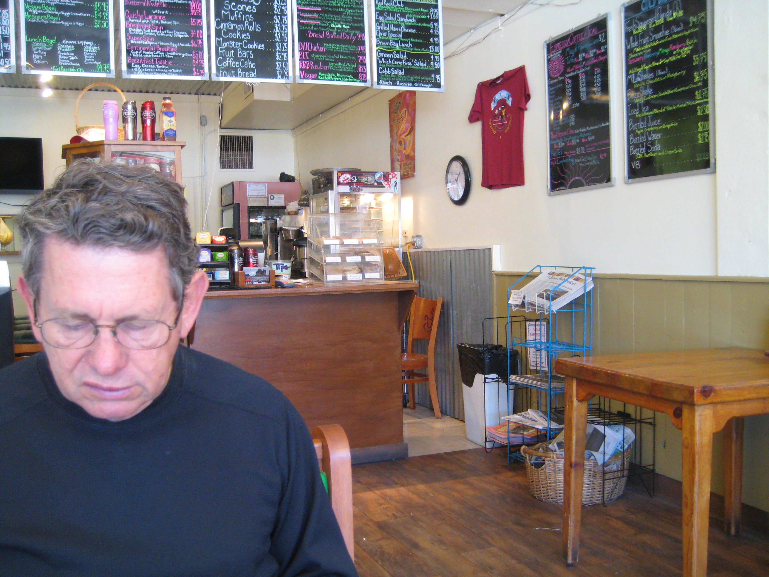
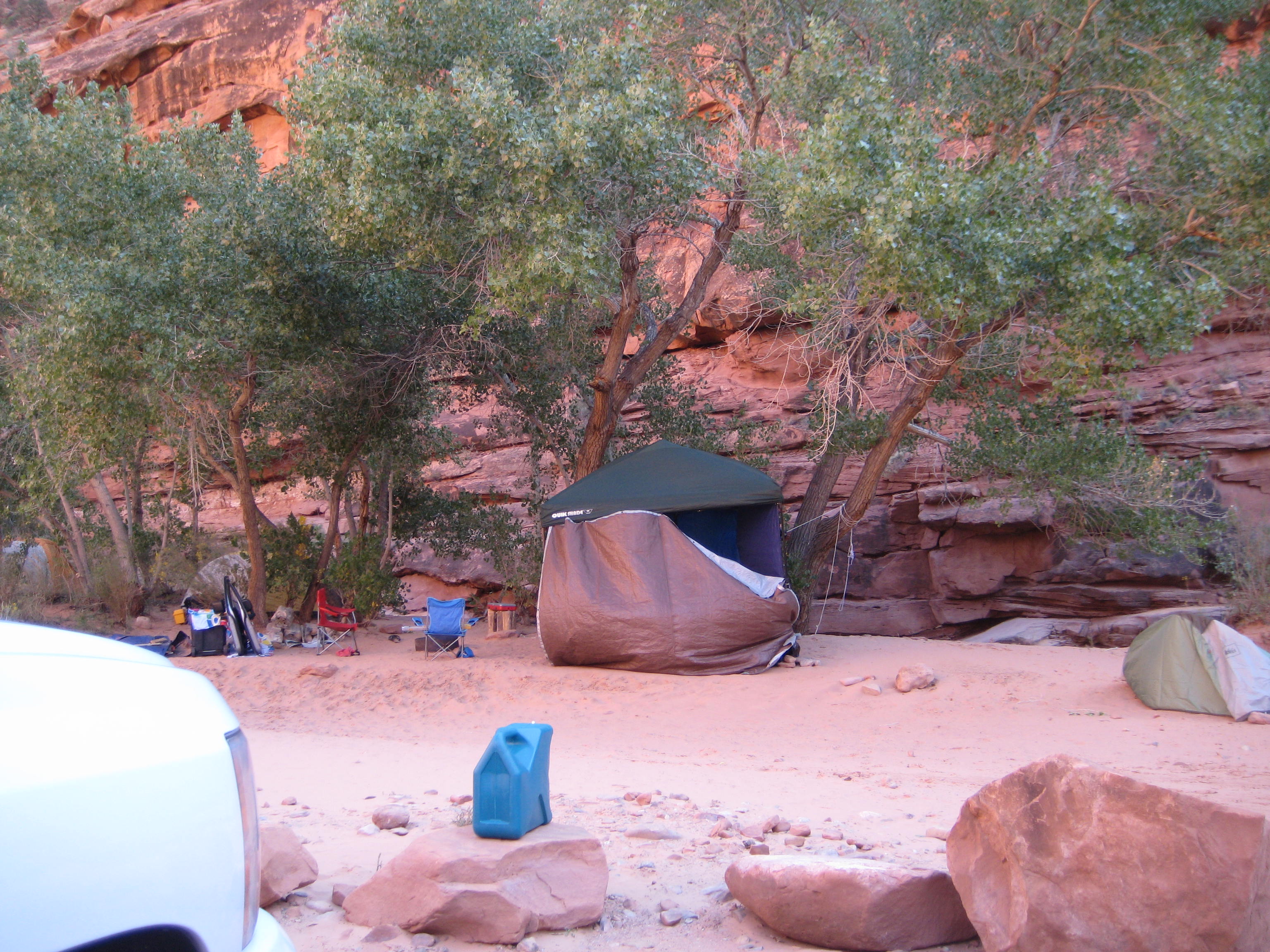
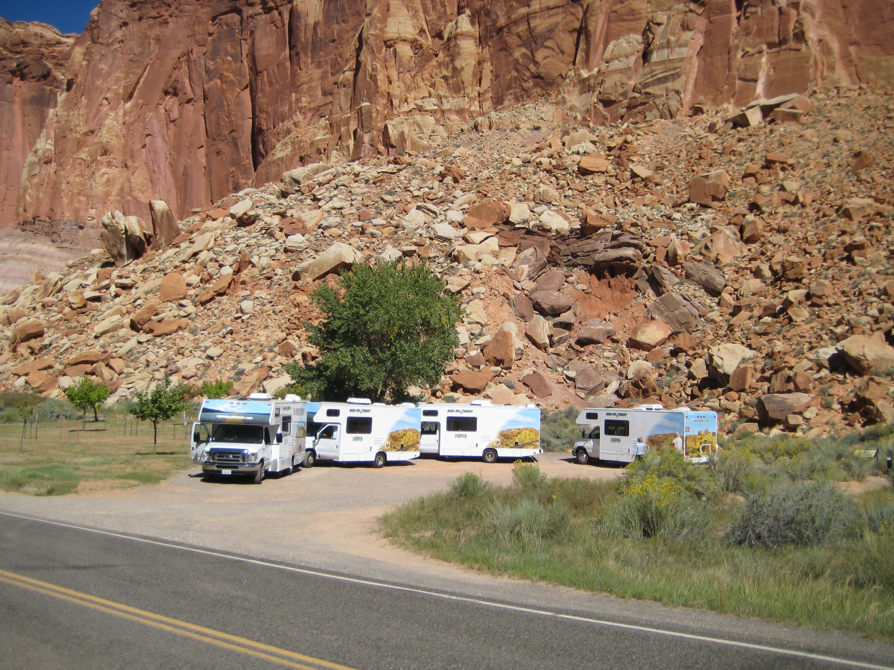
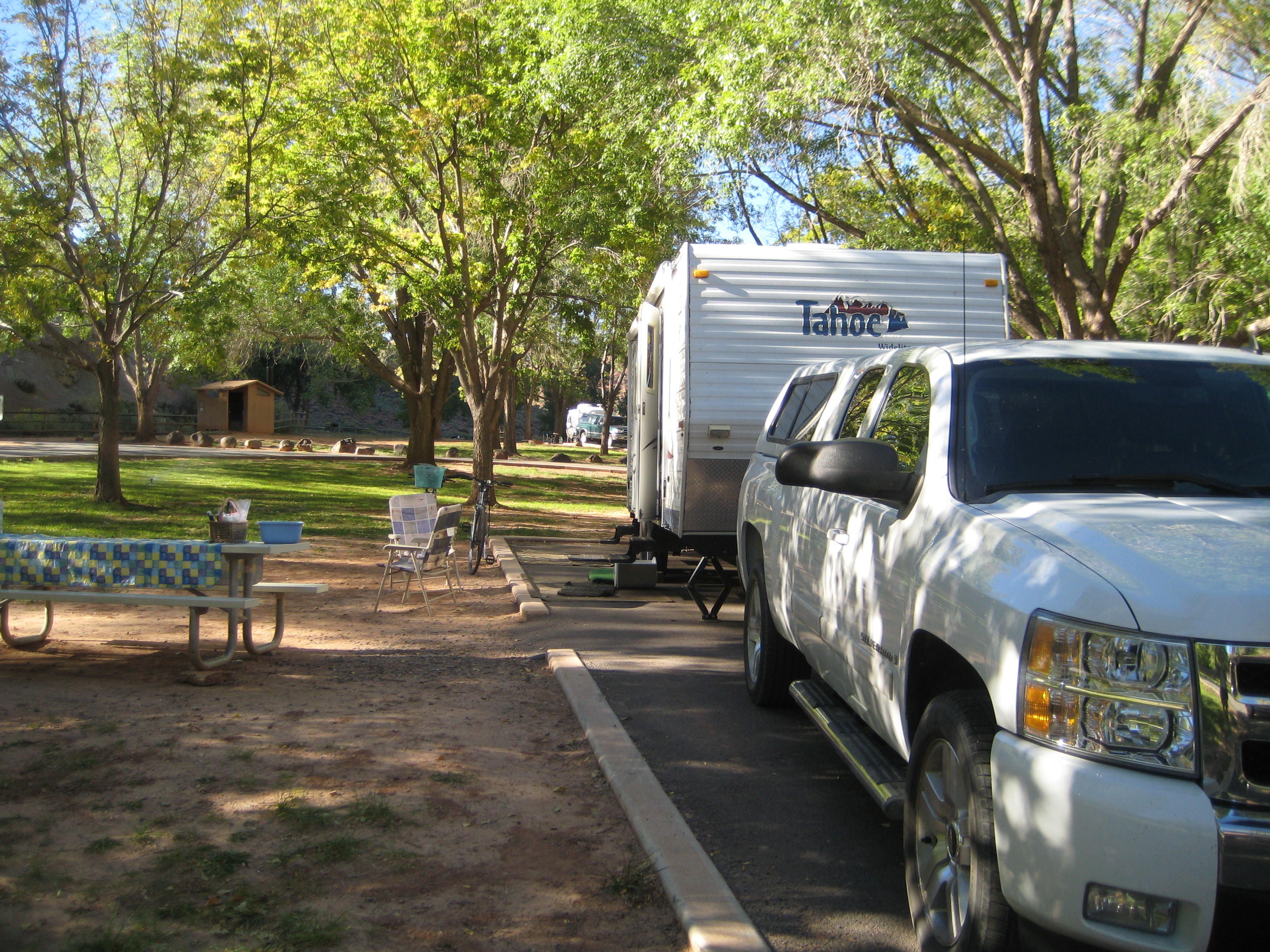
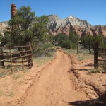
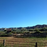
We made the fortunate decision to stay in Gouldings Campground. Harry Goulding and his wife, “Mike”, came to Monument Valley in 1924 and established a Trading Post. The Gouldings apparently were renowned for their integrity, honesty, and genuine concern for Indian welfare. Today Gouldings has a Gift Shop, museum, dining room, theater, market, gas station, Lodge, campground and Gouldings Tours. With that many services run by one company, you might imagine a lackluster performance. But we found the opposite to be true. The campground was well run with a laundromat and a computer and a shower room and indoor pool. The museum was filled with movie memorabilia and replicas of the Gouldings original living quarters, a television that ran John Wayne movies, and lots of history. The meal in the dining room was excellent, fast service, beautiful views, and Navajo Fry Bread. The Navajo personality was enthralling to me, so laid back, gentle, and “take-life-as-it-comes,” family/community-oriented. I could never imagine being that unwound.

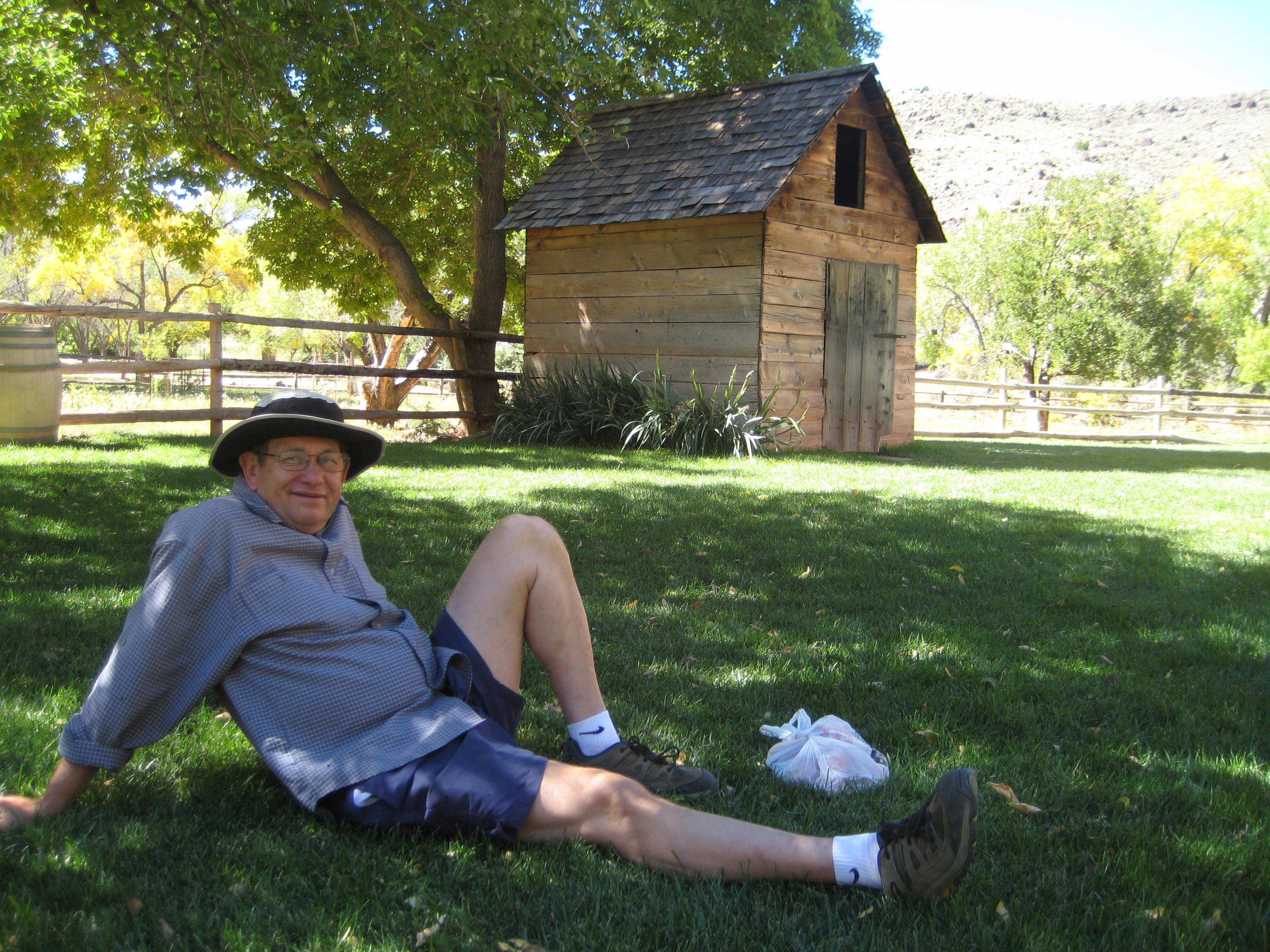
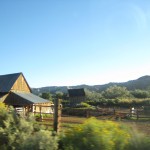
Gouldings Campground from our trailer

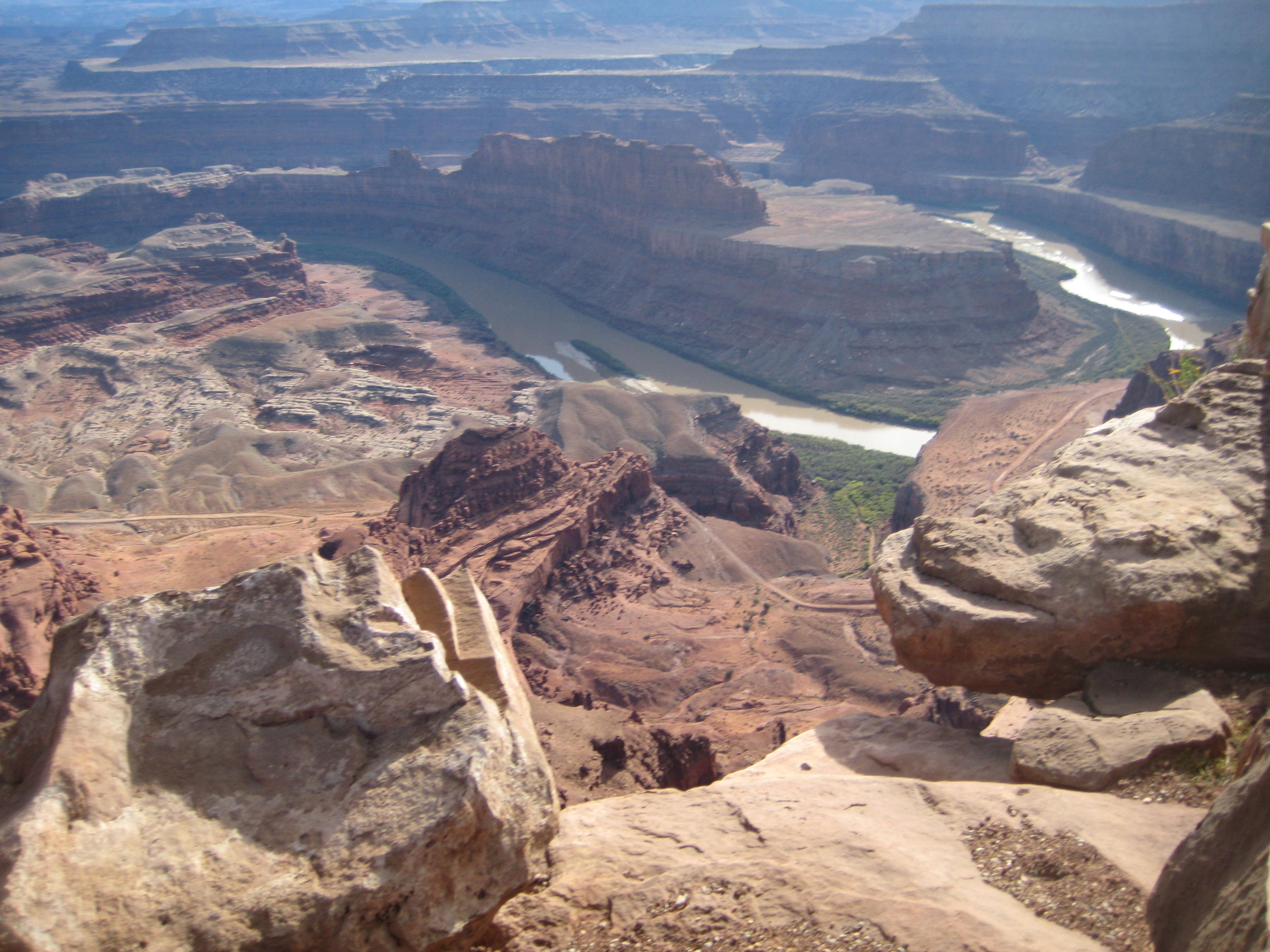
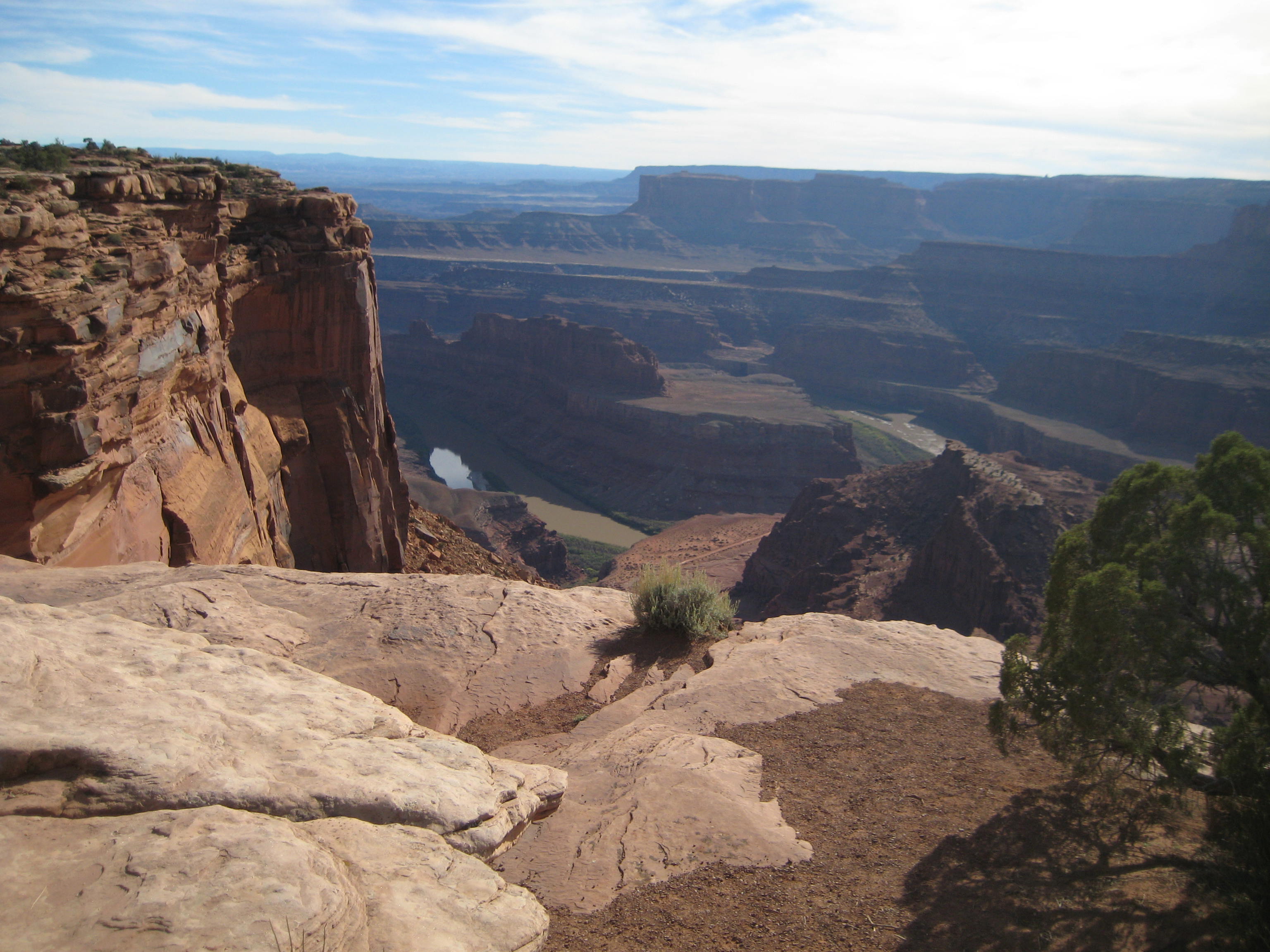
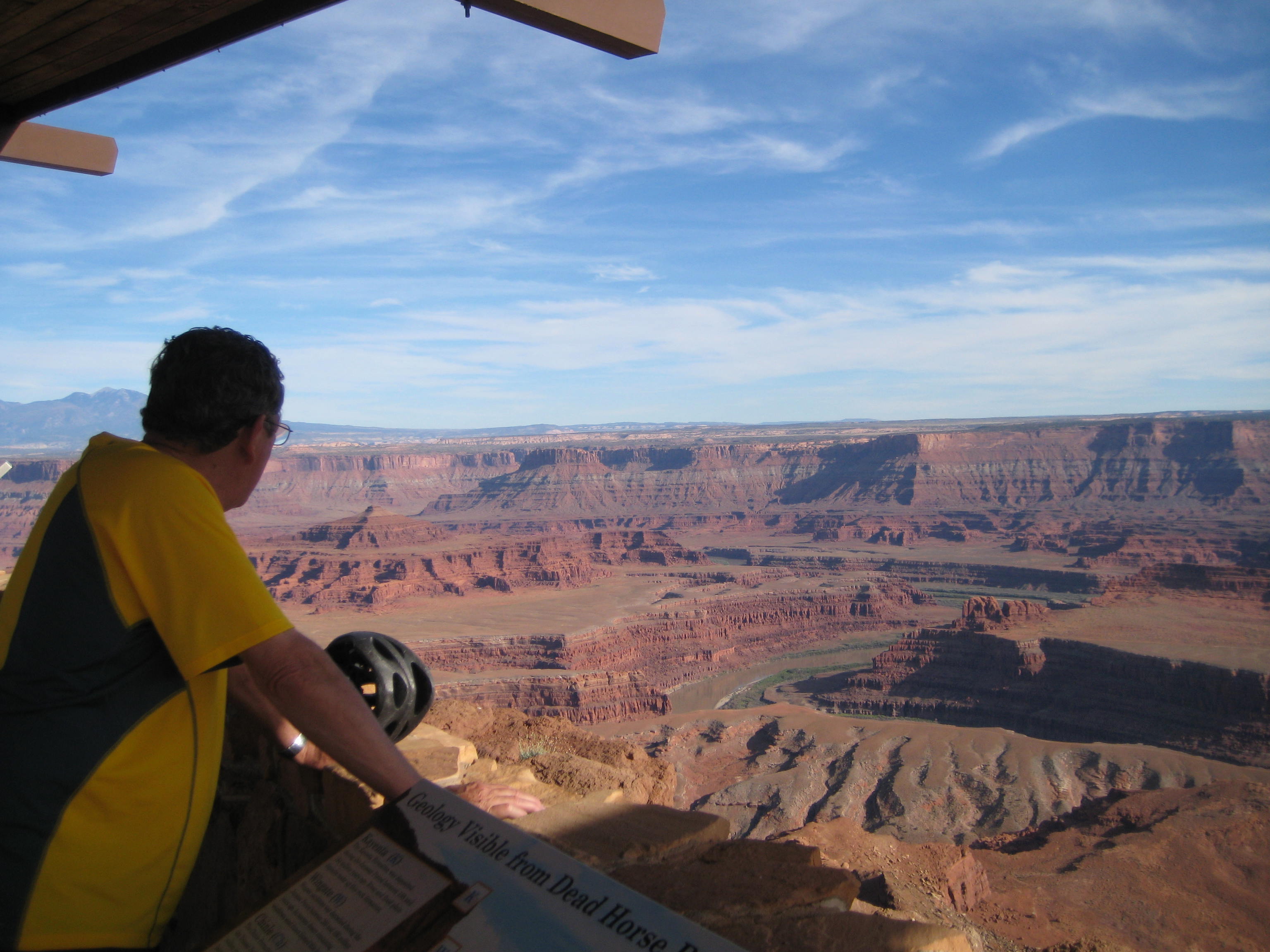
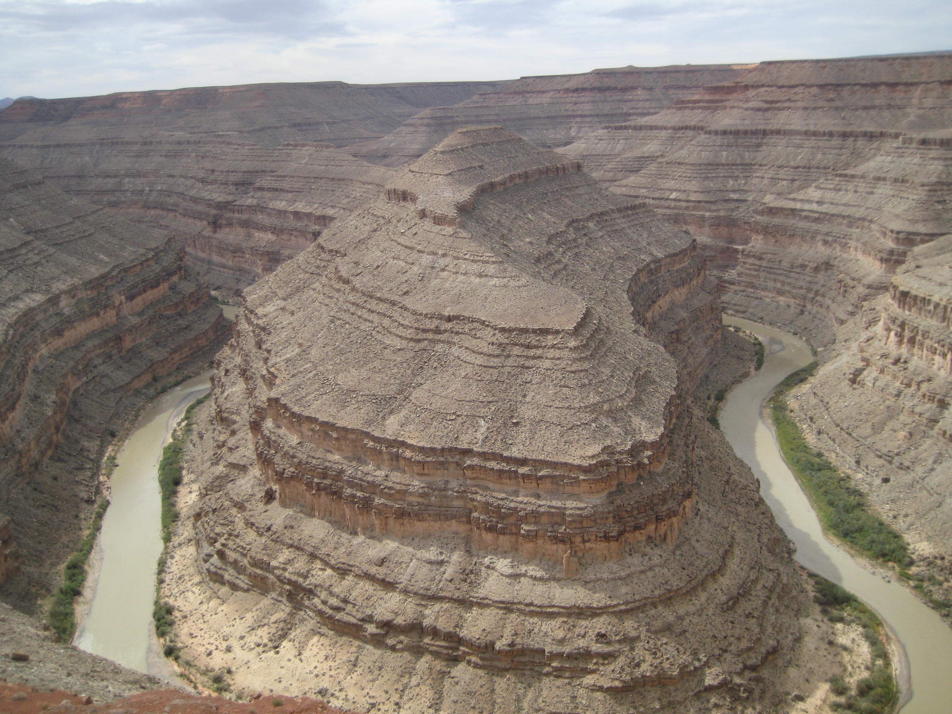
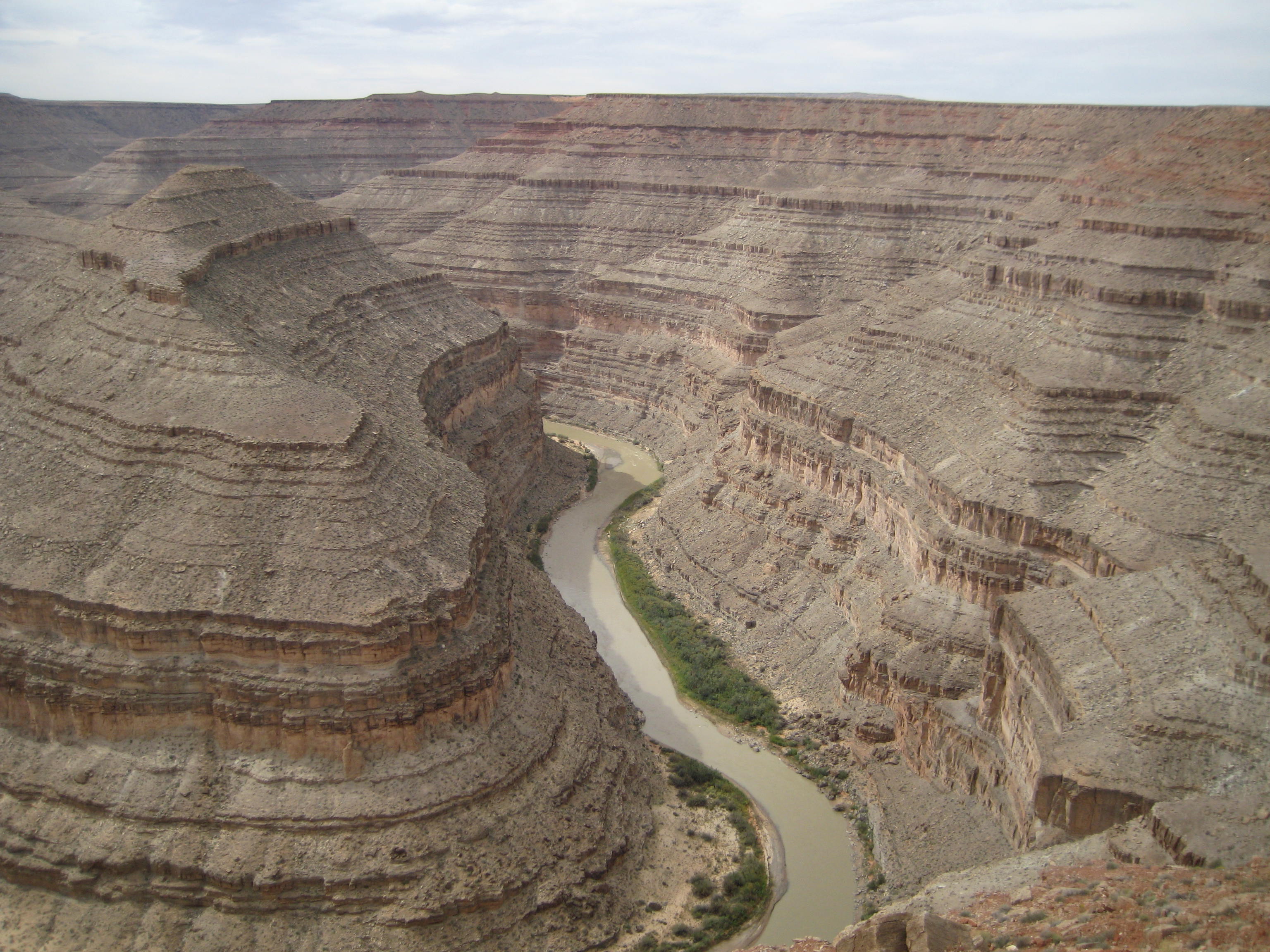
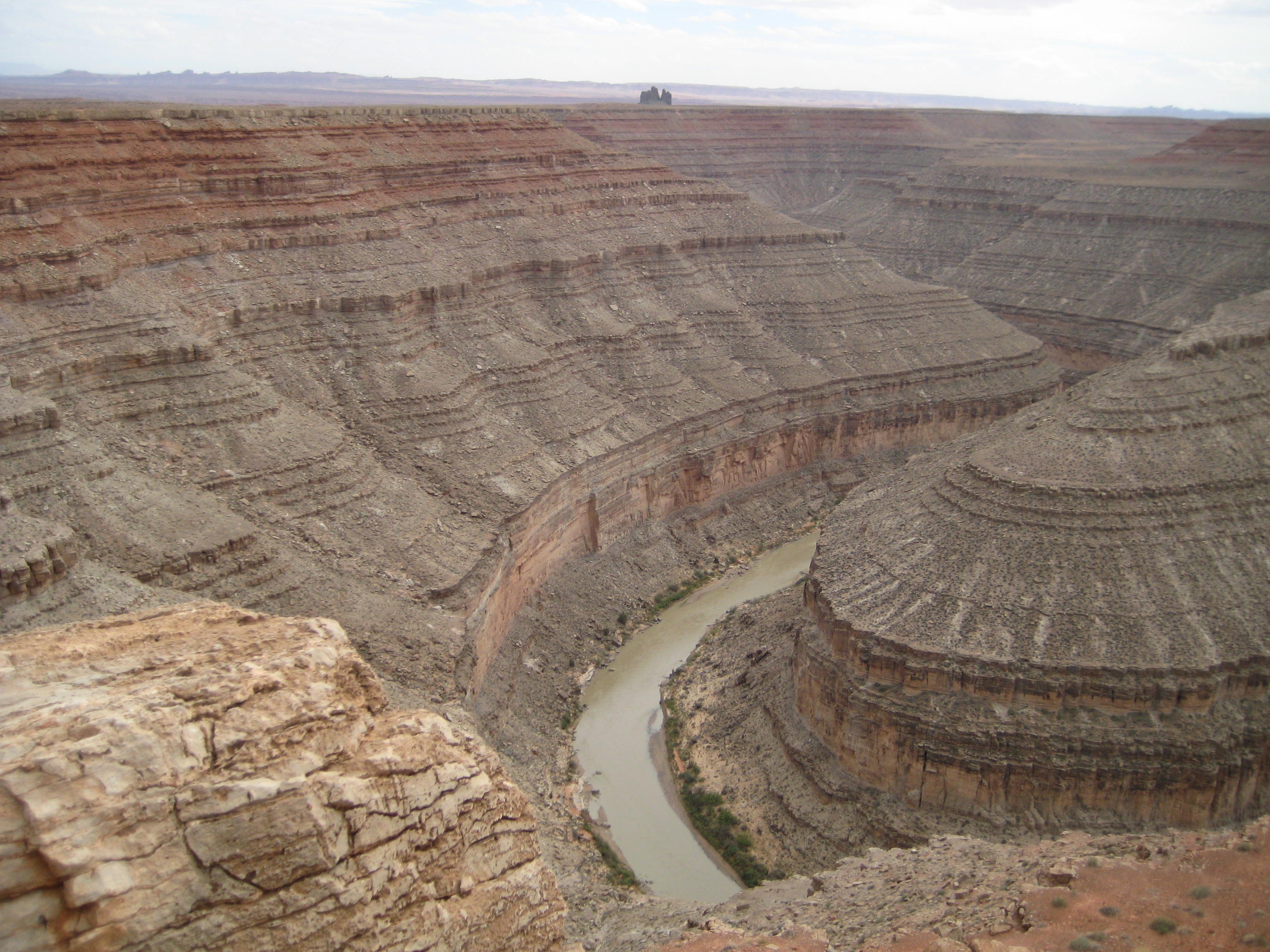
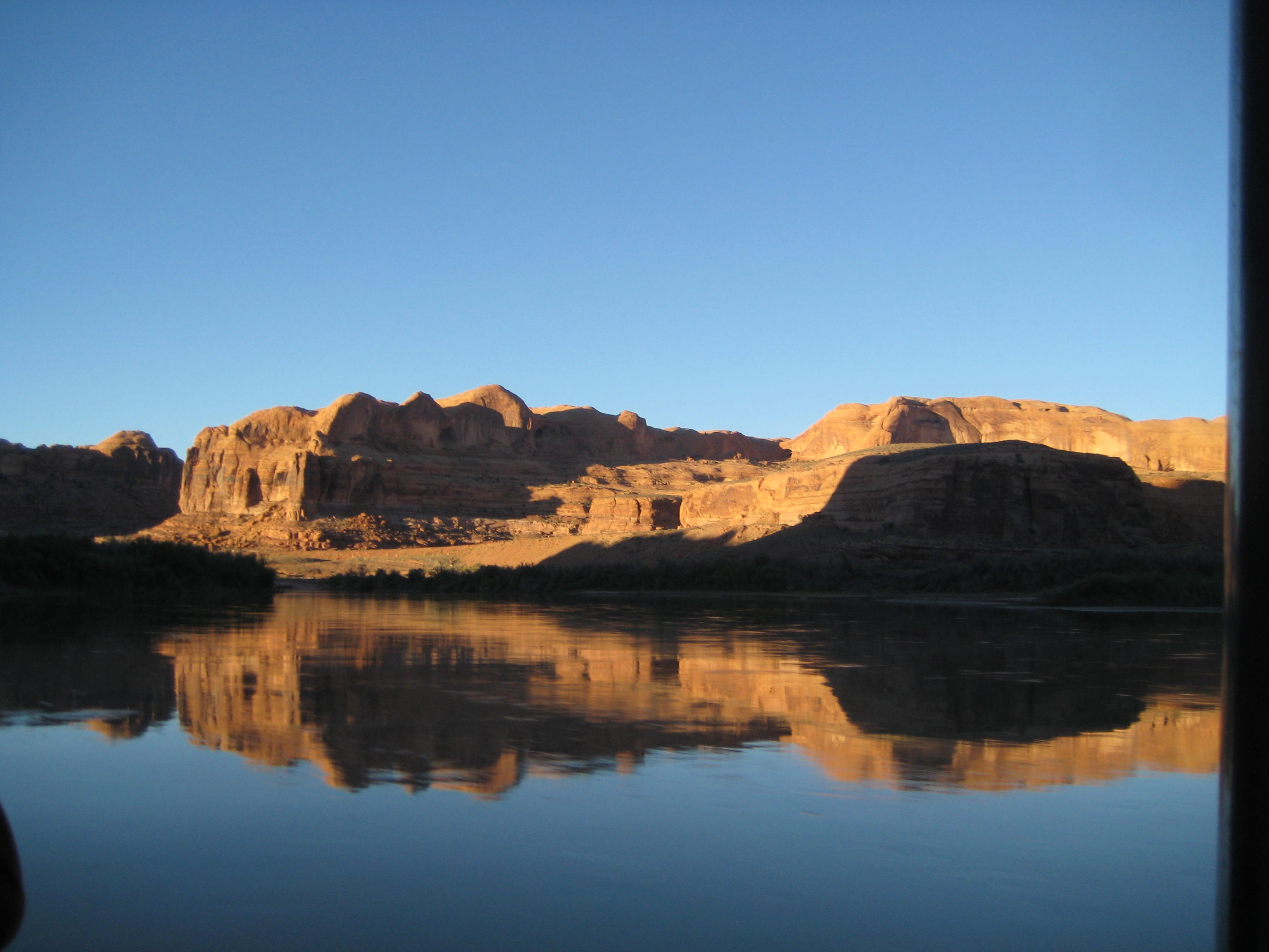
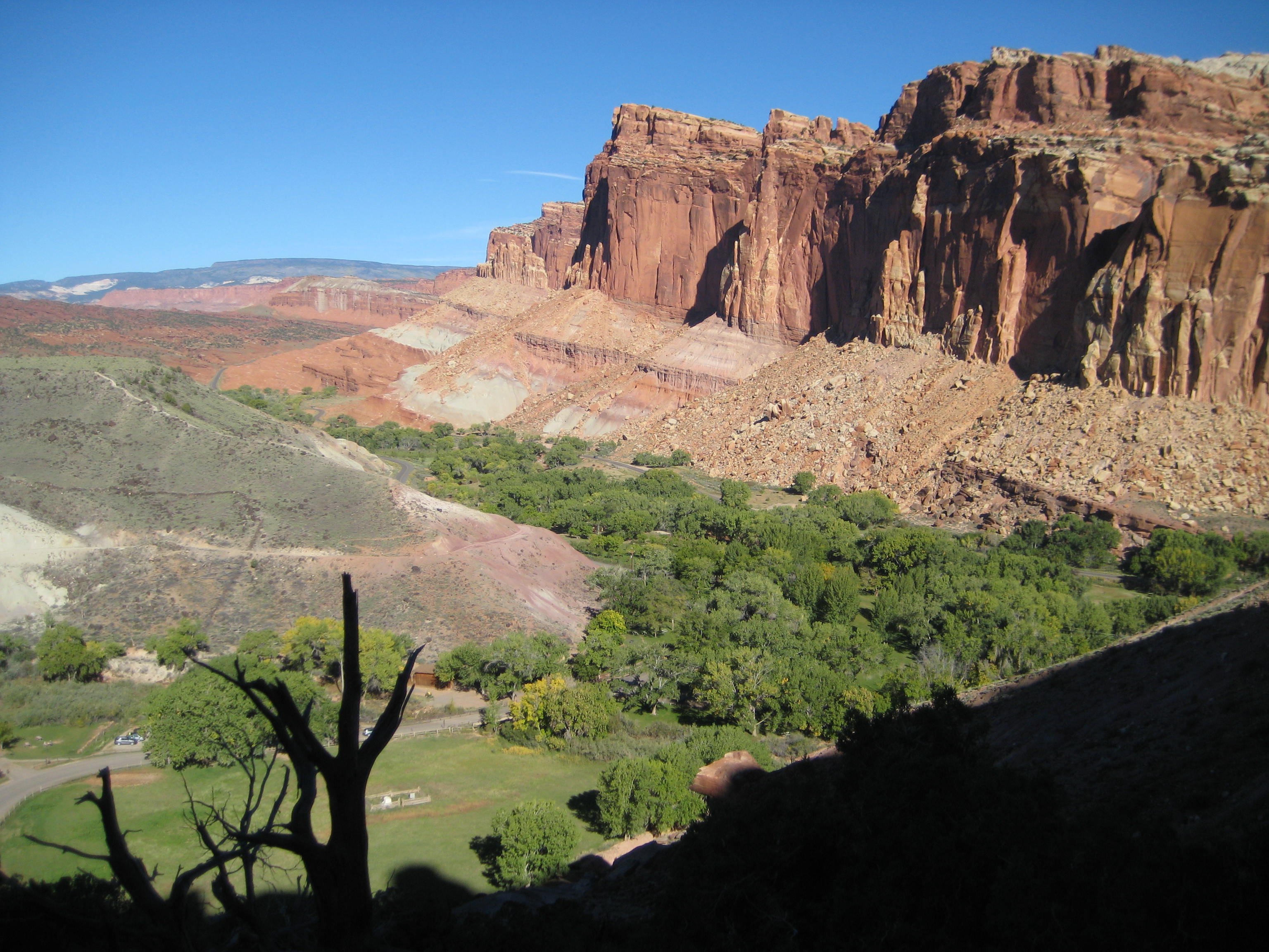
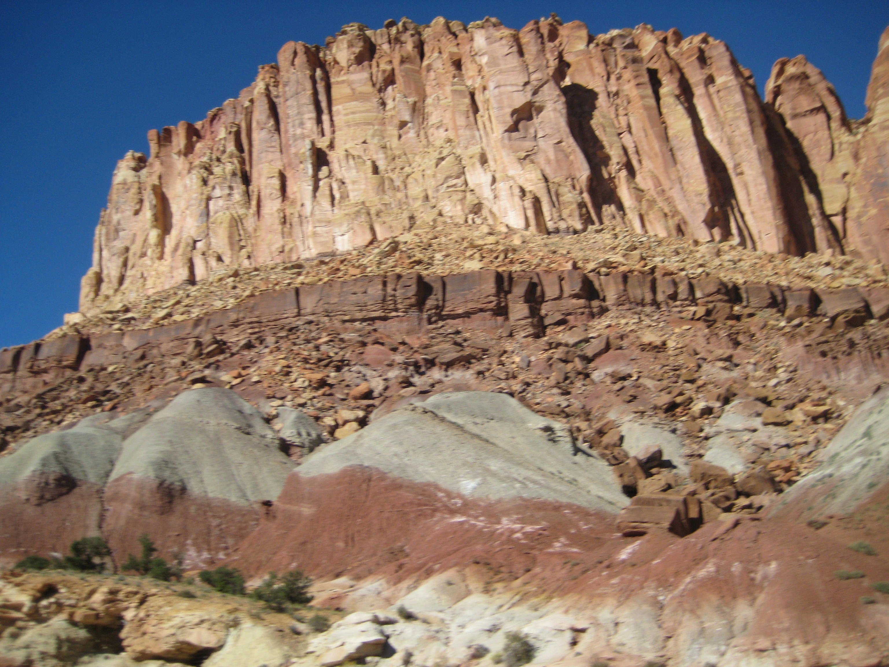
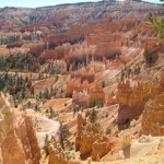
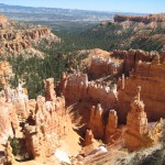
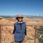
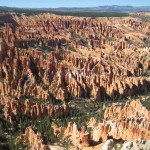
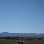
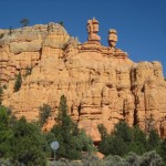
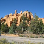
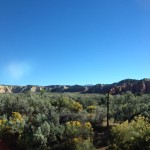
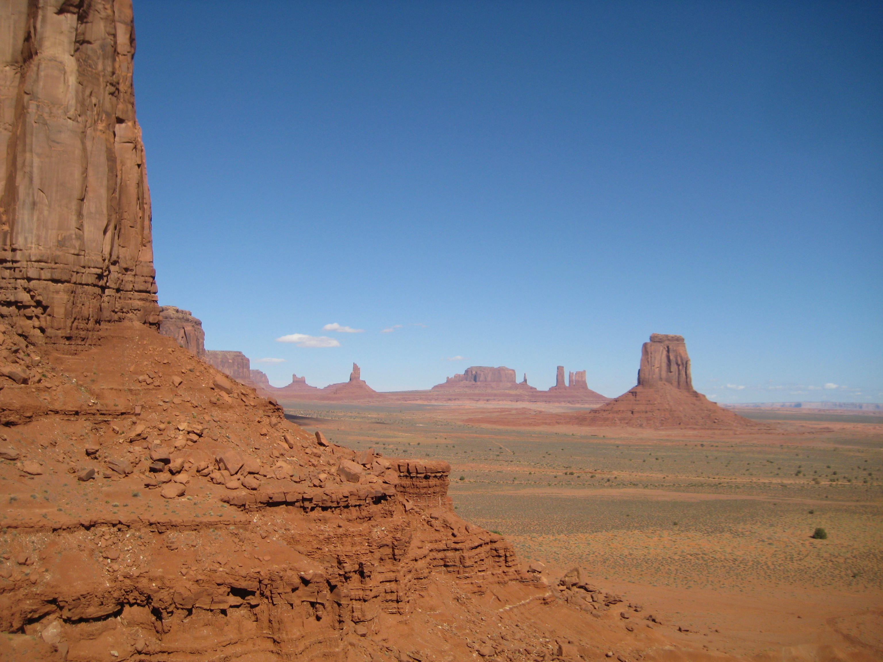
Grand View of Monument Valley
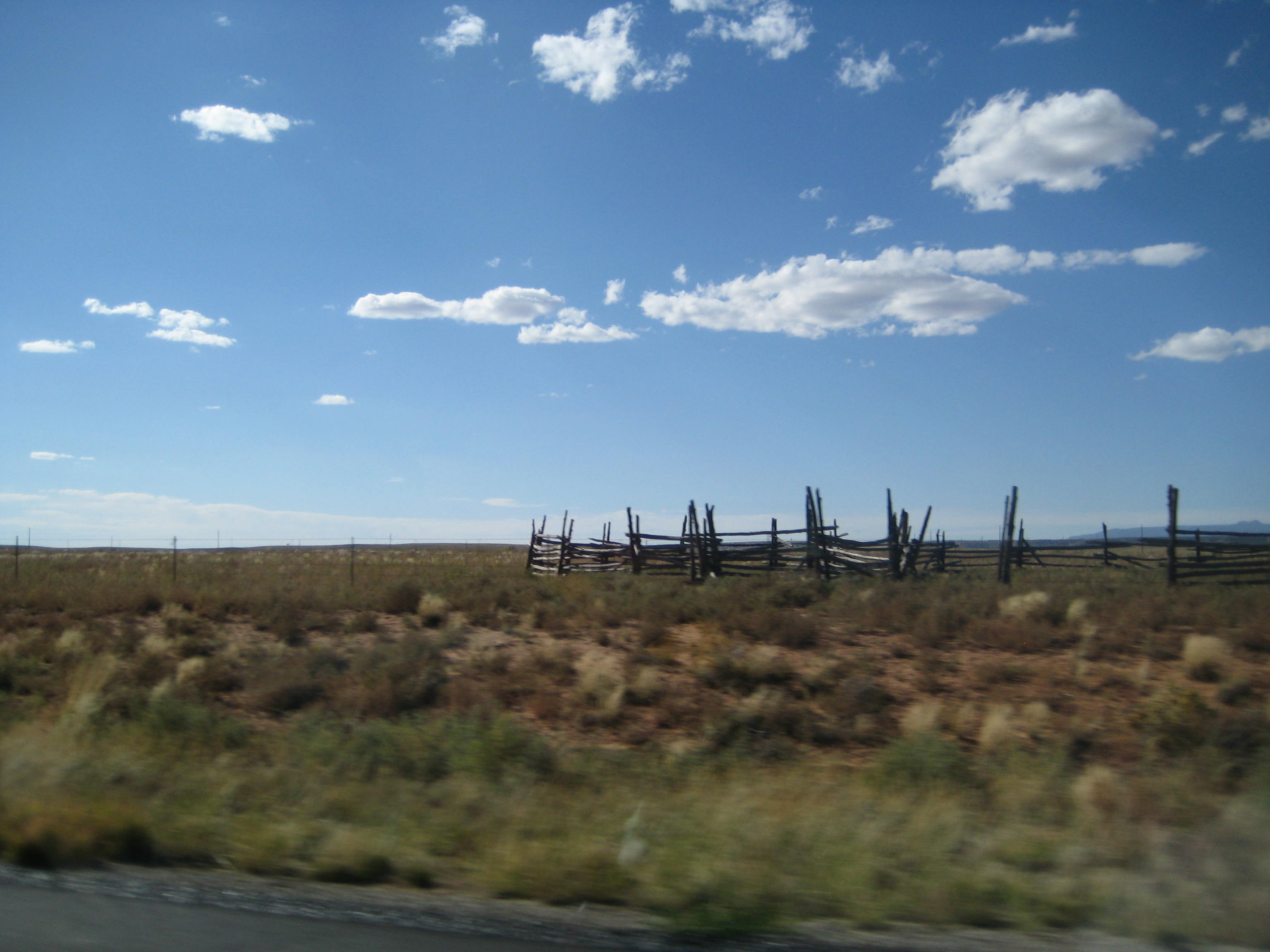
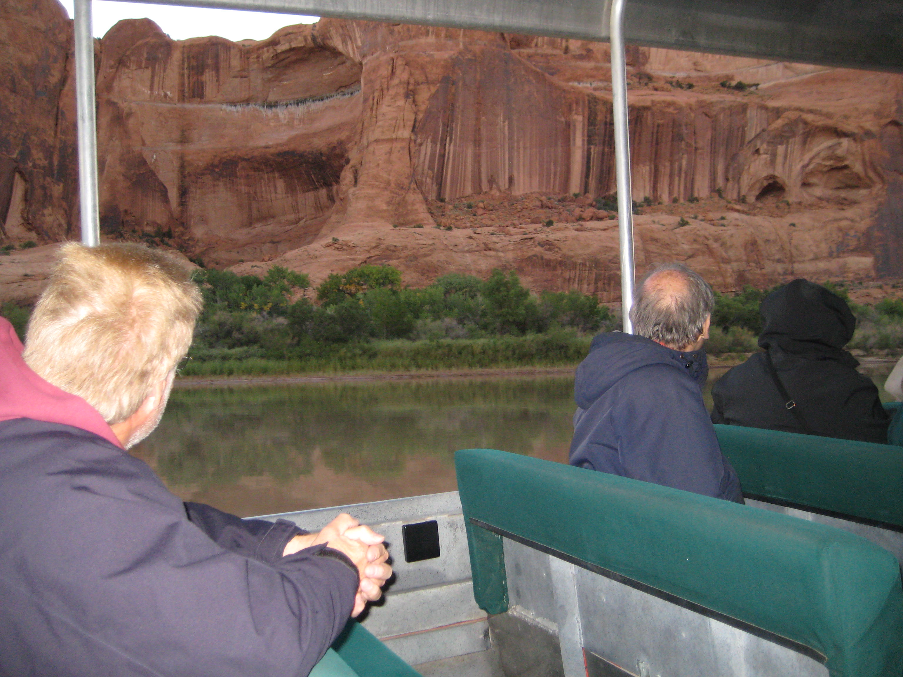
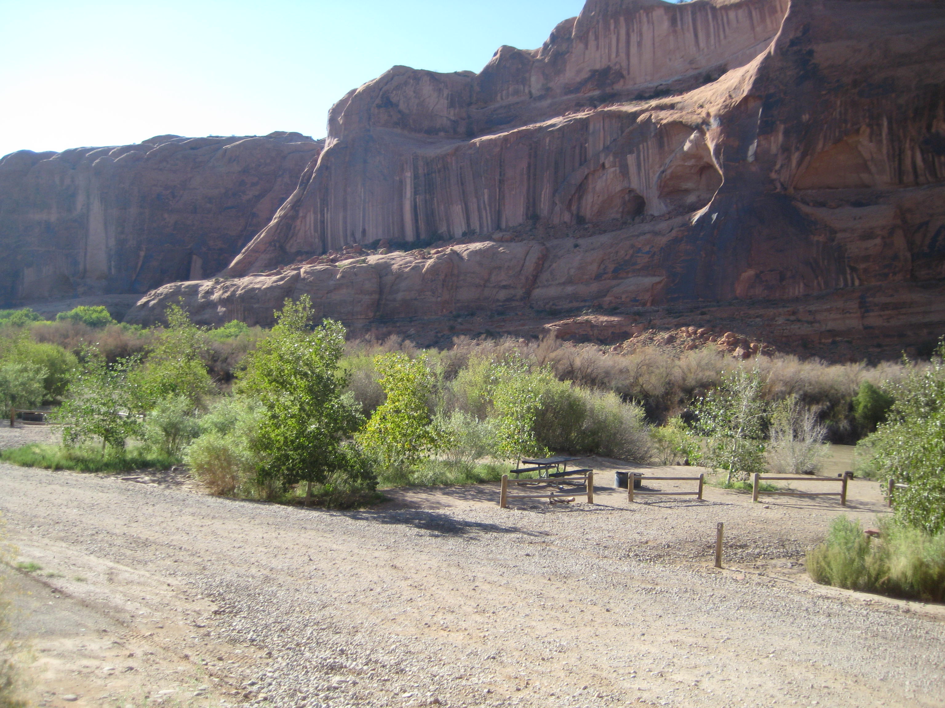
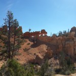
We took a Gouldings Tour through Monument Valley and for 3 1/2 hours our Navajo guide kept me glued to the seat listening to her stories about living as a Navajo. We saw petroglyphs, natural arches, Anasazi ruins, and movie locations in addition to the famous monuments.
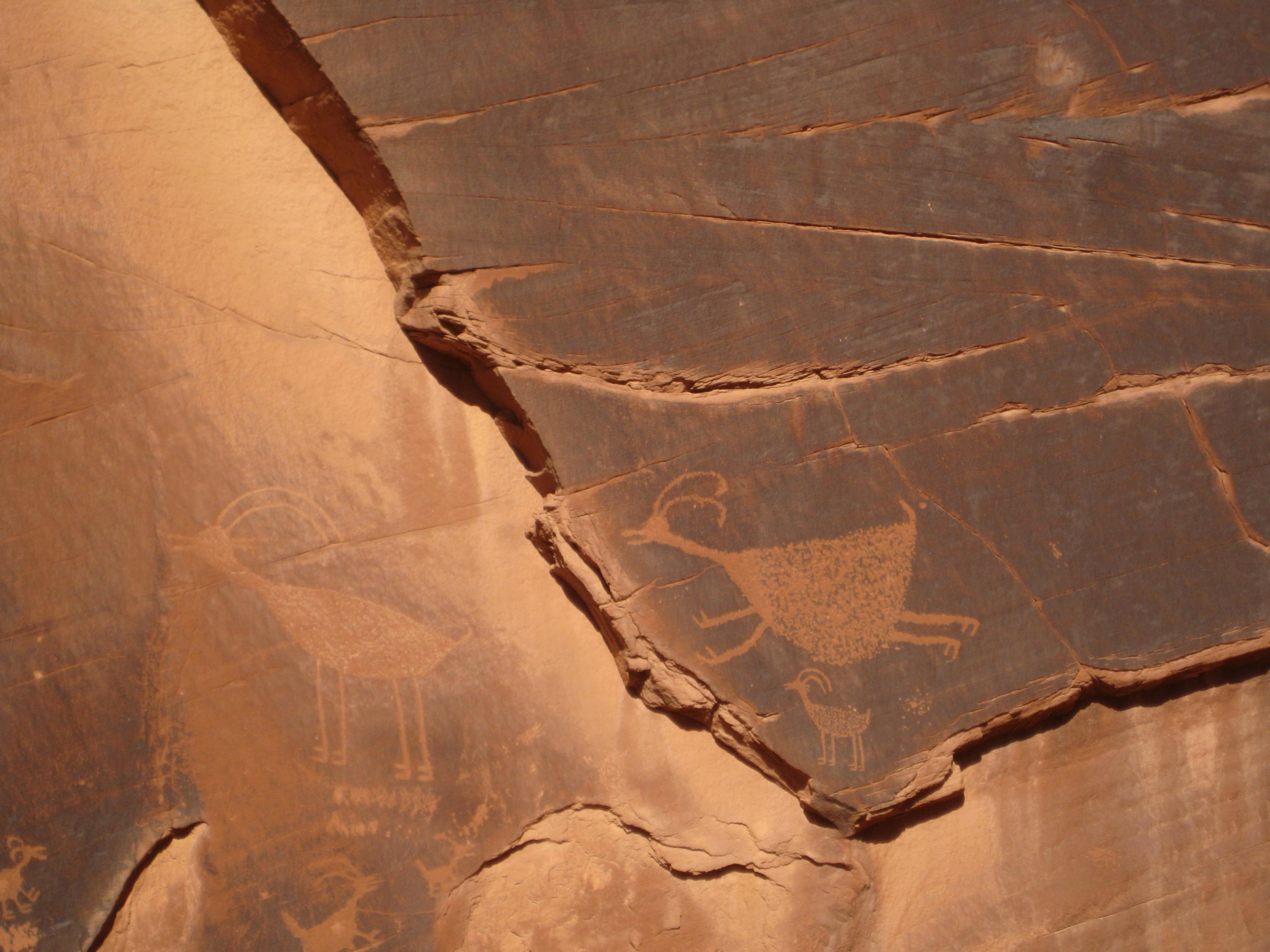
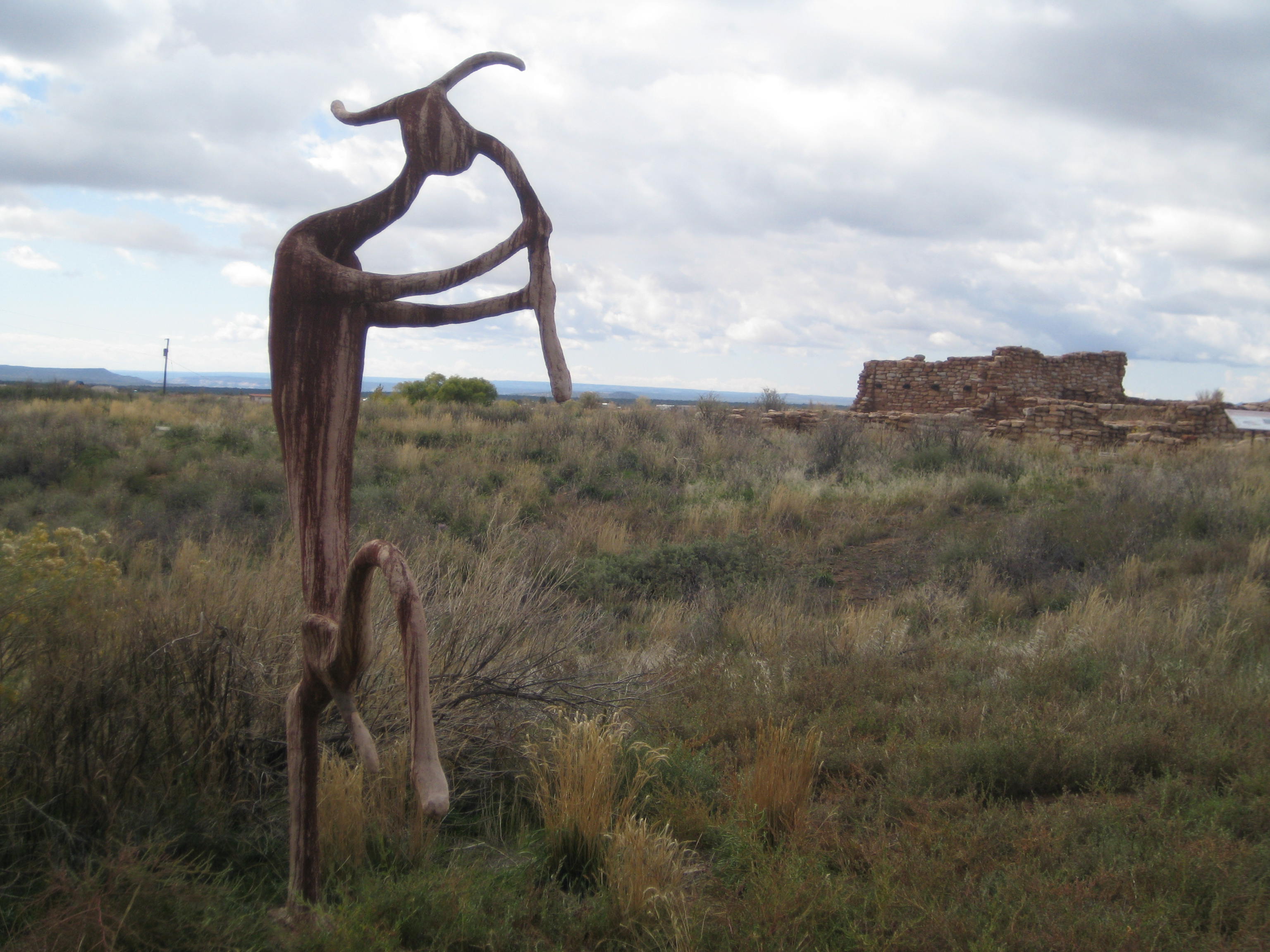
Petroglyph of ancient people

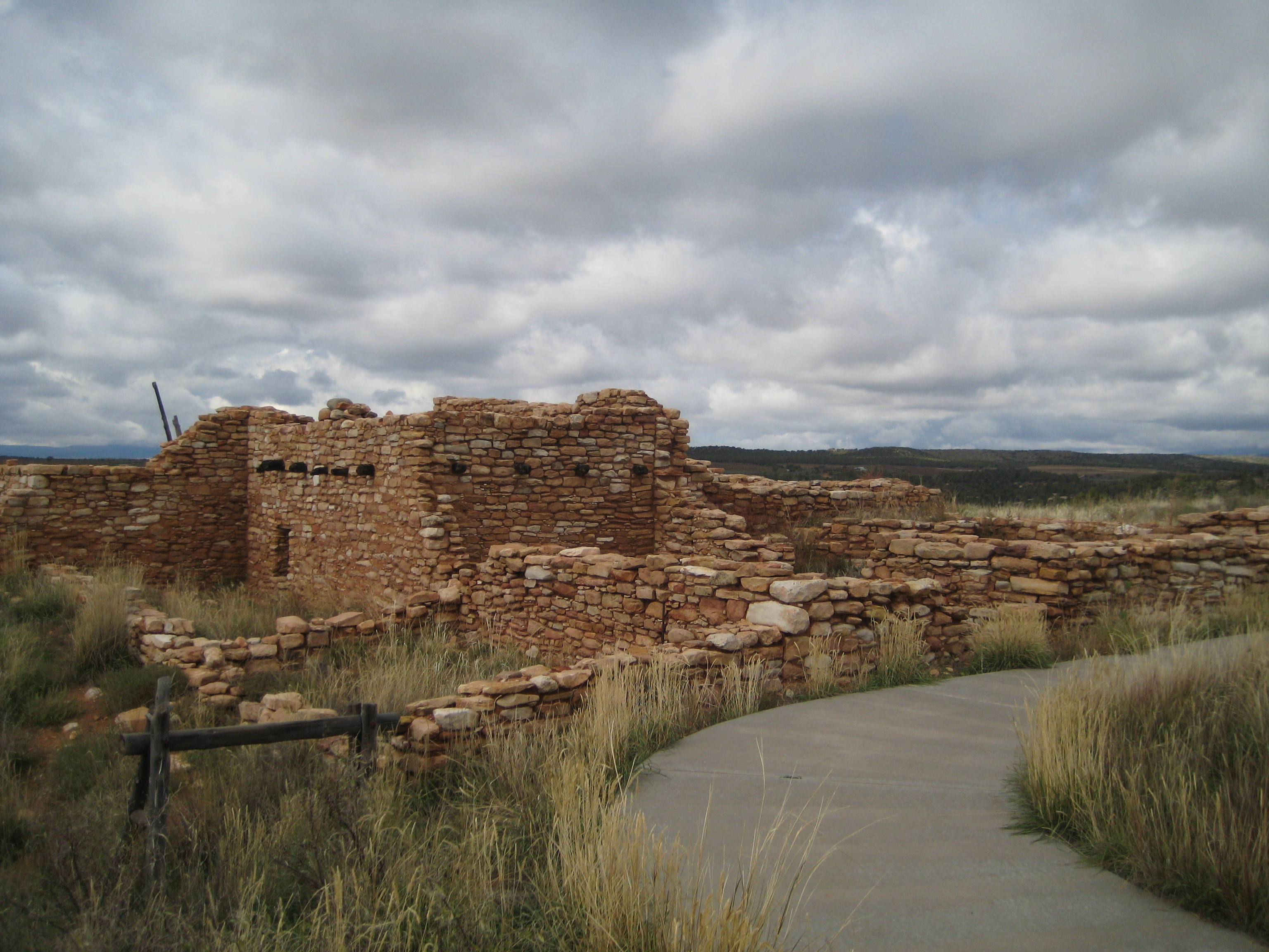
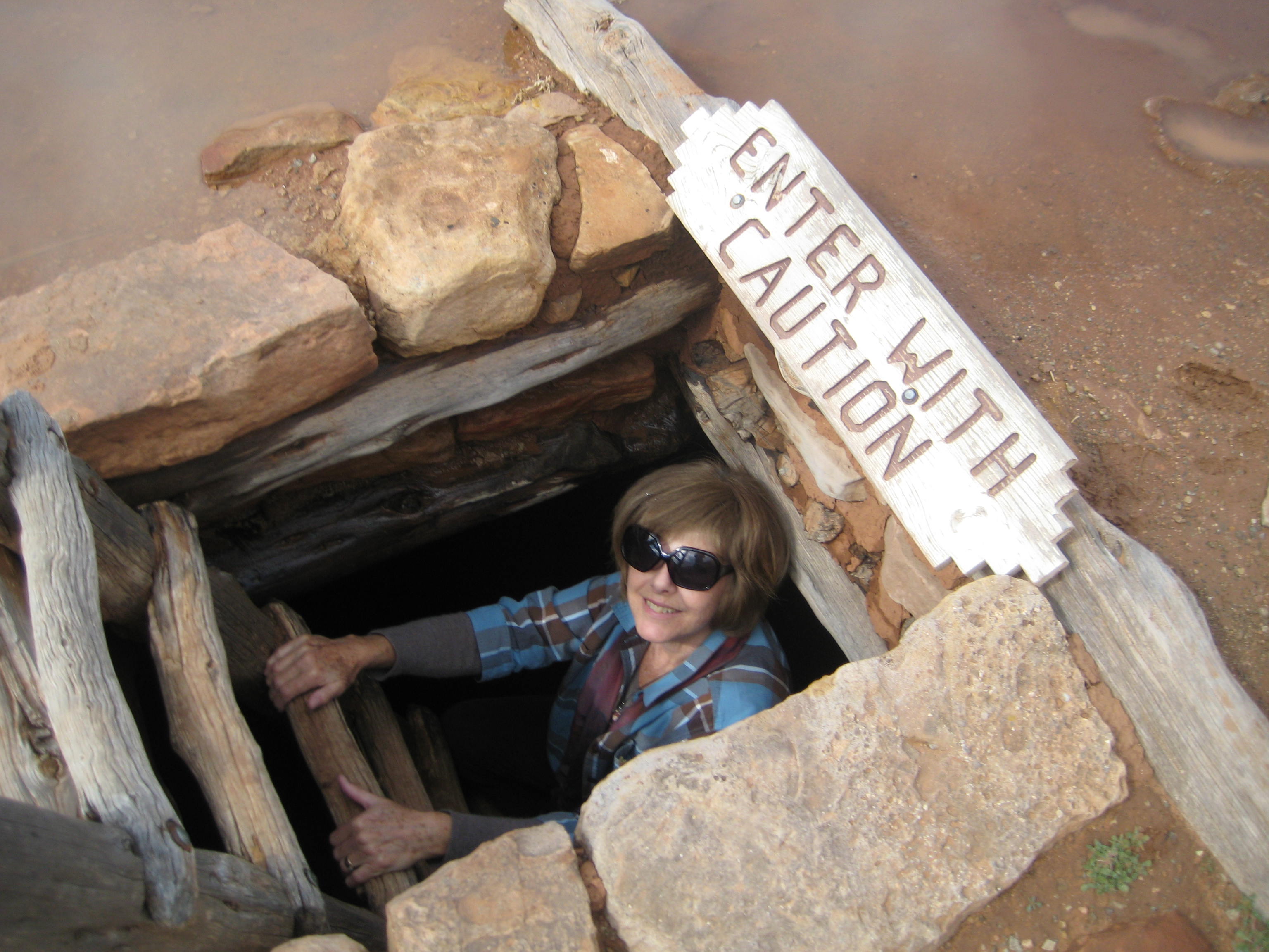
Site of ancient puebloans
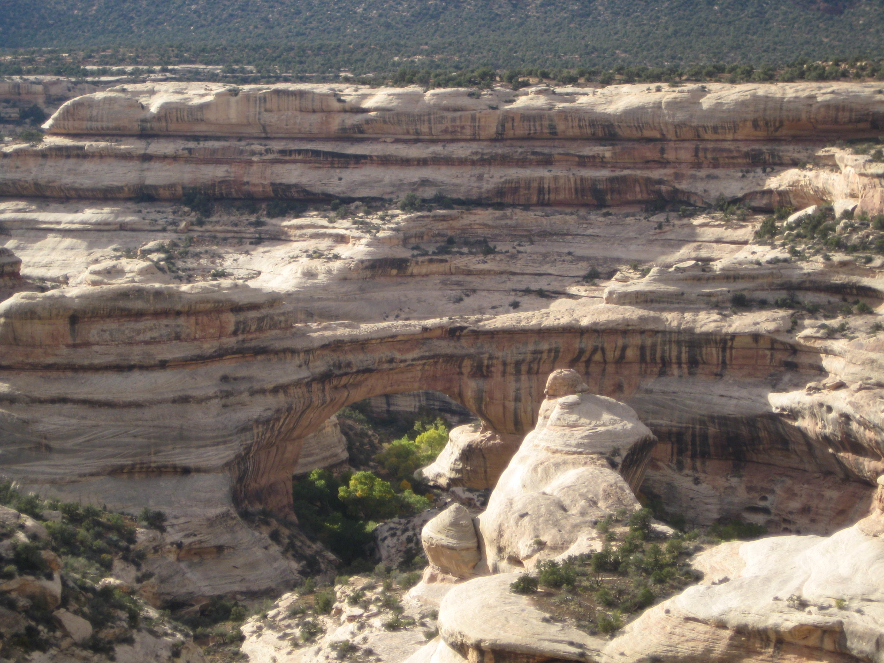
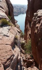
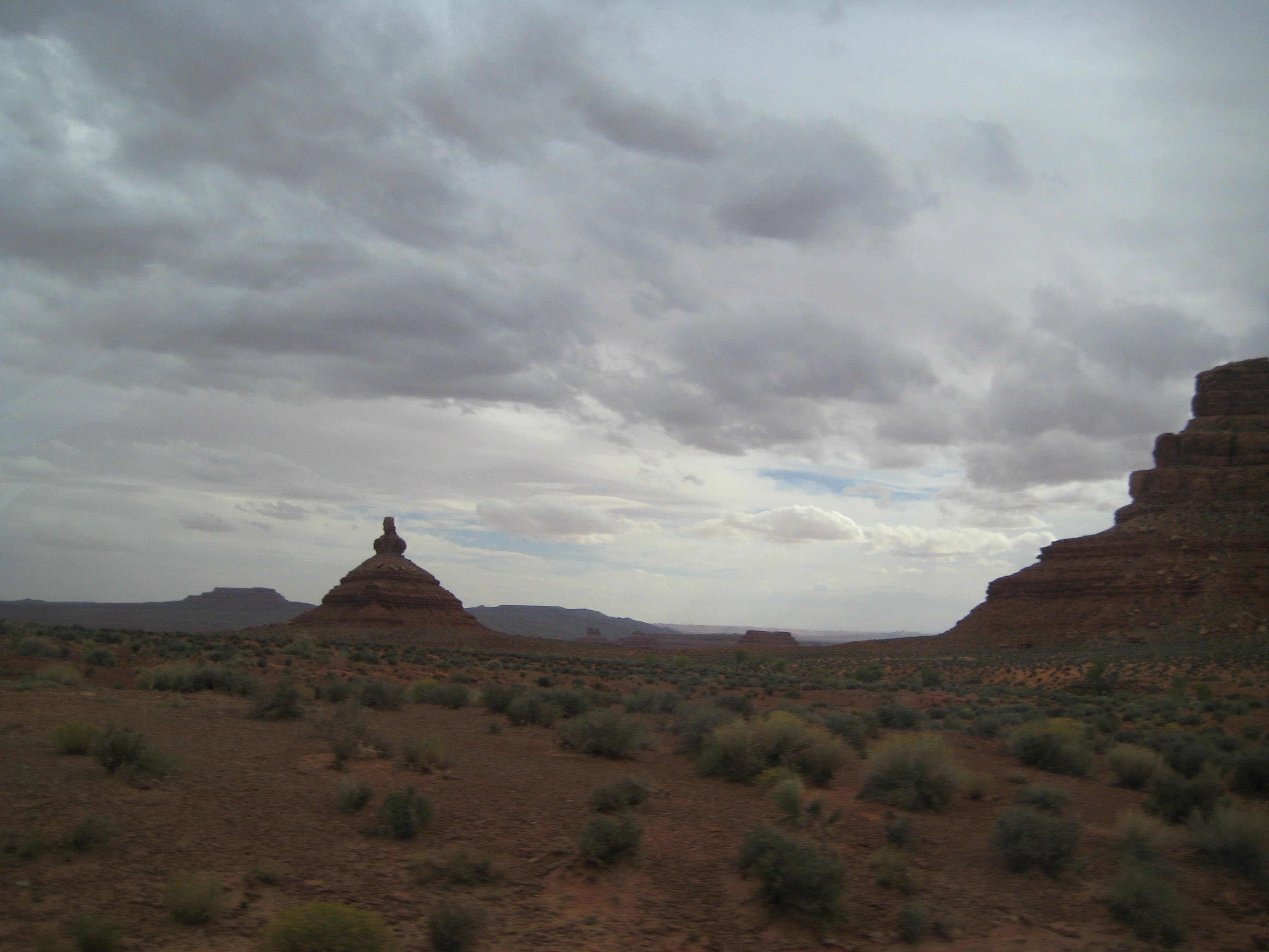
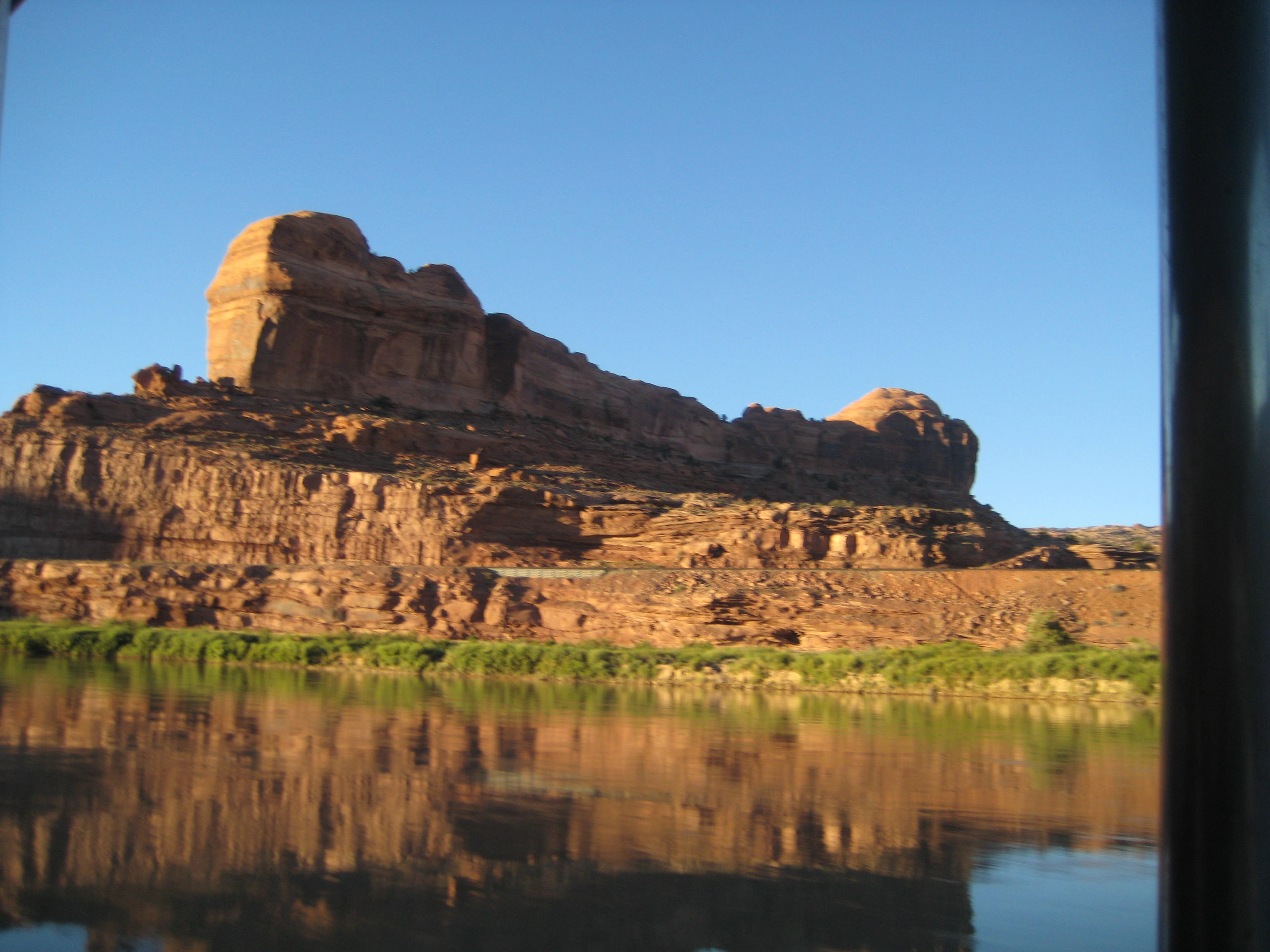
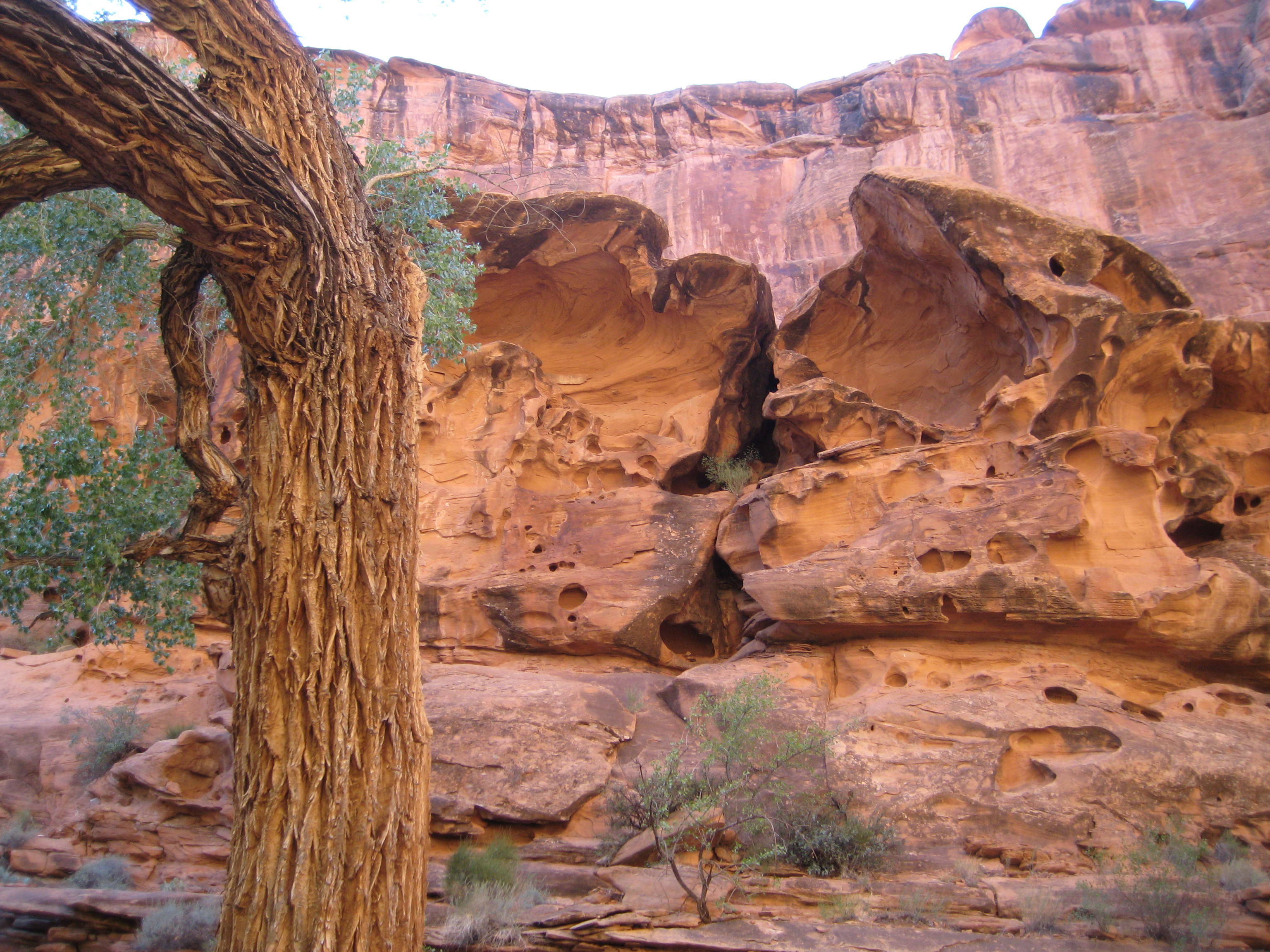
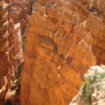
A natural bridge in Monument Valley
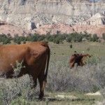
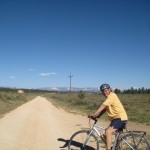
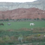
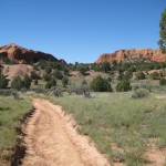
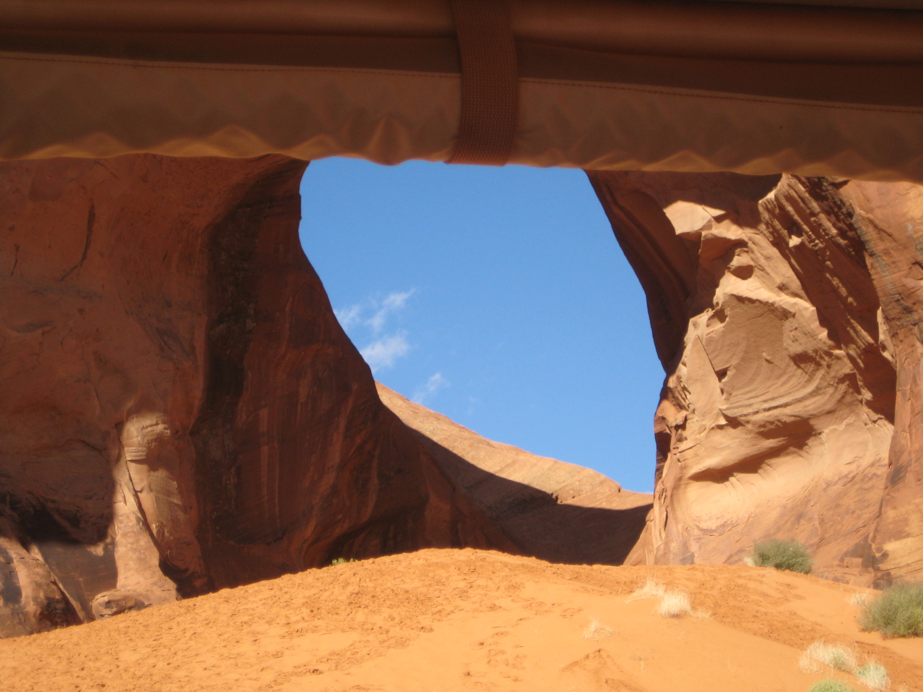
The tour was an open-air truck like transport and was freezing cold when we started at 8:30 a.m. The Navajos obviously don’t believe in road improvement so there is much jarring and jolting as the truck drives down gullies and deeply rutted dirt roads. We all scrambled out to stretch our legs when the truck stopped, a welcome relief from the bouncing ride. What can be more beautiful than seeing horses run wild across the Mesa, sun lighting the canyon, blue sky peeking through round sandstone rock openings, rolling mounds of tan sand to climb, and the freshness of an autumn morning?
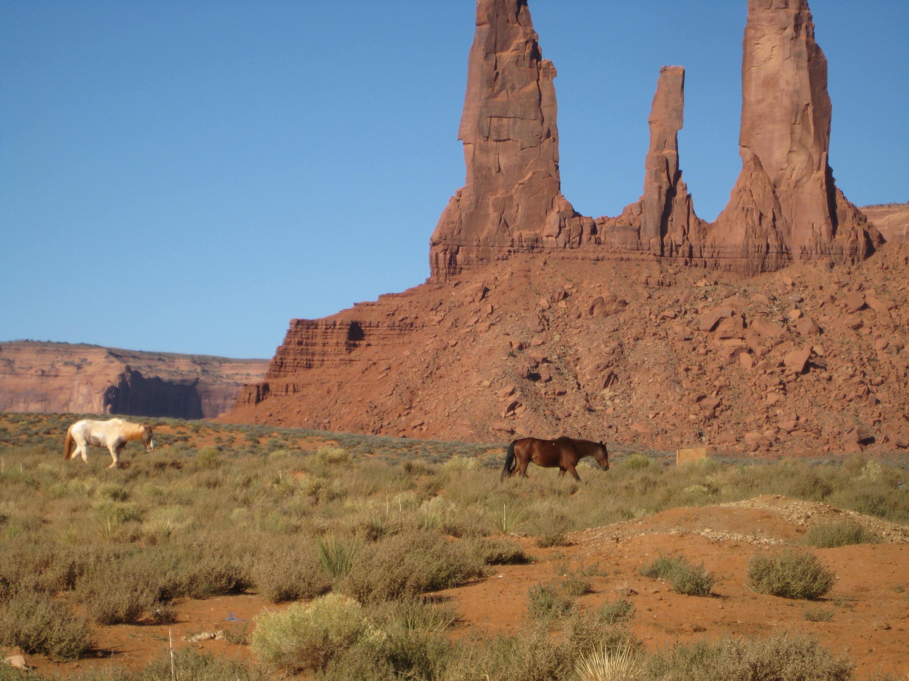
Wild horses in Monument Valley
Navajo Kivas, Monument Valley
Carol, our Navajo guide, told us about learning to herd sheep as a young girl and being left on the top of a Mesa with the sheep for a week at a time. She learned how to catch and butcher small animals for food. She was 10 hears old. I loved her gentle, calm manner of speaking, so unpretentious and down-to-earth.
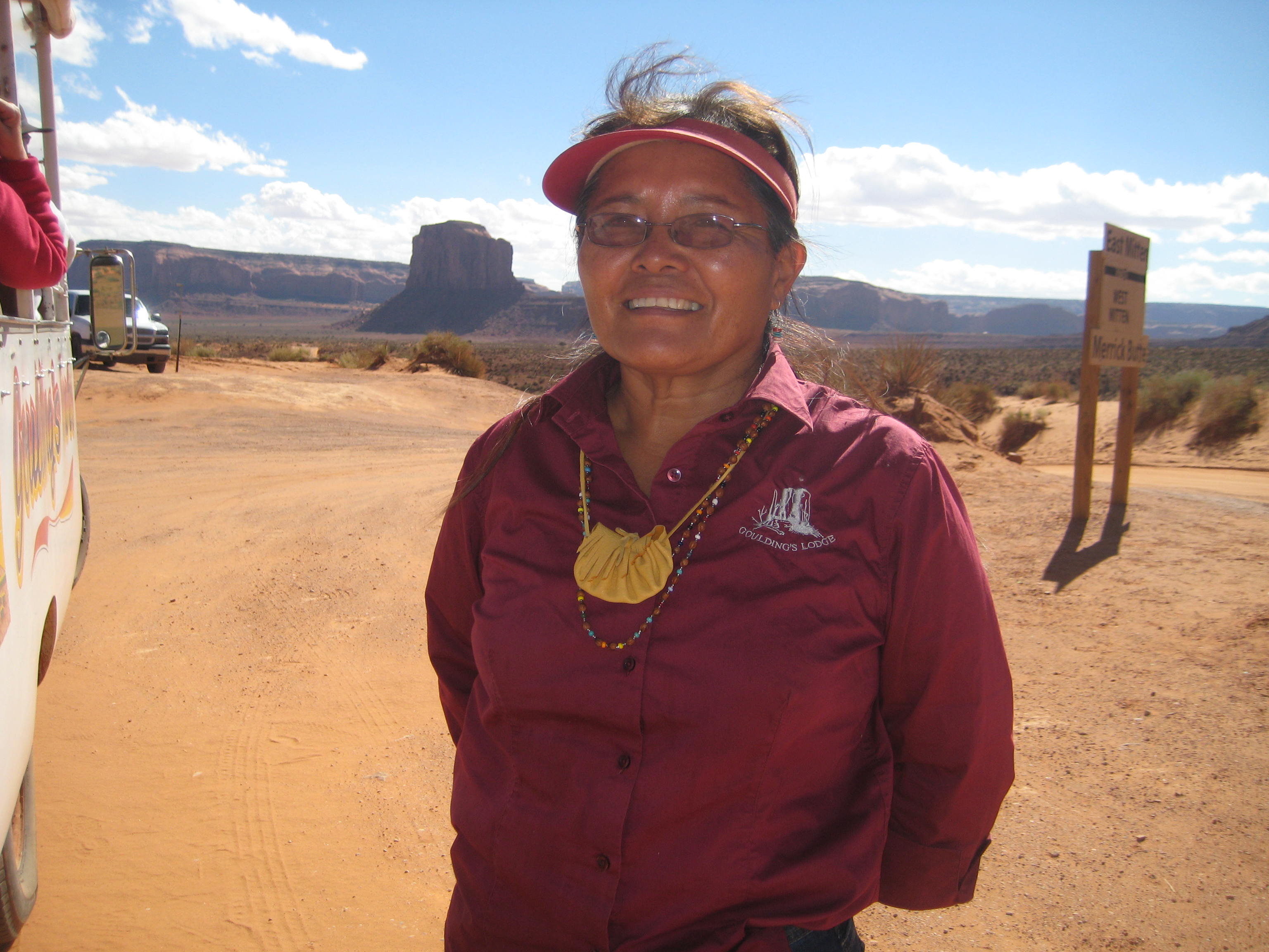
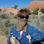
Carol, Our Navajo Guide
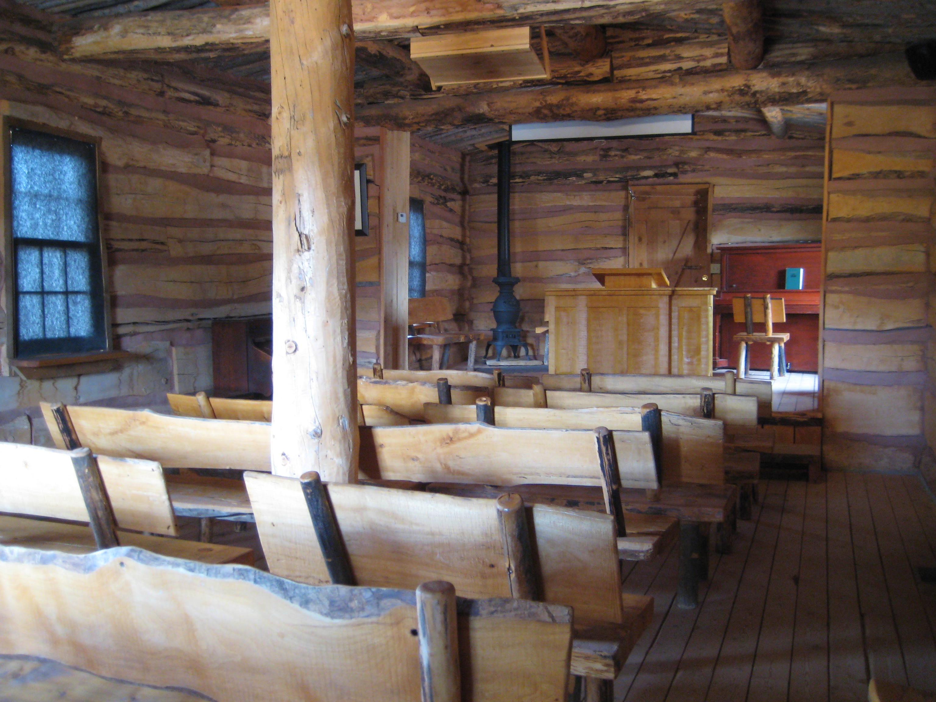
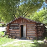
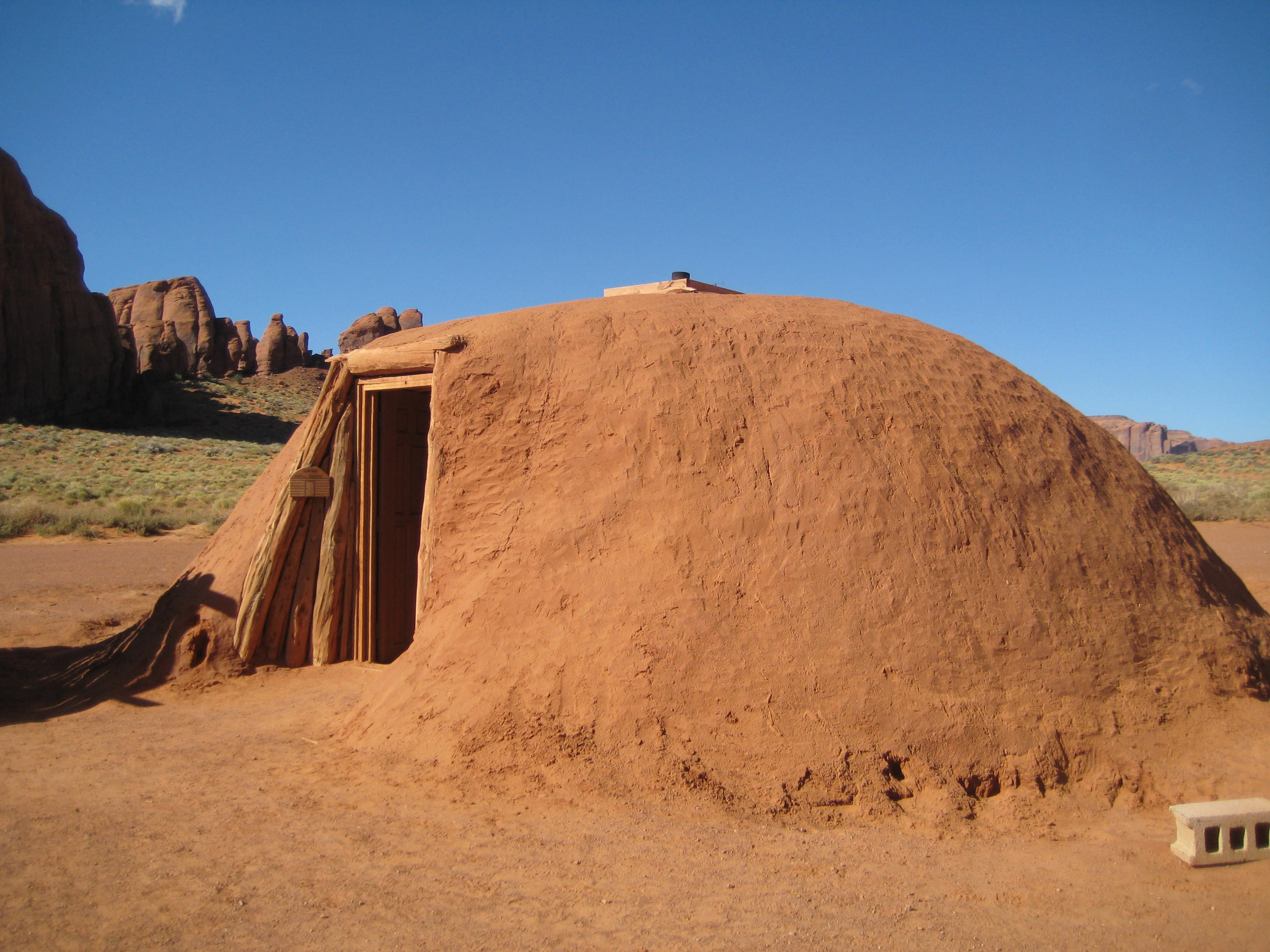
The hogans were amazing structures with logs laid in a hexagon-shaped manner on support logs. There are only a few Navajos that know how to build the hogan and they are consulted for the building. Once built, the outside is covered with sandstone mud until it is smooth. Inside the hogan, it felt quite comfortable and cozy with more space that imagined.
Navajo Kiva
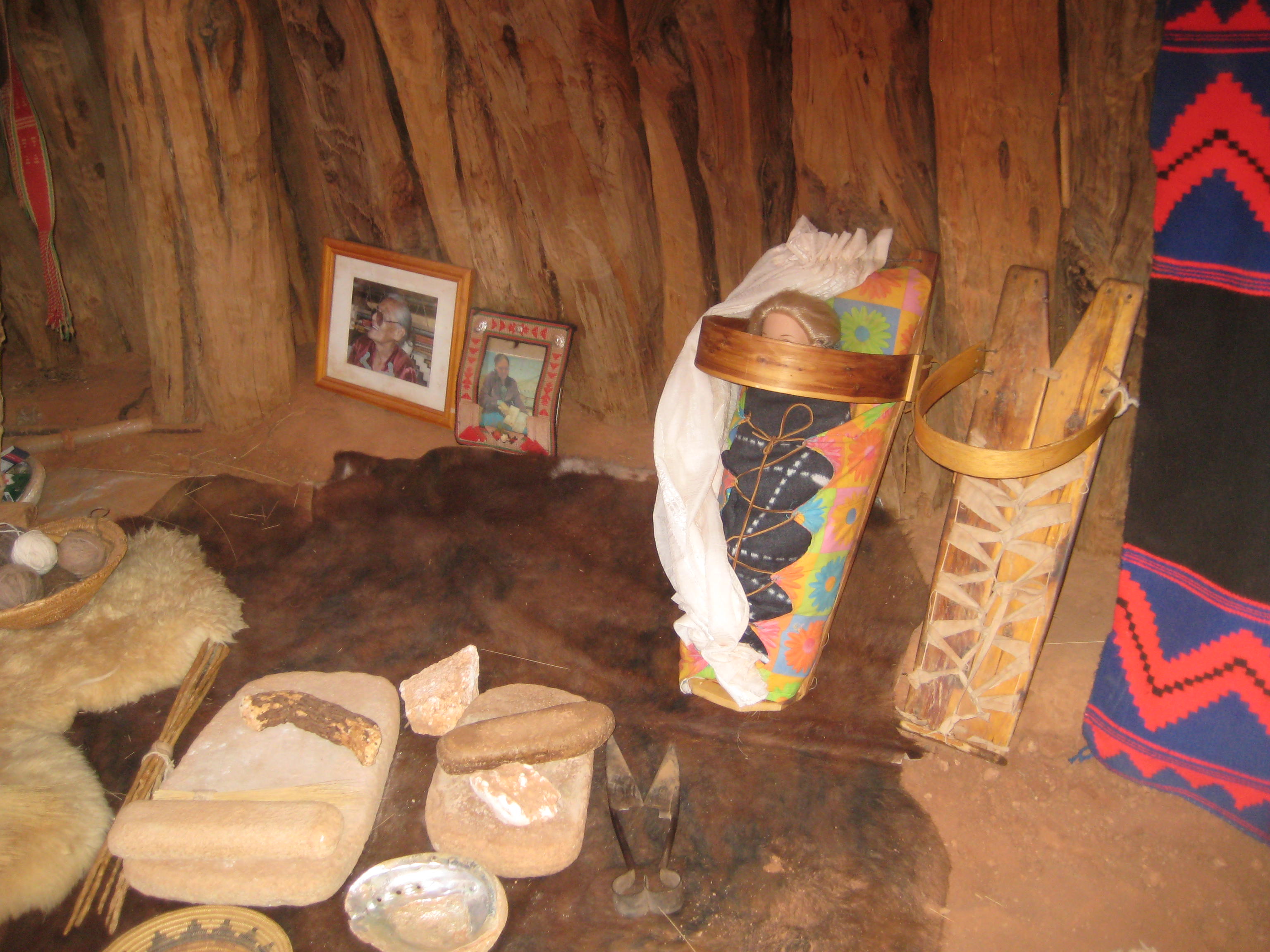
Navajo Cradleboard to the right
We watched a Navajo lady make yarn from sheep wool, card the wool, spin the yarn, and weave the rug. The babies were strapped in a cradleboard for the first few years of life. To give birth, the mothers hands were tied to the wood logs of the hogan roof and straps around her belly were pulled down by the ladies assisting the birth. Of course my mouth was hanging open in disbelief all the while thinking, trying to imagine what a Navajo birth was like. And then to think of the baby being strapped on a board for the first couple years of life.
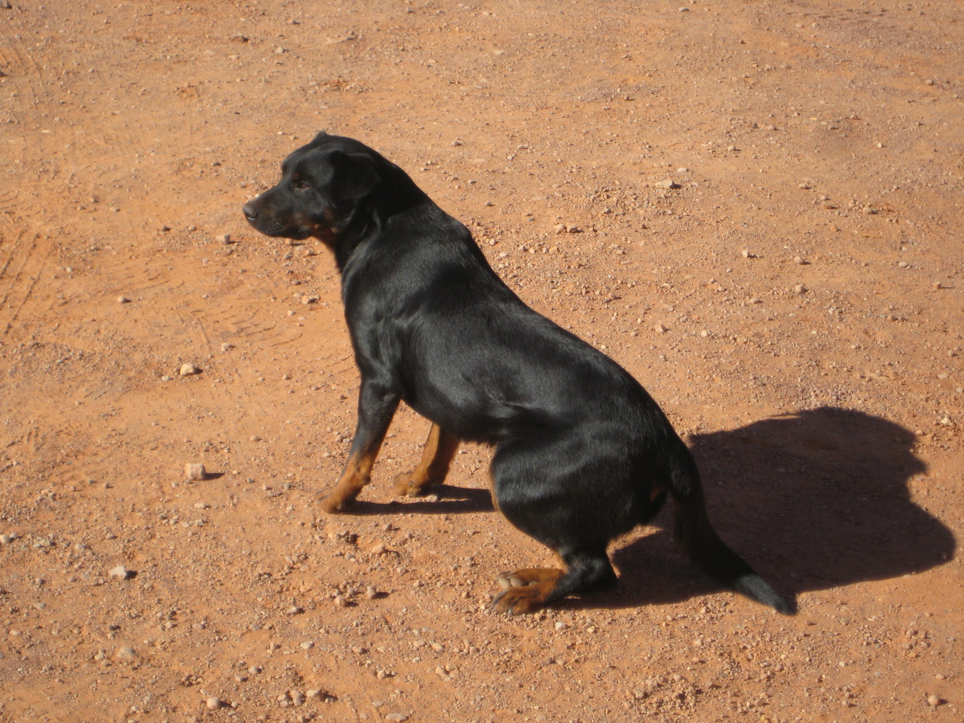
Local Dog Monument Valley
Our driver to and from the Earth Spirit Theater was another gentle, calm, pleasant Navajo youth. It seemed there was nothing he would not do to make us happy. He was not pretentious, he was easy going and pulled you in with his warmth and genuinely helpful nature. We took the shuttle from our campground to the Earth Spirit Theater for the 8 o’clock John Wayne movie which happened to be “Stagecoach” the Saturday night we were there. How thrilling to see this movie in the setting where it was filmed. Stagecoach was the first film made in Monument Valley in 1938 and propelled John Wayne as a star.

Natual bridge, Monument Valley
You’ve seen this landscape in a John Wayne movie
Next to the Theater was the room used as a set for the movie, “She Wore a Yellow Ribbon.” Our driver shuttled us back to camp after the movie, keeping us smiling with his friendly conversation. Sunday night he picked us up so we could view the Earth Spirit film and a documentary about Monument Valley. He ran the documentary once for us and again at the regular time. He also ran the first fifteen minutes of “The Searchers” for us between scheduled movies. Then he shuttled us back to camp; but first when I expressed how grand it would be to see the whole movie “The Searchers” while in Monument Valley, he drove us to the Lodge where he said we could rent the DVD, which we did. There was a half moon shining on the canyon wall as we arrived back at camp and his helpfulness left such a warm feeling, it all felt magical. We popped popcorn and watched The Searchers before retiring by the light of the moon our last night in Monument Valley.
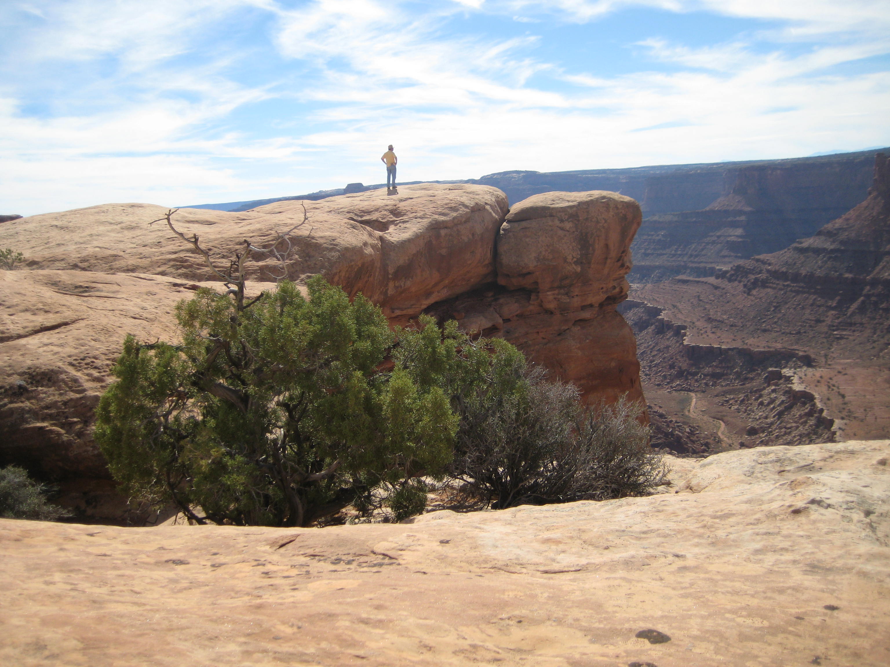
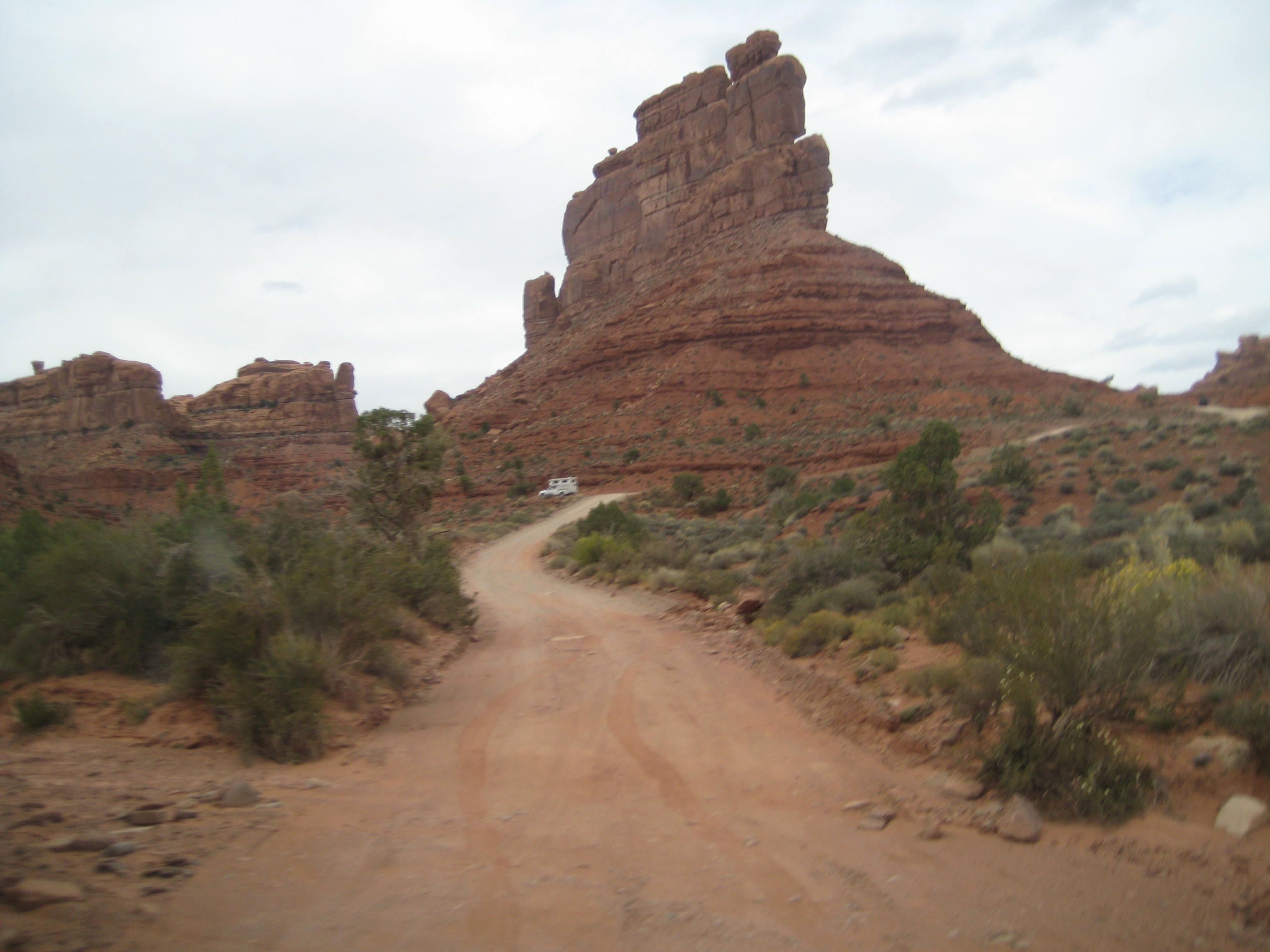
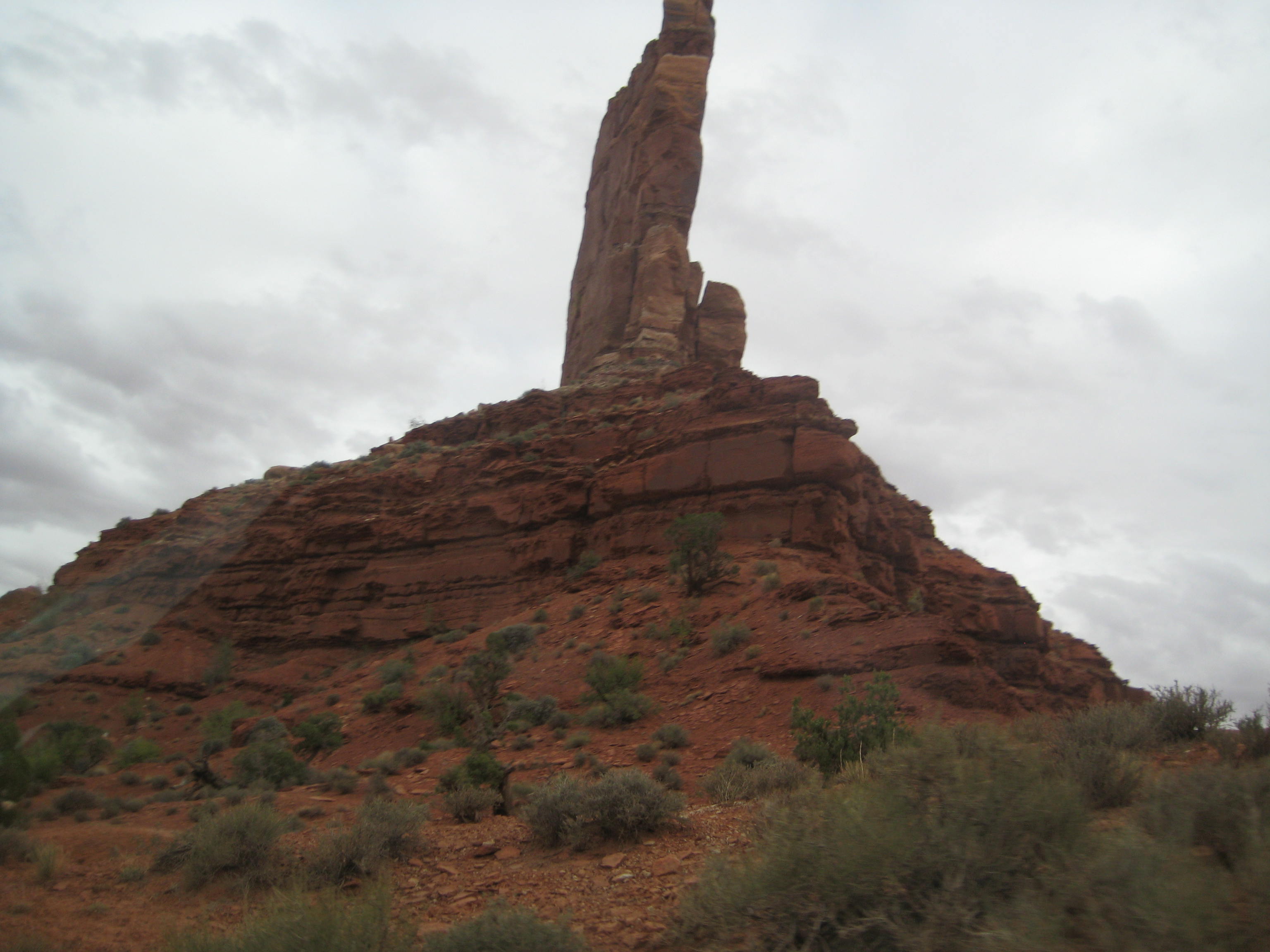
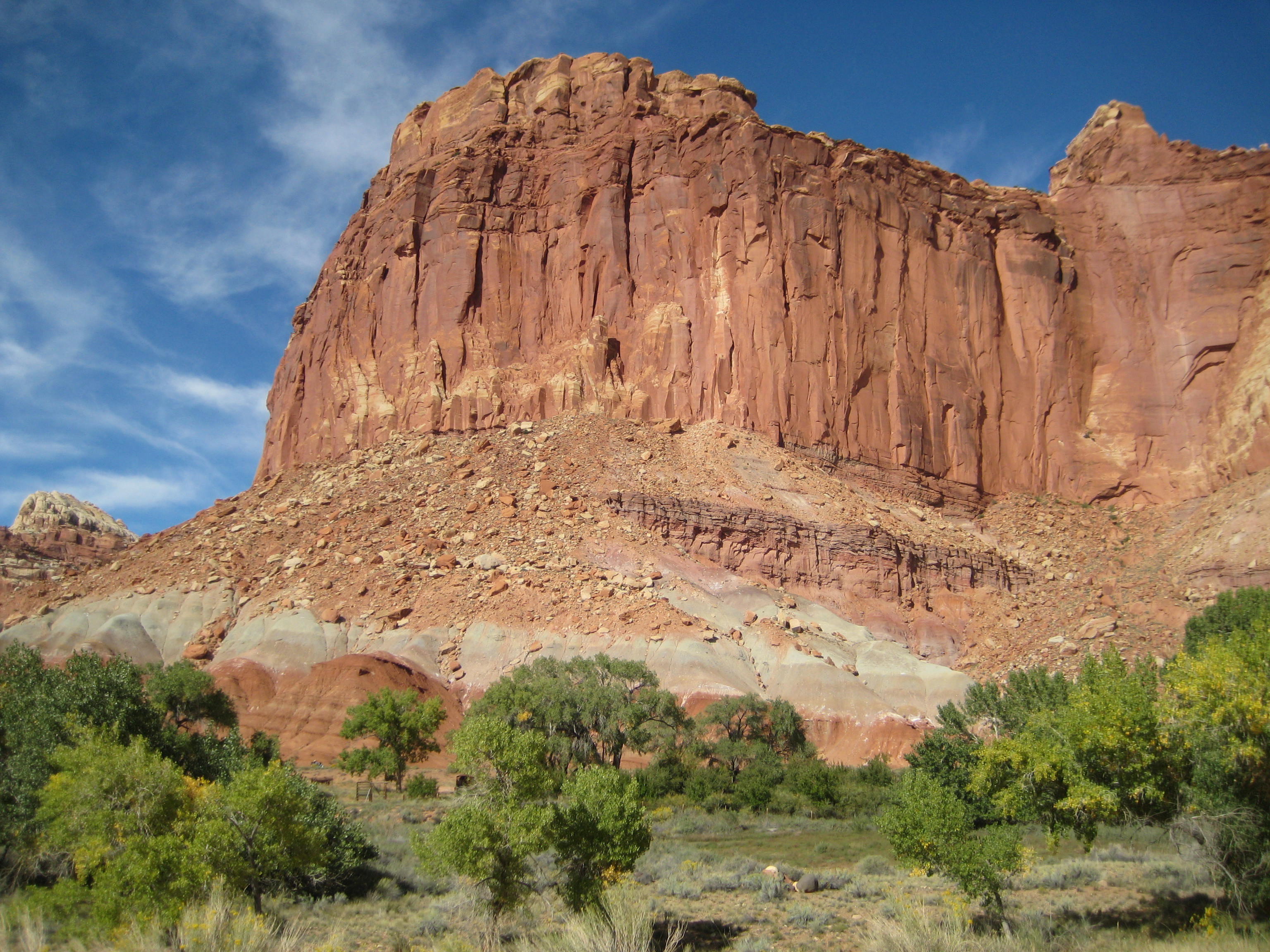
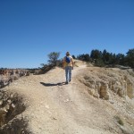
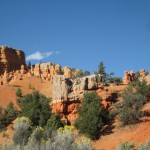
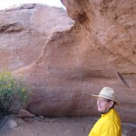
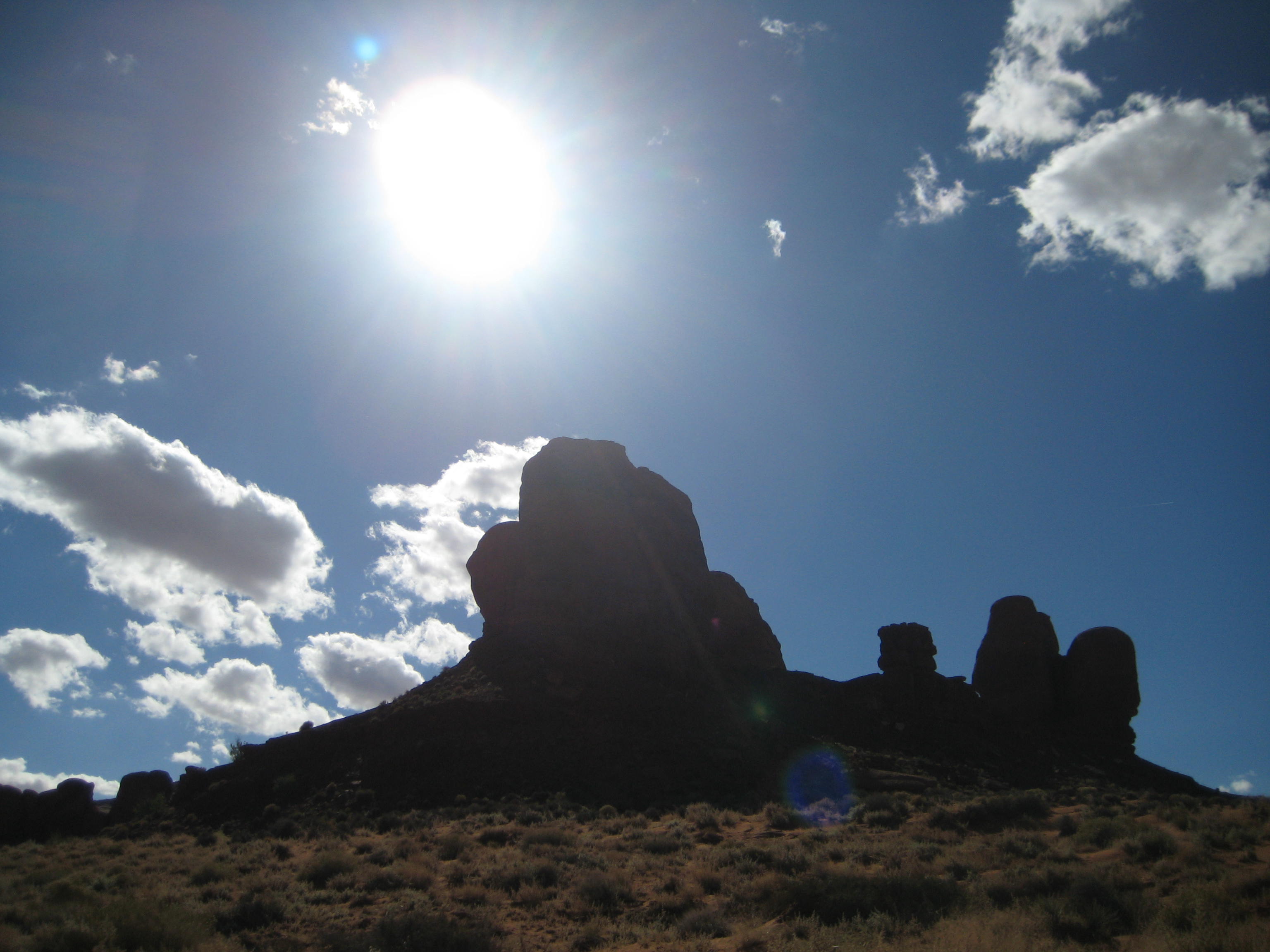
Admiring the massive rock
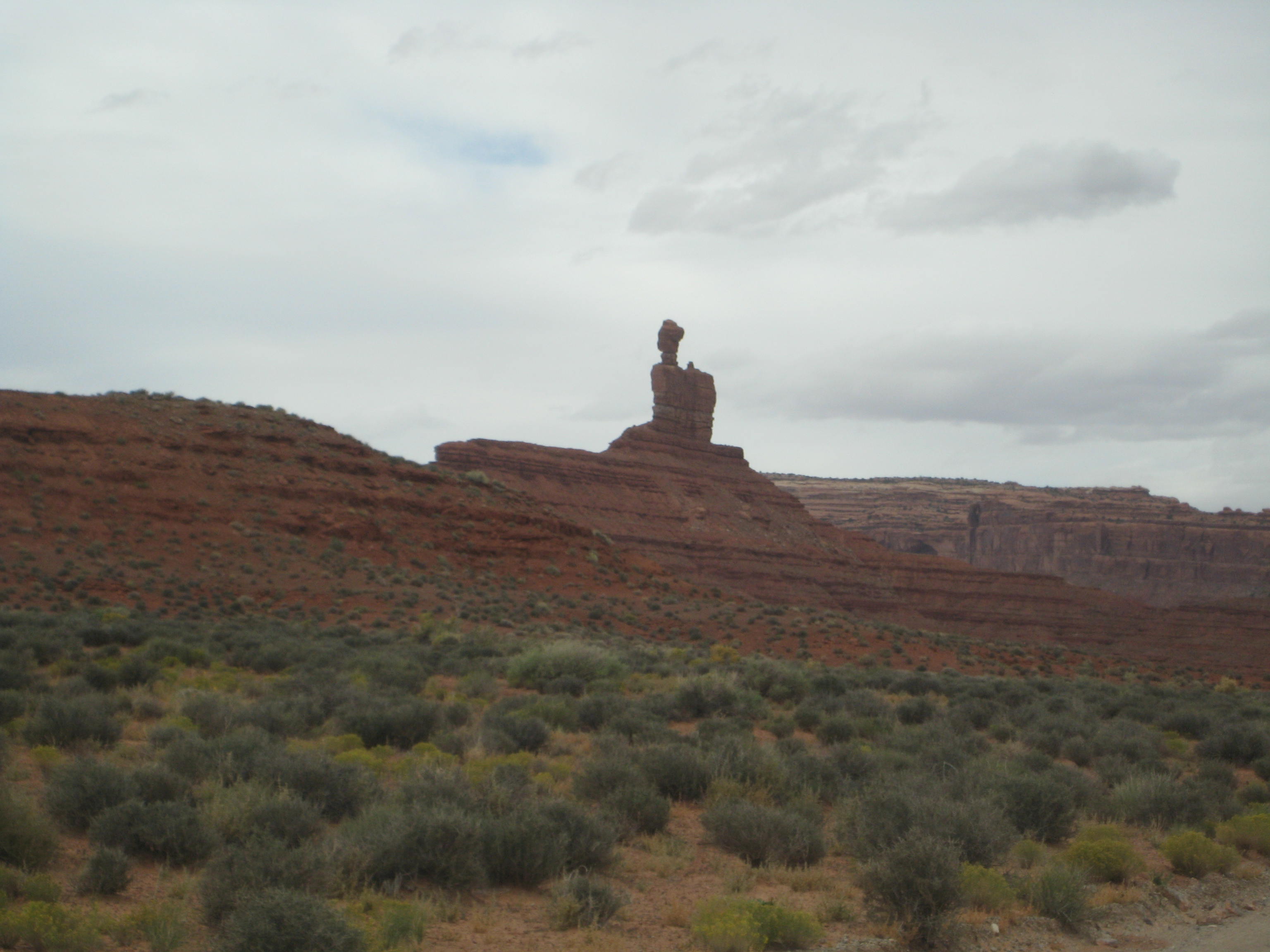
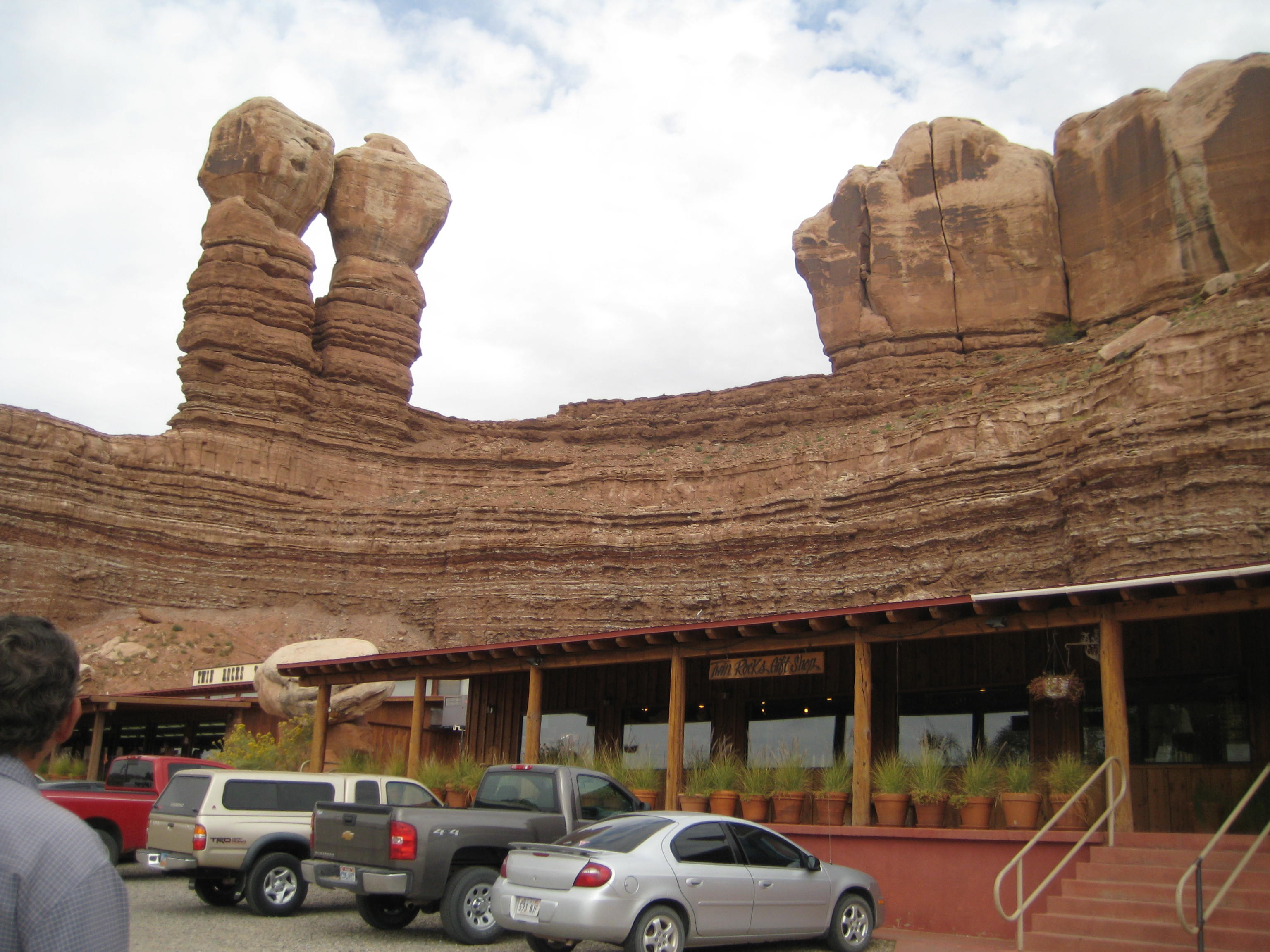
“Thumb”, Monument Valley