Tag Archives: Mormon pioneers

Eye Opener in Bluff, Utah — How did the Mormons get down Hole-in-the-Rock?

Arrived in the small town of Bluff as they were repaving the highway, so sat in traffic smelling tar until our time to follow the lead car.  Cottonwood RV Park is our home for three days and we have lovely views of the rock mesas surrounding us.  Elevation is around 4300 and weather is warmer than Moab.  Today, Oct. 9, we are preparing for rain.

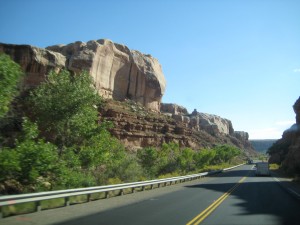
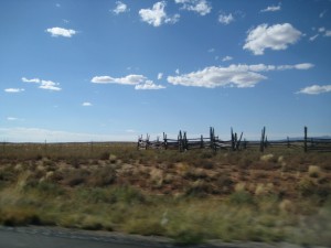
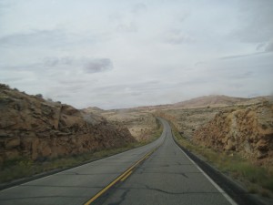
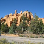
Highway Moab to Bluff

Highway Moab to Bluff

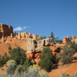
Highway scene Moab to Bluff

Highway scene Moab to Bluff

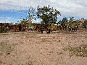
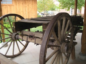
Little did we know Bluff has a replica of the original fort and pioneer cabins lived in by the first Mormon settlers that came to this area in the late 1800’s.   The Bluff Fort Historic Site fills a city block or more.  We spent several hours fascinated by the stories of the Mormon pioneers.  You hear so much about Hole-in-the-Rock Trail; at the Bluff historic site, you can read about the families that made the first expedition and built the settlement in Bluff, see an actual wagon that made the trip down Hole-in-the-Rock, watch a video about building the Trail and the first descent.  The community has built replicas of all the original cabins the settlers lived in when Bluff was settled after their treacherous journey from Escalante down Hole-in-the-Rock Trail.

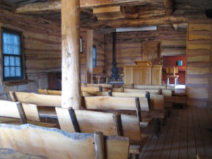
Mormon schoolhouse in Bluff

Mormon schoolhouse in Bluff

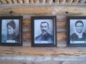
Mormon Family

Mormon Family

Fort at Bluff

Fort at Bluff

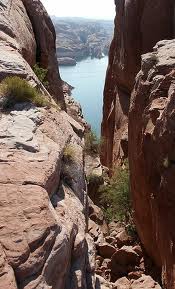
To me, Hole-in-the-Rock represents another example of the Mormon’s courage in the face of overwhelming odds, their cohesiveness and community mind set and a faith that drove them to accomplish the impossible.  They chose to devise a road down a 1200-foot sandstone cliff, a narrow, steep, rocky crevice to establish a short cut to cross the Colorado River.  Their pilgrimage from Escalante to what is now known as Bluff was to take 6 weeks (a 57-mile-long journey) and instead took six months.  In their party were two miners from Wales that played a critical role in using blasting powder to widen the crevice.  After months of working on the road, their entire party of 83 wagons, 250 Mormons and over 1000 head of livestock, made the descent in January, 1880, to the river.  Wagons were heavily roped and teams of men and oxen lowered the wagons through the upper crevice, which has slopes of almost 45 degrees.  Below that a wooden track was constructed along a slick rock sandstone slope that used posts in drilled holes to support horizontal beams.  To see a photo of Hole-in-the-Rock is to envision what an impossible task this was.  And yet, we were told, not one man, woman or child was lost, nor livestock, and in fact, two children were born on the historic journey.  And the descent was made in the middle of winter.  Tell me how this could be possible.

Hole-in-the-Rock

Hole-in-the-Rock

Wagon made 1800 trip down Hole-in-the-Rock

1800’s Wagon that made trip down Hole-in-the-Rock

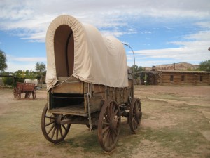
Pioneer Wagon

Pioneer Wagon

Jensen Nielson was one of the Mormons to make the expedition from Escalante to Bluff and became the leader of the Cedar City group.  Jens, as he was known, had lost the use of his feet in another expedition where he succumbed to frostbite.  The story goes that his wife, Elsie, loaded Nielson, feet frozen, into her handcart and pulled him to the next camp, saving him, though he became permanently crippled.  Jens and Elsie buried their only son on this expedition, 12-year-old Jens who succumbed to snow, cold, starvation and exhaustion, as well as did the other four men traveling with them.  On the 1880 expedition from Escalante to Bluff, It was Jens Nielson that made the decision to  go forward at the crevice known as Hole-in-the-Rock.  Jens Nielson served as ward bishop for over two decades and the first bishop of Bluff.

From a diary written by Josephine Catherine Catterly Wood about the journey from Escalante to Bluff :

All is well in health, but the life is frightened out of us.  I don’t know what this place is called, but I call it the Devils Twist, and that’s a Sunday name for it.  I cannot imagine any worse than they are here.  Aunt Mamie says, ‘My, but this is good schooling, and good for the liver.’  We are nearly jolted to pieces.  There is no use for me to try and describe it.  This is the most God-forsaken and wild country I have ever seen, read or heard about.  We hardly get started when they have to double horses on the wagons, the sand is so deep in places and in other places nothing but rocks.  Up hill and down hill, steep and slick, the poor animals.  I never saw horses pull, paw, fall down, and get up as they have today.  We do not stop for dinner, and the horses haven’t had any water, they are almost given out.

The women and children have had a good deal of walking and pushing to do so far on this trip.  The wind is blowing so bad we cannot see far ahead for the sand, and if we open our mouths, they will be filled.  The men take one wagon a little way, then unhitch and come back for another all day, so we have traveled only a few miles today.  No water again tonight, although the children are crying for it and it is very cold.  The men went hunting for water and found a little, and the children are relieved.  They fell asleep without supper and we cannot do dishes again tonight.

Traveled over rocks no human being should ever try to go over, but we kept going, until we reached the dreaded Colorado River.  I can’t describe how we ever got down, and I hope you won’t ever come to see.  Men were there with a raft.  They had two boats fastened to either side, and they would row the wagons across.  It is a wonder our wagons are not broken to pieces, for today is even worse.  We have to go down a rocky place; it is steep and slick, the men hang on the back of the wagons to keep them from rolling on the horses or from tipping back over the front.  They have to wait until one wagon is out of the way before another starts, because there is no place at the bottom to stop; just down and up; almost a ‘V’ shape.  The horses have to rest so often going up this hill, and as soon as they do, the wagons start rolling back, so we have to block the wheels by putting rocks back of them.  This is dangerous, we were afraid of being crushed.  We have been walking most of the way for two days.

The same Jody that wrote the journal entry above became the midwife for Bluff.  Between 1886 and 1908, Jody delivered 165 babies (recorded) and it is said she might have delivered twice that number.  Aunt Jody, as she was known, was called and blessed by Bishop Jens Nielson to administer to the health of the people. With very little medicine available, Jody learned from the Indians which herbs were useful and how to apply them.  The Indian people would also come to Jody for help.  Jody was an excellent midwife and often stayed with mother and baby for a week or more to help, even though she had her own family and children to care for.

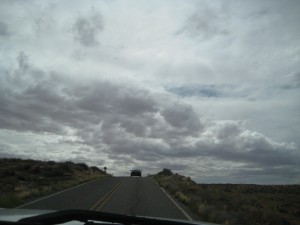
Highway from Bluff to Goosenecks State Park

Highway from Bluff to Goosenecks State Park

Clouds threaten rain

Clouds threaten rain

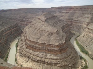
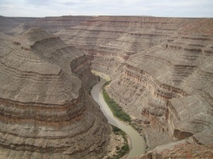
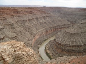
From Bluff, we took a road trip to Goosenecks State Park.  A thousand feet below the overlook, you see the San Juan River twist and turn through an entrenched river meander.  You can view the sides of the steep canyons in patterns that reflect over 300 million years of geologic activity.  Goosenecks is a nine-mile drive off the main highway but well worth seeing.  It takes your breath away, like a scene from another planet.

Sinuous goosenecks in the river

Sinuous goosenecks in the river

San Juan River at Goosenecks State Park

San Juan River at Goosenecks State Park

Steps in the canyon wall formed over millions of years

Steps in the canyon wall formed over millions of years

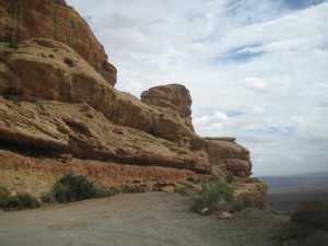
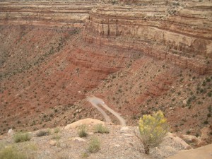
Our next visit was the Moki Dugway.  This is a dirt road that winds 1200 feet from top to bottom, 3 miles at an 11% grade.  Why did we drive the Moki?  Because it is a scary road with no shoulders and you look over the edge and get a real fright.  You feel like you are about to topple right over the edge of the road.  On the other hand, the views are incredible of Monument Valley and Valley of the Gods.  A ‘Dugway’ is a road which is dug or excavated into the land form to provide a path for transport.  The Moki Dugway was built to haul uranium and vanadium from Cedar Mesa at top to Mexican Hat.

Beginning the Moki Dugway

Beginning the Moki Dugway

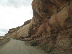
Road excavated in the side of rock

Road excavated in the side of rock

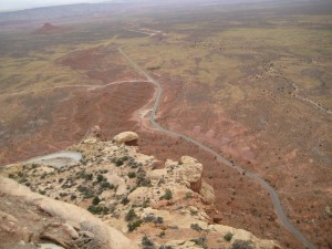
Looking down on switchbacks of the Moki Dugway

Looking down on switchbacks of the Moki Dugway

Looking down to the valley below from top of Moki Dugway

Looking down to the valley below from top of Moki Dugway

Our last visit was a drive through Valley of the Gods.  What I remember most is the jolting, jarring, bouncing, down and up, up and down, jostling ride.  I got just a taste of what the Mormons had to go through on their route from Escalante to Bluff.   I gripped the strap in the pickup the entire route, a comfortable, warm, dry conveyance with music, food, water, nothing compared to the Mormons traveling in their open wagons with canvas sides in the dead of winter.  The Valley of the Gods drive is seventeen miles through BLM lands–I’m surprised the road wasn’t closed.  The sandstone formations loom from the desert floor in odd shapes and sizes and captivate the imagination.  The road crosses many washes and is not recommended driving during inclement weather.  We held our breath as rain was predicted for the afternoon which would make the road a nightmare.  The sentinels and monoliths of sandstone were sculpted over eons of time and date from 250 million years ago, deposited in huge sand dunes near the shores of an ancient sea.

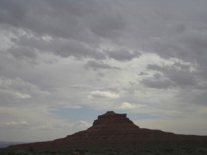
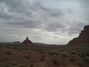
A sandstone formation, Valley of the Gods

A sandstone formation, Valley of the Gods

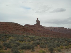
Unique formation, Valley of the Gods

Unique formation, Valley of the Gods

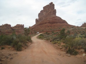
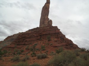
Tall monolity

Tall monolith

Sandstone formation

Sandstone formation

Rainclouds over Valley of the Gods

Rainclouds over Valley of the Gods

The rains did come — last night — we were pummeled by a pinging and dinging on the trailer roof, along with strong winds, thunder and lightning.  So we took a day to hunker down, stay warm and dry, read and write.  We will stay in Bluff through Friday night, then Saturday night at Gouldings campground near Monument Valley.  Our stay at the North Rim of the Grand Canyon is still up in the air.  We are taking it a day at a time.  We hear one thing and then we hear another, about whether the parks will open.  We strain to catch the names of the parks that are said to be opening.  I wonder how history will record the 2013 shutdown of the Federal Government.  I definitely have ‘my version.’
Clouds leaving Valley of the Gods

Clouds leaving Valley of the Gods

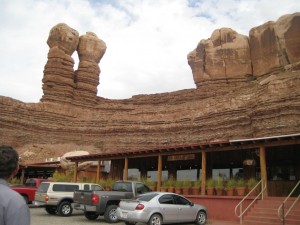
Red Rock Café and Trading Post, Bluff

Red Rock Café and Trading Post, Bluff

Pioneer? Or not?

You will notice all my photos are together in a Gallery and my blog follows.  This was an experiment clicking buttons.  I personally like having the photos intermixed with the narrative.  What do you think?  For now, while we are traveling, using the Gallery is much easier.  Enjoy this post on our travel to Kodachrome Basin State Park, Bryce Canyon National Park, Tropic, Cannonville, Panguitch and Red Canyon, Utah.

In Steve Jobs biography, the author quotes employees of Jobs saying more than once Jobs made them believe they could do the impossible and somehow they did it because they didn’t know how impossible it was.  Here in Utah, it appears the impossible was done by those intrepid Mormon pioneers.  In story after story, I read how these Mormon pioneers accomplished deeds an ordinary man would almost be incapable of because of their faith, their perseverance and ingenuity.  Now I contemplate what that faith enabled these men and women to accomplish.  Perhaps it gave them a tenacity to keep going where most men would give up because the Mormons believed God was leading them.  Maybe these pioneers received powers of the Spirit that enabled them to do heroic deeds.  Did these pioneers receive miracles exactly at the moment they needed one?  I only know that through their determined tenacity and grueling, backbreaking work, Utah is what it is today.

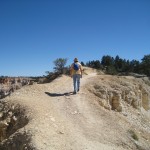
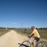
I tried practicing a little of the Mormon pioneer spirit today biking Red Canyon.  If you believe the Dixie NF Visitor Guide, you would know this 9-mile bicycle trail is an easy ride on a paved trail along Highway 12. If you believe this pioneer wanna-be, you would know the trail is a grueling uphill grade from its beginning at the Thunder Mountain Trailhead to its end at the Coyote Hollow turnoff.  It might help to understand that my biking skills are modest, pleasure riding skills best practiced on flat ground.  I felt when I began that if I managed a couple miles, I would be doing fine. The wind was at our back on this bright, sunny fall day.  As I hit about mile 5 of the uphill grade, these were some of the messages cursing through my brain:  you can do this; if someone were by your side encouraging you, you would keep going; God has given you physical health and ability so use it; you cannot quit because the future depends on you; well, you get the gist.  Basically I was pretending to be a Mormon pioneer and understand what kept driving them to do things almost humanly impossible [it truly felt like I couldn’t possibly do one more hill; my legs were like rubber].  I am thrilled to say we did make it to the Coyote Hollow where the trail flattened out to a plateau. On the ride back, with the wind at our face, the bikes flew down the grade with almost no effort.  I screeched to a halt often because of the incredible views of the red canyons, spires, tunnels, arches, and vistas.  The landscape is so rich and vast and gives you a feeling of expansiveness and grandeur and awe.

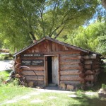
Mossy Cave trail is an easy .8 mile walk on the perimeter of Bryce National Park.  Yet on this trail, you also can see the waterfall and what is known as the “Tropic Ditch.”  Early Mormon pioneers excavated a 10-mile ditch using hand tools to channel water from the Sevier River to the Paria River.  This allowed settlers to successfully farm, grow orchards and raise livestock in an area known as the town of Tropic.  A young man that became a Mormon at age 18, Ebenezer Bryce, was called to help establish a settlement in the area.  Ebenezer and his wife had 12 children that were all raised to adulthood, an almost impossible task in 1875.  In Tropic, you can find the homestead cabin built by Ebenezer, a rather crude, one-room log shelter.  I poked my head inside the dark, dusty cabin and had nothing but praise for any woman that could call this log shelter home, and if she raised a family in this shelter, well, she was nigh near a saint in my eyes.  My experience with wind and sand at our campsite nearby led me to think pioneer women must have had a continual fight to keep their homes clean battling the elements.  Which is nothing to speak of compared to having to haul water in a barrel for the needs of a family.  You can imagine why there was such celebration when the Tropic Ditch delivered the first stream of precious water to the pioneers that had settled in Tropic.  When we returned to our camp after the days outing, I tried to imagine being one of those Mormon women as I viewed our tarps tossed and blown by the wind, sand everywhere, grit on the table, bed, floor, everything I touched seemed to have a layer of grit and sand.  Our comfortable trailer with glass windows and tightly sealed seams could hardly compare to log cabins and abodes where cracks and crevices must have been commonplace.

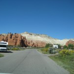
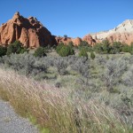
At Kodachrome Basin State Park, we are surrounded by towering sandstone chimnies and spires in this redrock semi-desert Park.  My brother tipped us off about Kodachrome, where we booked five nights.  We are in a basin surrounded by the Colorado Plateau with distinctive features called Sedimentary Pipes, columns of rock that rise from the basin floor.  Here we have full hookups for our trailer.  In this part of Utah, this is an unexpected benefit but so very useful as temperatures dip in the 30s at night and a flip of a switch turns the heater on to keep us warm and cozy.  Meals are fast and easy with a microwave and pre-prepared food.  Electricity enables us to have music and light to read by.  Yet we are in an unexploited basin where night skies are brilliant with stars and quiet echoes off the Plateau and giant rock sentinels.

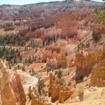
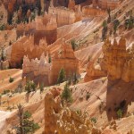
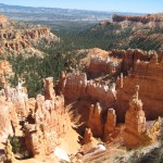
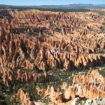
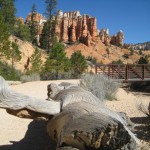
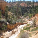
From Kodachrome, we take side trips.  Bryce Canyon National Park is a 20-minute drive.  From the Lodge at Bryce Canyon, we hike to Sunset Point and Sunrise Point, then follow the Rim Trail to Bryce Lookout.  From the rim trail, we see endless vistas of hoodoos, fins, mazes, and spires etched into the pink limestone of the Paunsaugunt Plateau.   At Bryce lookout, we catch the shuttle back to the Lodge for lunch and Wifi.

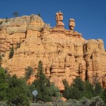
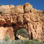
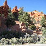
Panguitch is another side trip, a small town that is an historic Mormon pioneer settlement.   We stopped at an art gallery whose owner, Veda Hale, painted all the art in the gallery and authored a book titled “Swell Suffering,” a biography of Maurine Whipple.  We learned from Veda that Maurine Whipple was the author of a book titled “Giant Joshua” that Veda explained drew parallels with Gone With the Wind, from a Mormon perspective.  Veda was so interesting to talk with.  Two of Veda’s paintings were dear to me, not only as art but also as a reflection of a belief system, a world view I found very endearing.  From Panguitch we drove back to Red Canyon on Highway 12.  Red Canyon is a series of spires and hoodoos eroded out of red limestone and sandstone.  A paved bike trail runs parallel to Highway 12 for nine miles.  Here we stopped for a bicycle ride, the five-mile one-way ride mentioned earlier.

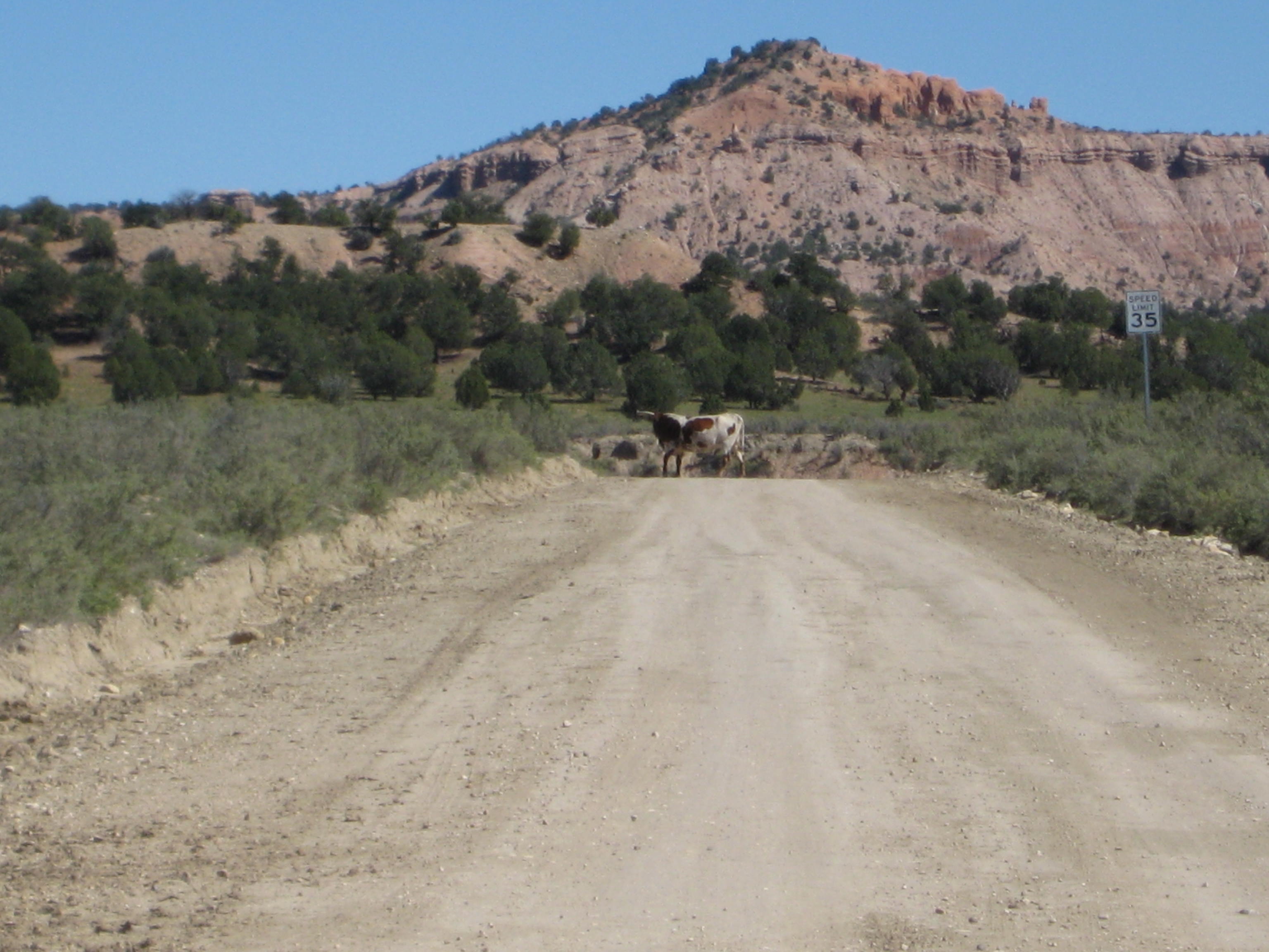
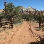
Biking around Kodachrome Basin proved adventurous.  Right outside the Kodachrome entrance is a dirt road to Cottonwood Canyon and Grosvenor Arch.  There was a sign “Road Closed” which we ignored.   We rode for miles seeing nobody but vast stretches of desert-type sand landscape with sparse vegetation.  We eventually realized we were riding through someones ranch as cows eyed us from either side of the dirt road, and a cow with horns sauntered across the road in front of us.  Eventually we came to a crossing guard and could see far in the distance farm buildings against the base of the plateau.  We wondered if a Mormon family lived way out here in isolation, but decided to turn around and bike back to camp.  The road was marked with small signs with numbers like “400” which meant nothing to us.  We spoke with an old timer at the camp store who said he had to pull cars our of the mud where they sink after rainstorms; the old timer said the mud is like quicksand and the cars become caught like animas in a trap.  The road was closed because of recent rainstorms.

Kodachrome has no Wifi or cell phone coverage.  One evening we drove to Bryce Canyon NP to attend an astronomy program on Virgo, followed by stargazing through the National Park telescopes.  We saw the Andromeda Galaxy, the Virgo Constellation among others.  Bryce is rated as a phenomenal place for stargazing; we swear stargazing from the Hot Tub at Bella Luna in Sea Ranch is certainly every bit as phenomenal.  In fact, we often see the Milky Way at Sea Ranch every bit as powerful as we did at Bryce.

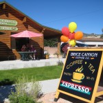
In Tropic, we stopped at the Bryce Canyon Coffee and Tea Shop with WiFi.  After the breakfast crowds left, we had the shop to ourselves for hours.  Across the street is the Tropic Heritage Center and library.  They have a shelf of books on Mormon history in the Bryce Valley area of Utah which I found fascinating.  We got kicked out when a man came to close up after 5 p.m.    At Bryce Canyon Lodge, there are numerous electrical outlets to plug in if you are addicted to your technology and need powerful WiFi.  The Lodge has a rustic restaurant that serves breakfast, lunch and dinner.  Clarks Restaurant in Tropic serves good, homespun meals.  Rubys Inn in the town of Bryce Canyon is the most extensive gift shop, restaurant, grocery store, gas station, Internet Service and if it can be sold, you can find it at Rubys, all-encompassing shopping we’ve found in Utah.

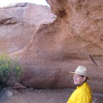
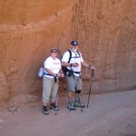
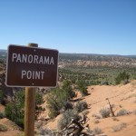
The Panorama Trail in Kodachrome SP takes you to several caves, up close to the spires and rocks and to a canyon and eventually up a hill to Panorama Point.  You can hike for 3 miles or take all the side trails for a 6-mile hike.  We ran into a couple from Boston that were quite the adventurers.  He was a math teacher, she a nurse.  They were tent camping.  When asked if we saw the Star Show, we were perplexed, asking if the Park put on a show.  No, they said, we laid on the rocks for hours and observed the stars–beyond beautiful.  With the recent winds and drop in temperatures, I admired their grit.  Even with the heater running in the trailer, the cold chilled me to the bone.  I had a handkerchief wrapped around my head that day to contain the dust and keep a sinus headache at bay, to no avail.  Kodachrome Basin State Park is a gem tucked back in the hills and has lots of opportunities to enjoy the outdoors hiking, biking, ATVing, and exploring.  I was sorry to leave but we packed up the next morning, heading to Escalante and all the new adventures waiting for us.